The Lower Mississippi River Water Trail
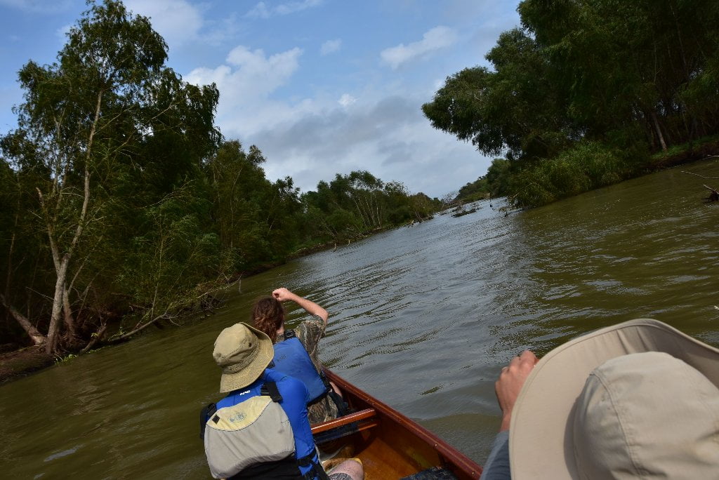
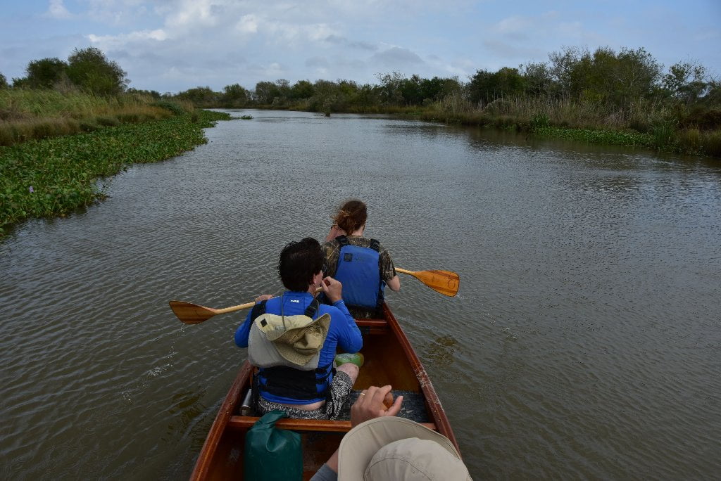
Your route: Main Channel vs. Back Channel
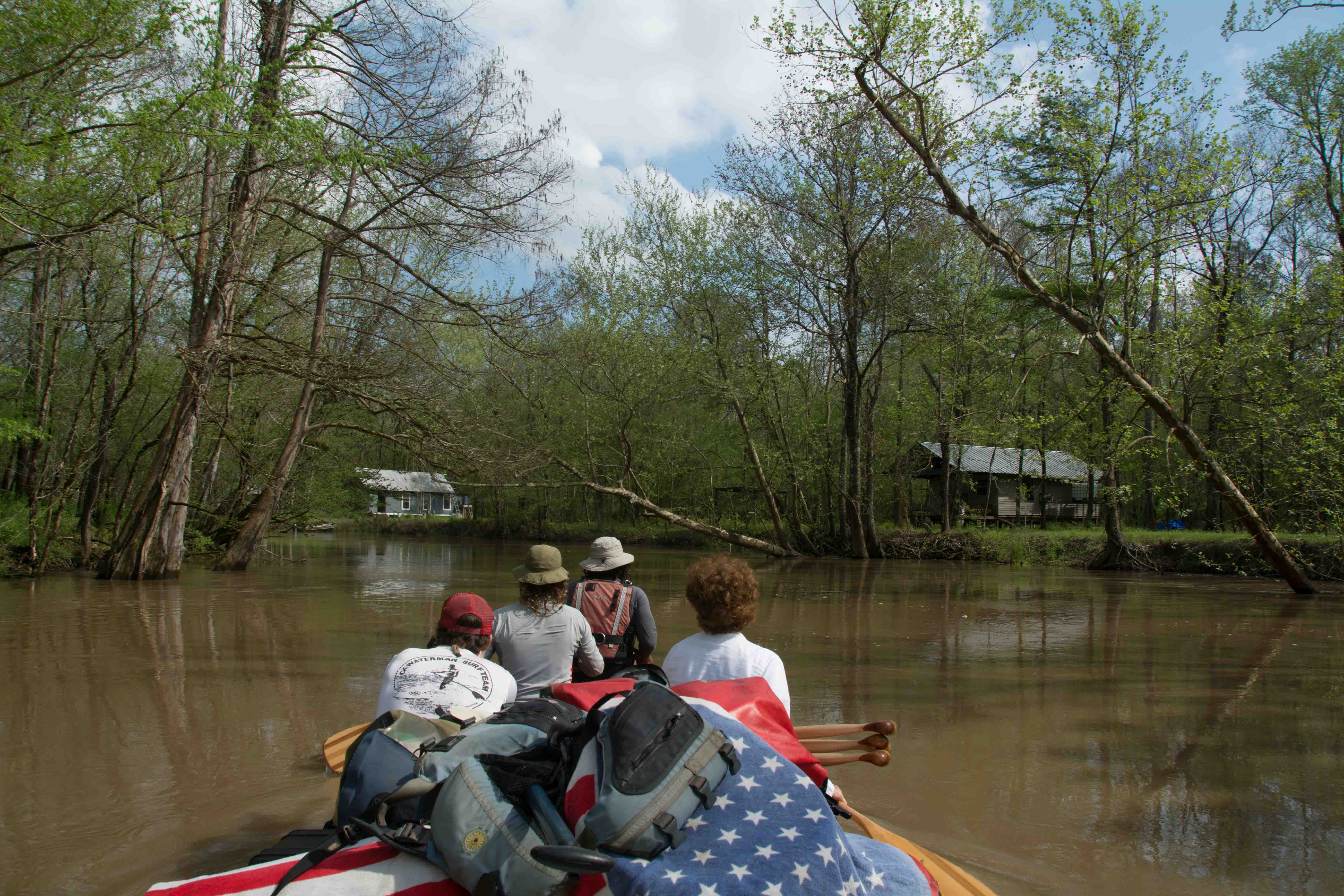
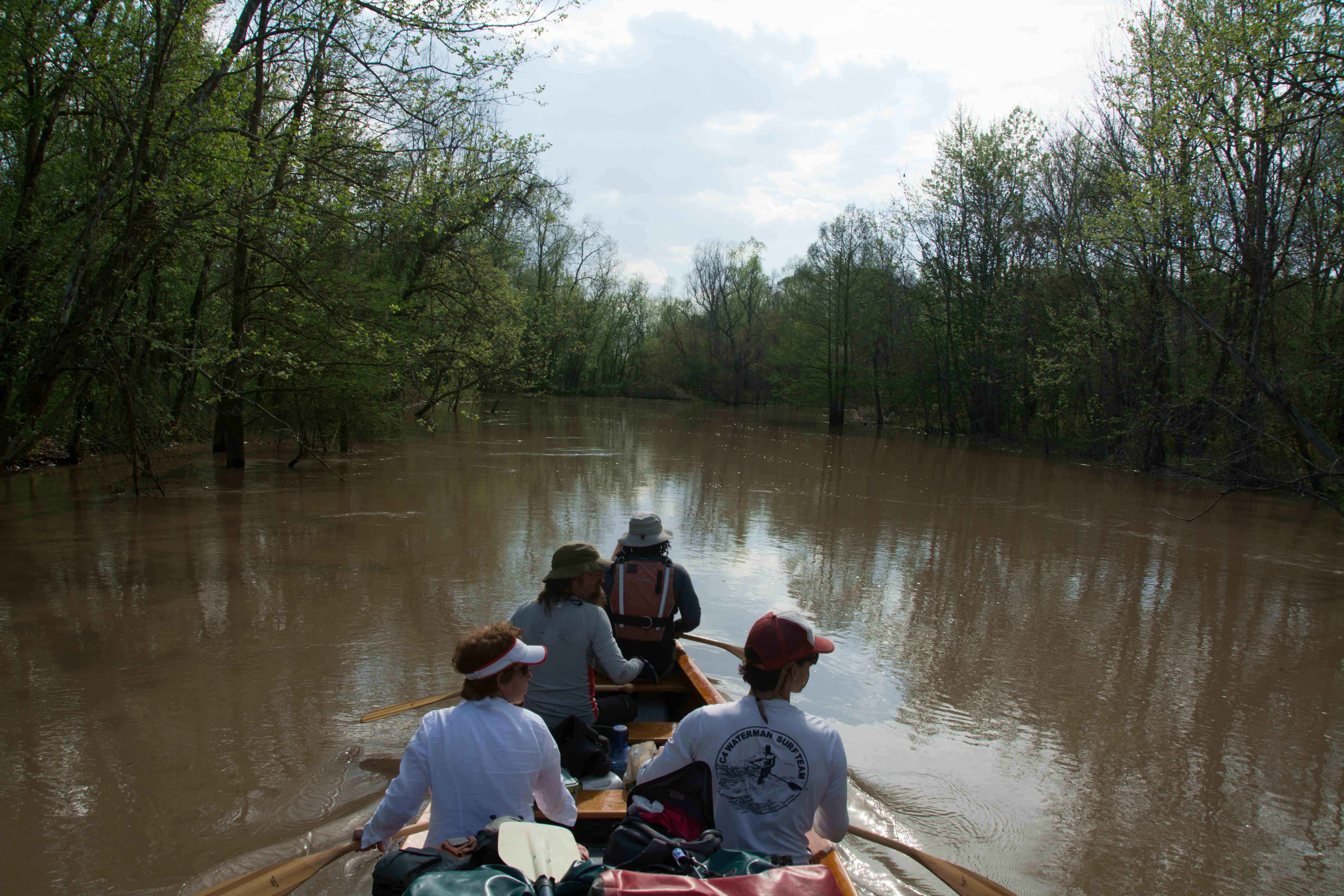
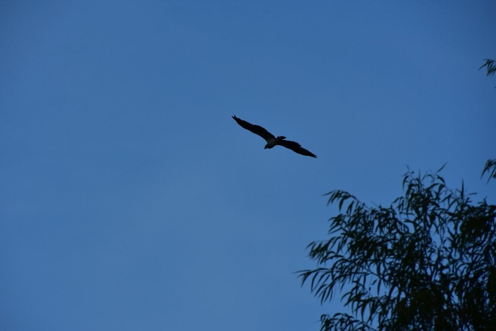
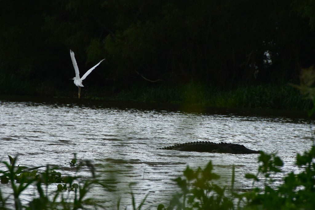
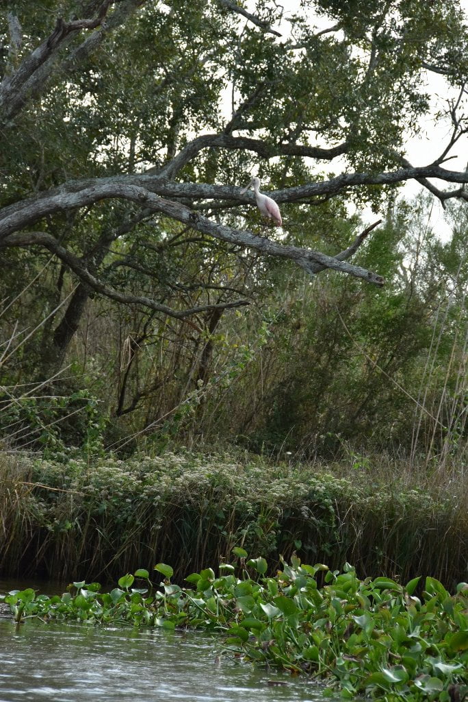
Rivergator will detail the Main Channel of the Atchafalaya which is almost always the fastest route on the water, but also full of traffic and less scenic; and the Back Channels, which is slower but is full of wildlife and big trees. The Back Channels of the Atchafalaya are the hundreds of bayous, lakes, bays and canals that make up the 20-mile wide basin on wither side of the Main Channel. Main Channel is always open regardless of river level, but back channel is dependent upon river levels. Many back channels are closed in low water, open with slow flow in medium water, and full of strong flowing currents in high water. Main channel hazards are buoys and towboats. (Avoid both!) In the back channel your main hazards are waterfalls over dikes (dependent on river level), snags, strainers and channel blockages (driftwood piling against trees or low bridge). Rivergator will detail all known waterfalls and blockages. But on the river things are in constant flux. What one year is an uninterrupted flowing back channel might next year be blocked by a pile of logs and tree removal dropped by some logging operation. Two things: 1) be a smart paddler and use you own best judgment about what’s safe to paddle and what isn’t. And 2) let us know if you discover something of importance not listed in the Rivergator, like a dangerous waterfall or a blocked channel. Email author John Ruskey, or leave comment in comment boxes which are located at the bottom of every page. That way we can update Rivergator descriptions and keep other paddlers informed about these difficulties and possible hazards! Dikes present special challenges to the back channel paddler. At low water they are exposed, and you can paddle around any dike, but you will often discover strong eddies with ripping cross currents and whirlpools. At medium water you can paddle over most dikes, but that is when the waters are at their most turbulent. You may not see any solid evidence, but you will know they are there by the exploding boils, whipping currents, whirlpools and agitated turbulence. In high water most dikes get swamped over by smooth flow and you hardly notice their influence. In medium water back channels waterfalls sometimes form over a dike, with significant drops (2-3 feet), strong v-line tongues, standing waves, and turbulent side waters. If you hear the sound of rushing water and see the plane of the back channel disappear and drop a level, and see leaping whitewater beyond — Be especially cautious! Remember the paddler’s mantra: when in doubt, stop and scout!
The Atchafalaya Split
Below Krotz Springs at mile 56.4 RBD the Atchafalaya divides into two big channels each leading to vastly different experiences for paddlers. Both routes make for good paddling and good scenery along the way. The right hand fork is the Old Channel of the Atchafalaya. And the left hand fork is the New Channel, sometimes called the “Whiskey Bay Pilot Channel.” This point also marks the end of the levee on the west bank. From here on the batture opens up like a blossoming flower, eventually becoming 20 miles wide. Most of the Atchafalaya River flows into the Whiskey Bay Pilot Channel, hence it is the fastest route, and is indeed today considered the main channel. This route is a good choice if you want to make the best speed possible, and aren’t interested in some sight-seeing and exploring some of the back channels of the Atchafalaya Basin. At most water levels the Whiskey Bay Pilot Channel will cut your time in half over the Old Channel. The Whiskey Bay Pilot Channel is more forested and feels wilder. On the other hand, you will miss a rare opportunity for small channel, or back channel paddling through the extensive forests, swamps of the Atchfalaya Basin, and some of its small communities. The Atchafalaya Basin is a place where man and nature coexist in some kind of harmony; where Cajun families live on the waterways and the outdoors is an intimate part of their daily lives; where houses have been built on stilts hanging over the river, or on wooded banks of the bayou, or on houseboats, and where the communities end the deep woods begin. You will experience some of this intimacy with nature, this deep sense of place following the Old Channel of the Atchfalaya River through Butte La Rose. Either way you go will eventually bring you back to the same place, which is the bottom end of Splice Island, where the two channels rejoin, at mile 75.5.
Maps and Mileage
On the Atchafalaya we will leave the USACE Mississippi River Maps behind and go to the 2012 Atchafalaya River Charts , which can be downloaded free-of-charge from the USACE New Orleans website by clicking on the below. All Rivergator mileage will refer back to the USACE system.
USACE 2012 Atchafalaya River and Outlets to Gulf of Mexico
USACE 2012 Atchafalaya River and Outlets to Gulf of Mexico
Navigation Chart Folio, 6th Edition
http://www2.mvn.usace.army.mil/ENG/EDSD/mapbooks/atch_nav_2012_map.asp
Louisiana Geological Survey Atchafalaya Basin Map
In addition to the USACE maps, you will want to get a copy of the Louisiana Geological Survey Atchafalaya Basin Map — which will become your best friend for any expedition down the Atchafalaya! This map is essential to any off channel paddling. It’s large scale is wonderful to read. In one map you will be able to see the entire Atchafalaya Basin – to Morgan City anyway.
The Atchafalaya Basin Map is a full color, large scale map of the basin above Morgan City created by the LSU Louisiana Geological Survey. This very useful map was printed in 2004 and is still accurate 12 years later, even as some channels are closing up due to sedimentation. Use your Louisiana Geological Survey Atchafalaya Basin Map for wayfinding the best route. (Check latest details on Google Earth. The Atchafalaya Basin is surprisingly connected, thanks to a series of satellite towers situated throughout). Map printed on waterproof paper. Features main channel, back channels, bayous, vegetation, campsites, roads, boat landings, levees, streams, and more. Fold out or rolled in tube. Satellite image on reverse side. Important note: does not include Atchafalaya or Wax Lake Deltas below Morgan City/Bayou Teche. Contact the Louisiana Geological Survey at http://www.lgs.lsu.edu or call 225.578.8590. Or call the DNR Atchafalaya Basin Program Office at 225.342.6437. Folded map = $14.00 and Tubed map = $17.00
Maps of the Atchafalaya Delta
To get to the Gulf of Mexico add another map to your references: and that is the Maps of the Atchafalaya Delta and the Wax Lake Delta. Below Morgan City, you will have to retire your trusty Atchafalaya Basin Map (Louisiana Geological Survey). Unfortunately this excellent map does not continue below the Intracoastal Waterway (mile 124). Fortunately for us paddlers there other resources available free-of-charge. Before you go into the Atchafalaya Delta update your maps with the below! You can see all of the Delta on Google Earth, but none of the names, mileage, and very little context. An excellent map of the Atchafalaya Delta detailing all of the passes, the islands and their names – and a WMA campground only accessible by boat – can be had at no charge by going to the following website for the Atchafalaya Delta Wildlife Management Area:
http://www.wlf.louisiana.gov/wma/32639
Click on this pdf to download maps of both the Atchafalaya Delta and the Wax Lake Delta:
River Speed and Trip Duration
The Atchafalaya River averages 3 mph at low water, 5 at medium water, and 7 at high water. An average paddler can make 2-3 mph. Making adjustments for wind speed, stops along the way, and any alternate exploration, you can use the above to roughly estimate your time of travel on the big river. The last unknown factor is towboats. You might lose time due to necessary waits for passing tows. Never try to outrun a tow, and never paddle across their line of travel.
Dangers of Paddling through Morgan City
As you are approaching the Port of Morgan City be prepared for several new challenging aspects to your adventure. Above Krotz Springs the levees hemmed in the river and you experienced strong currents. But below Krotz Springs the levees fell away, alternate channels and bayous opened up allowing the water to spread outwards from a one-mile wide valley to a 20 mile-wide valley. The river widened and the current slowed down. But now you have passed the cypress-tupelo swamp heart of the River of Trees and the levees are bringing all of the water back together again, plus additional water from rainfall and tributaries. You will feel the current picking up as you paddle through Stout’s Pass, and past Drew’s Pass. All of the water flowing down through Upper Grand Lake and Bayou Sorrel and down along the East Protection Levee now gathers together at the base of Flat Lake and starts migrating downstream towards Morgan CIty with more purpose. All of the water flowing down the West Basin from Butte La Rose on down is funneled along the West Protection Levee and focused into Stout’s Pass where it joins all the water pouring out of Flat Lake.
This is all to say that the Atchafalaya River moves deep and fast through Morgan City. Furthermore, there are three bridges to get under. Traffic volume and size will increase. Be very careful around bridges and when making landings. Pull your vessel high above water level, three feet above when possible. Waves from passing work boats, tugs and ships could wash over any low places, especially within inlets or at the edge of shallows (where the wave heights and tide effects tend to multiply frighteningly). The new challenges are these: 1) bigger waves, 2) busy tows and bigger ships, 3) Fog, 4) fleeted barges, 5) buoys, and 6) currents and tides. See below for continued discussion.
Expert paddlers only!
Expert paddlers only on Atchafalaya River. You should be be very familiar with your canoe or kayak, its abilities and its limitations. Should be able to self-rescue in your vessel if necessary. Your canoe should have high enough sides (recommended min. 13″) and ends (recommended min. 20-22″) to handle waves. No racing canoes. Kayaks should be made for big open waters. If your kayak has an open cockpits you should bring and wear your spray skirt during inclement weather. Sea kayaks are the best for the Atchafalaya because they are made for the big waters. Shorter kayaks are okay, but playboats are generally not recommended unless you are a very strong paddler because they are slow. You should be strong enough to paddle through big waves, strong winds, and make long-distance ferry crossings from one side of the Atchafalaya River to the other (usually a mile or more). You should be comfortable paddling in the vicinity of 1/2 mile long towboat/barges. You should be able to negotiate big strong boils, powerful eddies, and possible whirlpools. You should strong enough to paddle through transitions of fast currents (such as coming out of an eddy into the main channel). You should be strong enough to handle long sets of wave trains, sometimes a mile or longer, with waves coming from multiple directions. If you have any doubts about your ability go read the Rivergator safety section for details. Write the author John Ruskey john@island63.com. If you still have doubts, call or write big river guide Adam Elliott in Natchez, go to www.island63.com and click on the Natchez section for contact info. Adam can meet you just about anywhere and either fill in the questions you might have, or provide you expert guiding services, including outfitting, meals and shuttle (if desired).


Leave A Comment
You must be logged in to post a comment.