The Lower Mississippi River Water Trail
Simmesport, Louisiana
Simmesport was founded by Bennet Robert Semmes (1811-1888), one-time owner of White Hall Plantation which was located on the opposite bank of the Atchafalaya River. Simmesport is located in Avoyelles Parish, Louisiana, United States. The population was 2,161 at the 2010 census, with approx 50% white and 50% black. In December 2005 industrialist Frank Stronach founded a new community just south of Simmesport known as Canadaville, a place intended to house people displaced by Hurricane Katrina.
Canadaville, Louisana
Canadaville (formally Magnaville) was a small community just south of Simmesport on LA Hwy 105 that existed for five years between 2005 and 2010. It was a project by Austro-Canadian industrialist Frank Stronach to build an experimental model community for people displaced by Hurrican Katrina. Canadaville occupied 912 acres of land near the Atchafalaya River and opened in early December 2005. Rather than simply providing temporary shelter to the evacuees, Stronach intended Canadaville to help its residents integrate into a long-term holistic farming community that would raise livestock and seafood to be served at Gulfstream Park in Palm Beach, Florida. The community was technically called Magnaville but the community members themselves decided that they preferred to be known as Canadaville. The 75 mobile housing units are 1420 square feet (132 square meters) in size, and have three bedrooms and two bathrooms, air conditioning, washers, dryers, and other amenities. As former Canadian MP Dennis Mills described it, “this is no FEMA Village” Residents, which numbered over 200 by August 2006, Katrina’s first anniversary, were able to stay rent-free for five years, with the requirement that (if able-bodied) they contribute to the community by learning new skills or using their existing skills. Since many of the Katrina evacuees were extremely poor and generally not well-educated, Canadaville’s backers hoped that the Canadaville experience would help the evacuees gain self-reliance that they didn’t have before. Stronach explained, “we would hopefully be able to put in an infrastructure whereby you would create a new life for them, a life of hope, spirit, so that they will be self-supporting and not on welfare. That’s the idea.” In 2007, CTV Television Network (Canada) aired a documentary called “Welcome to Canadaville,” showing the opposition that the Canadaville project met from some residents of its host town, Simmesport, led by the mayor. “Welcome to Canadaville” was directed by Mike Sheerin and produced by 90th Parallel Productions. Another documentary entitled “Canadaville, USA” was produced by DLI Productions. Canadaville shut down at the end of 2010 and is now known as Port of Avoyelles.
6.0 RBD Bunge Dock
6.2 RBD Kirk Wood Landing
7.0 RBD Deer Range Landing
9.0 RBD Lower Deer Range Landing
9.3 LBD Bayou Moreau
9 – 11 RBD Odenburg Island Dikes
The Odenburg Island Dikes create a series of 4-5 pockets where sand accumulates above and below the dikes to form good protected campsites in low and medium water levels, up to around 20 SG.
10.1 Williams Landing
10.6 LBD Small Dune
11 LBD Jacobry Landing
12.2 LBD McCrea Landing
12.5 LBD Marine Bayou
Marine Bayou evolves out of Horse Bayou which is formed from Bayou Thornton and Bayou Fisher. Now cut off from the river by the levee it is forced southward to Middle Bayou which joins Starks Bayou, which flows through Hog Lake as Lake Bayou.
12.8 LBD Fairfield Landing
12.8 LBD McCrea Lake
13 – 20 Atchafalaya Squiggles
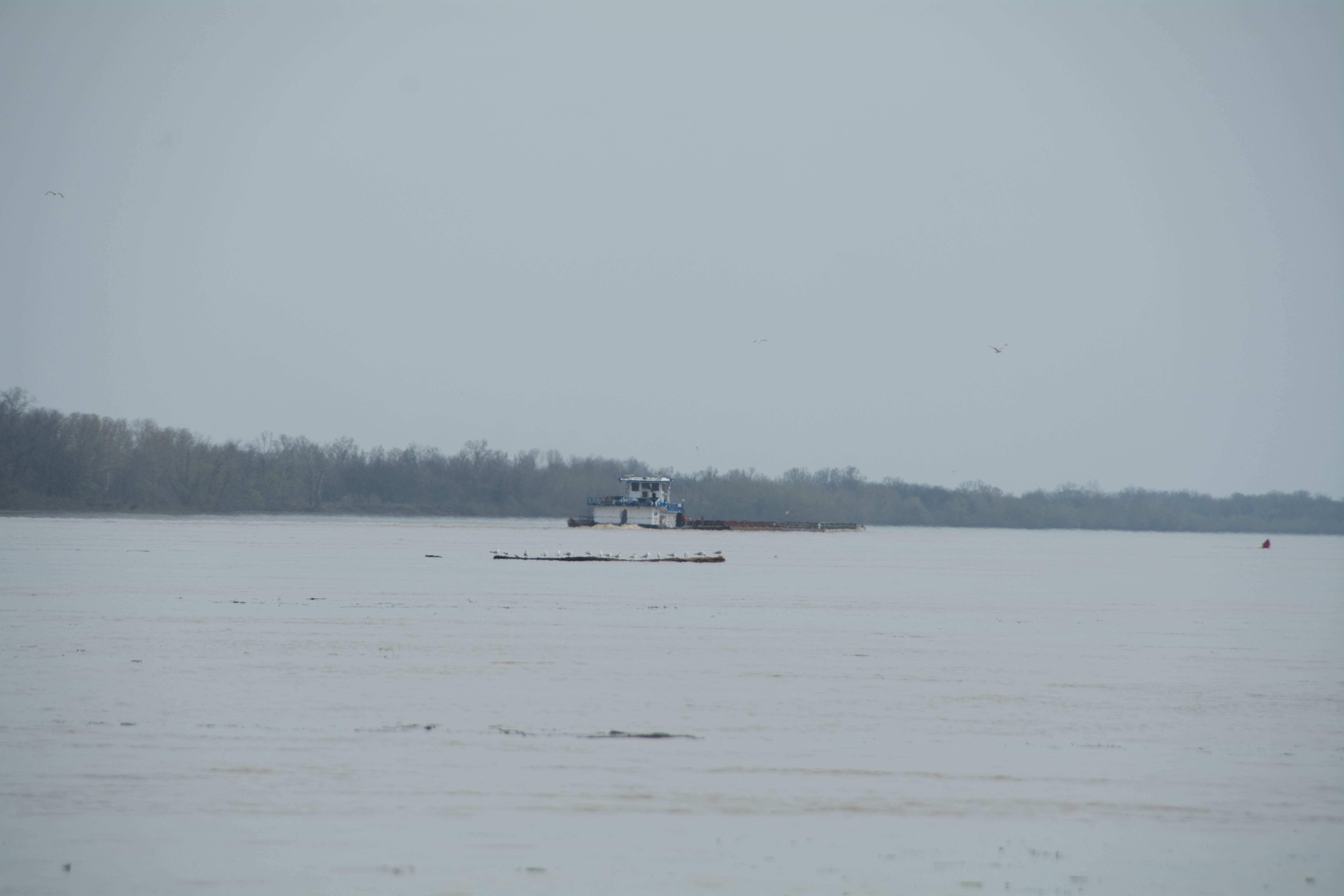
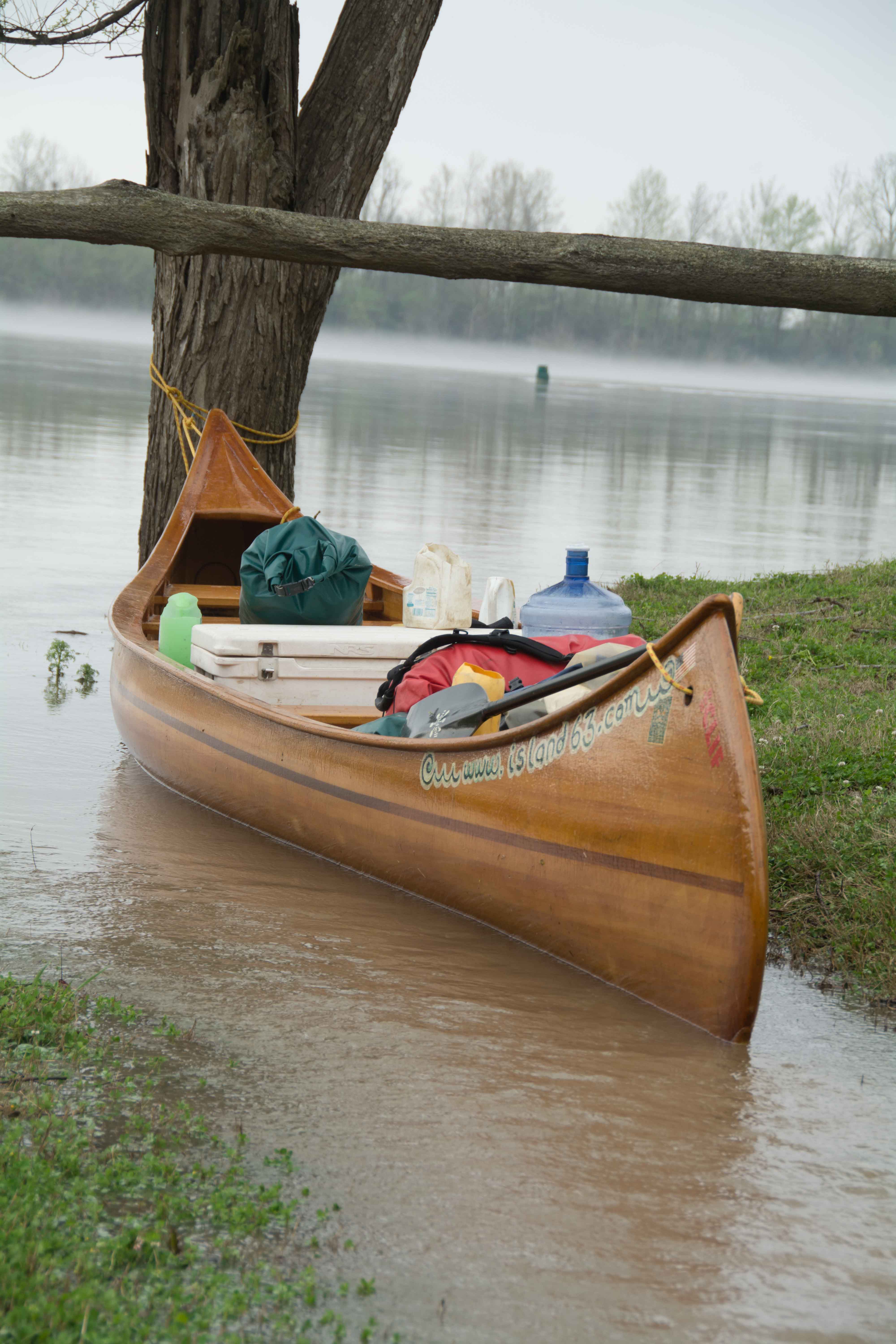
Between miles 13 and 20 the river meanders through four tight bends of the river around four points. Tow pilots call these “the squiggles.” For tow pilots pushing a heavy load it requires a good bit of maneuvering to get safely through the squiggles, especially in high water. Give tows extra room when paddling through. The water can flow strong, with giant eddies reaching outwards off of each point, forcing the water into focused tongues. These tongues of water are the fastest water on the river, and favored by tows and paddlers alike. You’ll have to yield right-of-way to tows, of course. But a fun and elegant paddler’s move, is to do a sashay right or left into the eddy. Spin around in the eddy while the tow plows on through the tight place. You might as well kick back, take a deep breath, enjoy the scenery, have a snack, take a good swig of water, maybe even jump in for a swim. This is what river life is all about! Once the tow passes, dig your paddle in and cut back into the fast water (at an upstream angle is usually best), swing around and continue on your merry way!
The squiggles also create the best area for camping so far seen on the Atchafalaya. Excellent picnicking, swim stops, and stretch your leg places also. If it is that time of day, look for a campsite here. There is one beautiful dune after another, on both sides of the river. We’ll describe the best ones below. At low water there are a dozen possible dunes to stop on in the Squiggles. As the river rises, the choices diminish, at bank full you’ll find a small patch of dry sand at Lone Tree Point, but otherwise it will be camping on grass, or in the trees. The floodplain broadens here, and the levee fall back as the river convulses back and forth. The enlarged batture means quieter landings and less chances for surprise visitors… just another advantage of the squiggles!
13.2 RBD Porcupine Point
A high bluff of sand with an inlet behind it is found at Lone Tree Point, making a beautiful campsite at all water levels, with good protection from winds or storms. There is a wetlands behind Porcupine Point, which becomes connected to the river around 30SG. Mark River reported on this location: “ We arrived at a high bluff full of green grass and decide this is the place for the evening. We quickly realize the deep green of the grass is from a herd of cows frequenting the area. We pay no mind, but marvel at the small runnel of water feeding the small pond filled with beautiful yellow rockets. The river is still on the rise and the rate of the water is increasing in the small stream. These small creeks play a huge role in the beginning of the spawn and the reproduction of reptiles, amphibians and mammals. The small pond will be full of frog eggs, which is a treat for spawning fish fattening up for the spring reproduction. They provide plentiful water supply for young mammals. The morning came quickly as I was serenaded by frogs and the sound of turkeys. I’ve never heard turkeys call at night, and I figured some local was practicing his call. I paid no mind and slept like a newborn. The stream had increased its velocity and fish were starting to enter the small pond that turned to a lake. The canoe was tied in the stream and a spotted gar used the canoe to take a break from the current. Gail, one of our teammates, lunged out to successfully catch it. We admired its beautiful pattern of spots and released it unharmed. I take a walk to explore the terrain and noticed a unusual hump on a exposed tree branch. Looking closer, I realize, it’s a tree frog. After further research, I learned it was a Mexican Tree Frog. Usually this frog ranges throughout the southwest states, but to see it in northern Louisiana could bring up the argument about global warming.” (Mark River)
From John Ruskey Journals Tuesday, March 17, 2015: “I am on a red-cliff cutbank with a five foot drop into the river. Some of it is collapsing, but the red sand/mud layering seems to be more stable than the black/grey/sand layering of the Mississippi, a steady water roaring white noise feature created by an offshore buoy fills the ambient sonic environment completely overpowering all other sound sources including sporadic highway traffic (over the levee), bird’s songs, and the chorus of frogs behind camp in the slough. The slough in the middle of our camp is filling up faster and faster as the river rises. The thinnest sliver of moon is visible pre-dawn, the last night of the old moon, the 28-day cycle of the new, old and none, the never-ending circle of birth and death and rebirth, the story of life forever revolving over our heads and reminding those who pause, look, and take a moment to reflect in the beautiful recurring pattern of it all and our own lonely lives exemplified in the heavens. Turbulent waters roaring underneath the Simmesport Railroad Swing Bridge, a large dune of sand bank left below, the only sand seen in the first fifteen miles of the Atchafalaya.”


Leave A Comment
You must be logged in to post a comment.