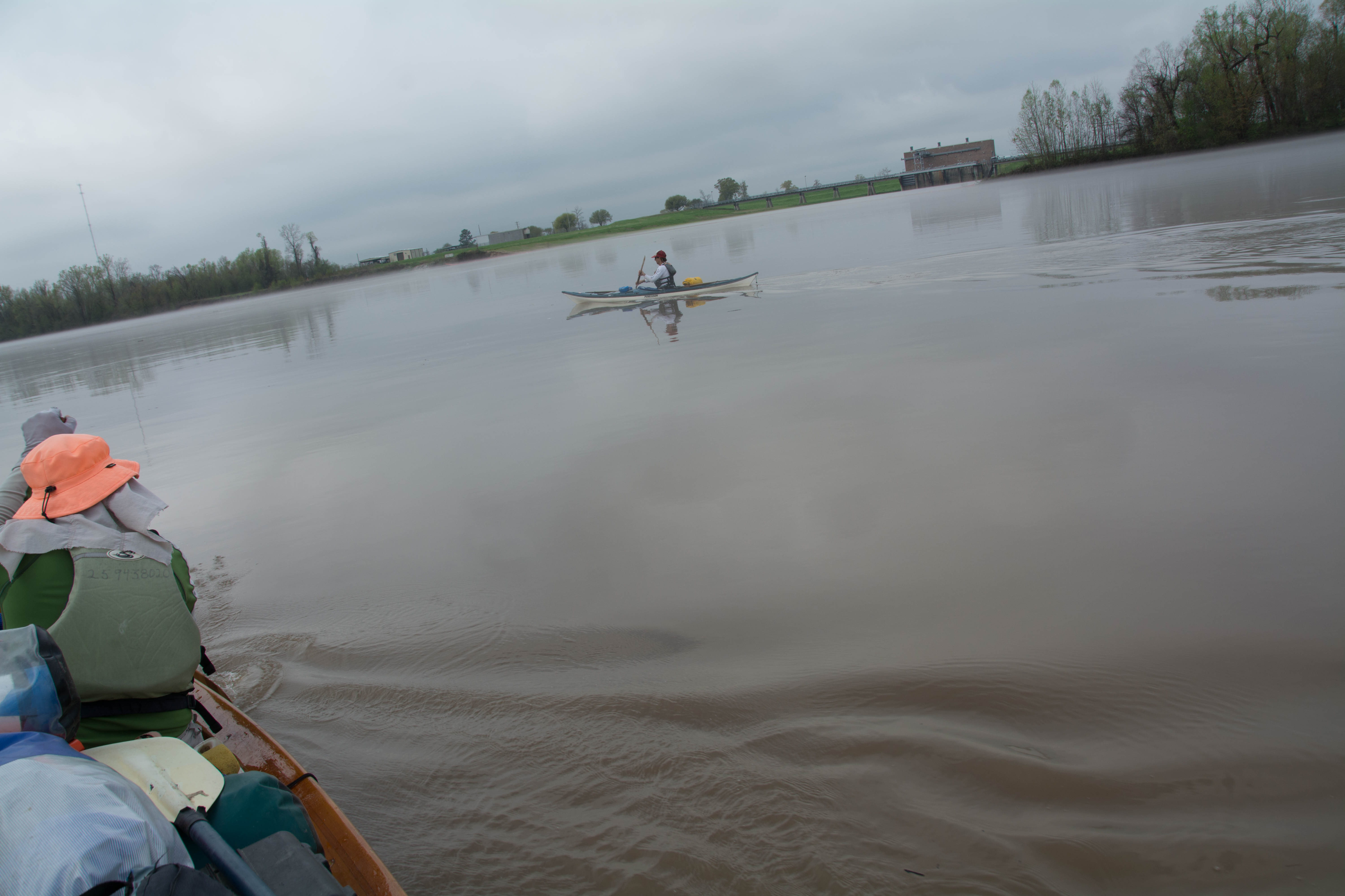
The Lower Mississippi River Water Trail
Switching to the KROTZ SPRINGS GAGE (KG)
Now that we are entering Krotz Springs, the Rivergator will now switch to the Krotz Springs Gage which can be found online at:
http://water.weather.gov/ahps2/hydrograph.php?wfo=lch&gage=krzl1&prob_type=stage&source=hydrograph
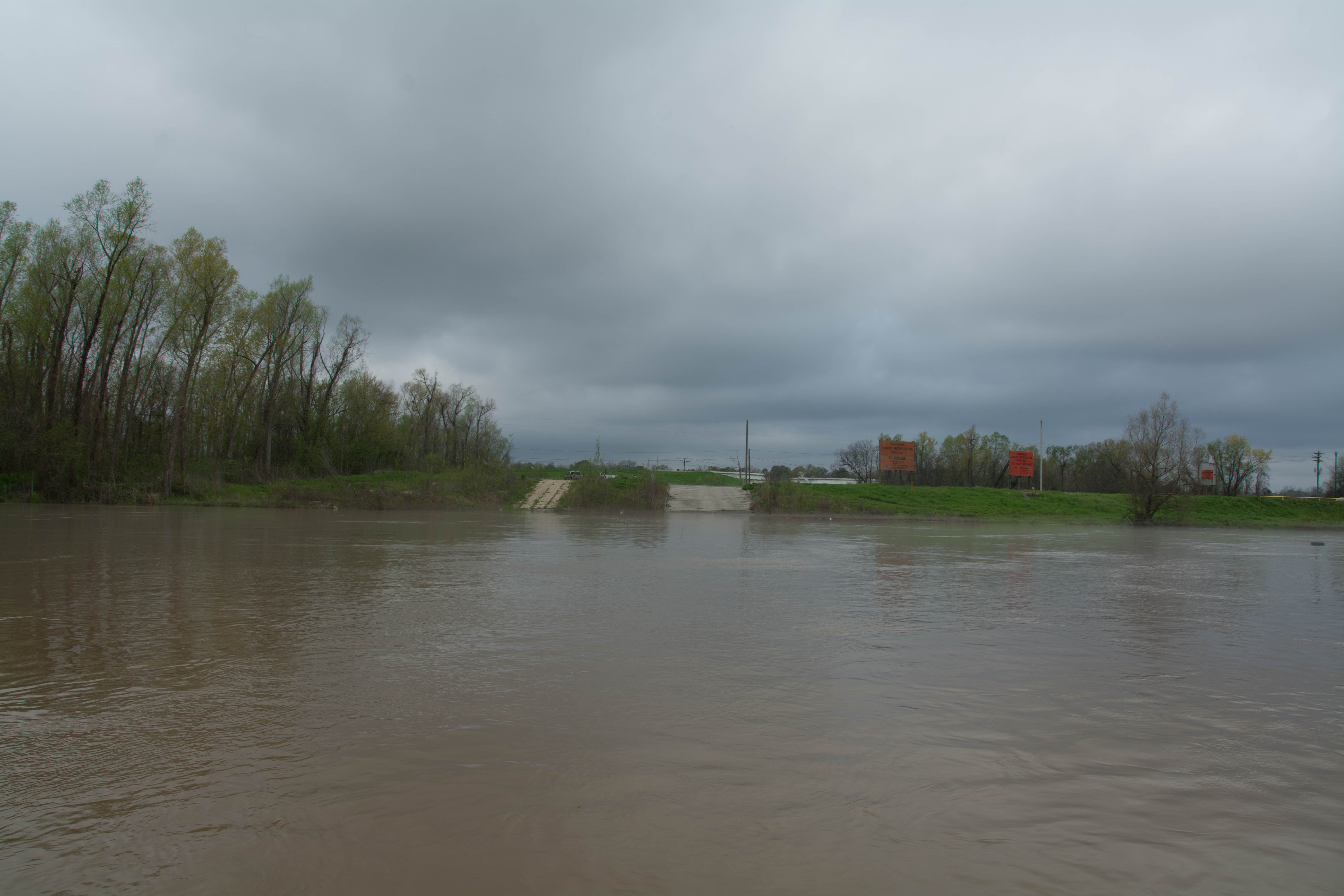
Reading the Krotz Springs Gage with the following divisions for low water, medium water and high water will yield a fairly accurate picture of how much sand will be showing at different locations, which campsites and parks are still above water, and which landings are still usable for vehicles. Remember what you see on Google Earth might be vastly different than the actual water level and conditions of the sandbars and islands, and other places of importance to paddlers.
Water levels according to the Krotz Springs Gage
Low Water = 0 to 8 KG
Medium Water = 8 to 20 KG
High Water = 20 to 28 KG
Bank Full = 24 KG
Flood Stage = 28 KG and above
(KG = Krotz Springs Gage)
Flood Stage Warning: above 28 KG paddlers are advised to stay off the river. Limited access. Most landings and approach roads will be underwater. Most islands will be gone. No easy camping. All sandbars will be covered. Fast waters with many hazards. All islands and landings will be surrounded by flooded forests full of snags, strainers, sawyers and all other dangerous conditions associated with floodwater moving through trees. Docks, wharves, dikes and any other man-made objects will create strong whirlpools, violent boils, and fast eddies. Towboats will create large waves. The Rivergator will not describe the river and its islands at any levels above flood stage.
38.5 – 42.7 Krotz Springs Utility Crossings
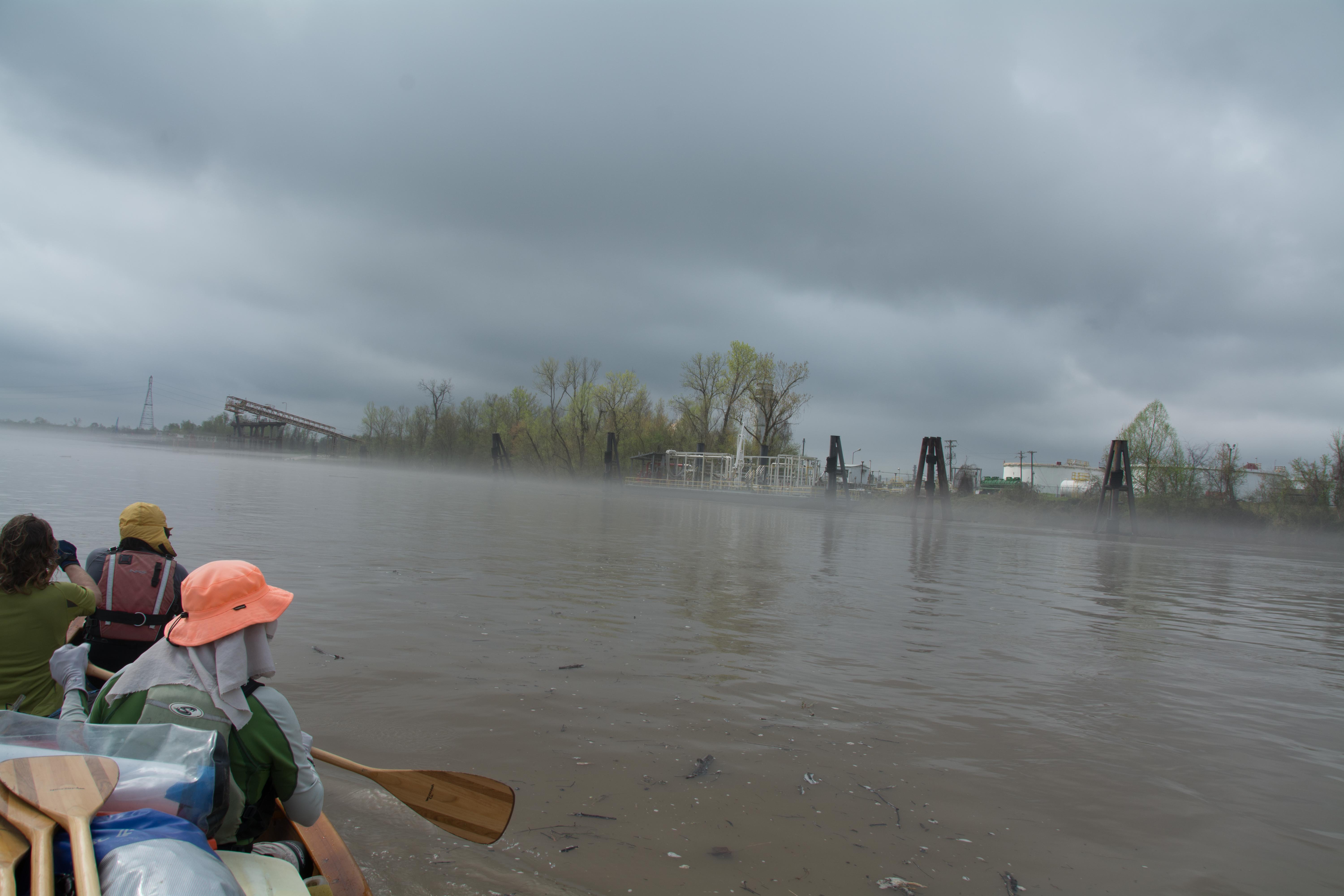
Krotz Springs is a crossroads of sorts for the petroleum industry. There are 25 petroleum pipelines going under the river in the Krotz Springs area and 3 going over the river in aerial crossings, from an ammonia pipeline laid by Koch Gateway Pipeline, to 5 gas pipelines laid Texas Eastern Gas Transmission Company. Others include Texas Oil Pipeline Co, Bridgeline Gas Distribution Co, Conoco, Evangeline Products System, Equiloin Pipeline Co, Caynese Pipeline, Interestate Central Gas Co, Exxon Pipeline Co, Gulf State Utility Co and Cypress Gas Pipeline Co. South Central Bell has also buried one of its telephone cables under the river here. Many of these pipelines continue on to Chemical Corridor on the Mississippi River for use there, and many continue on right underneath the mighty Mississippi bound for markets further east in Alabama, Georgia and Florida, and on up the East Coast to Washington DC and New York City.
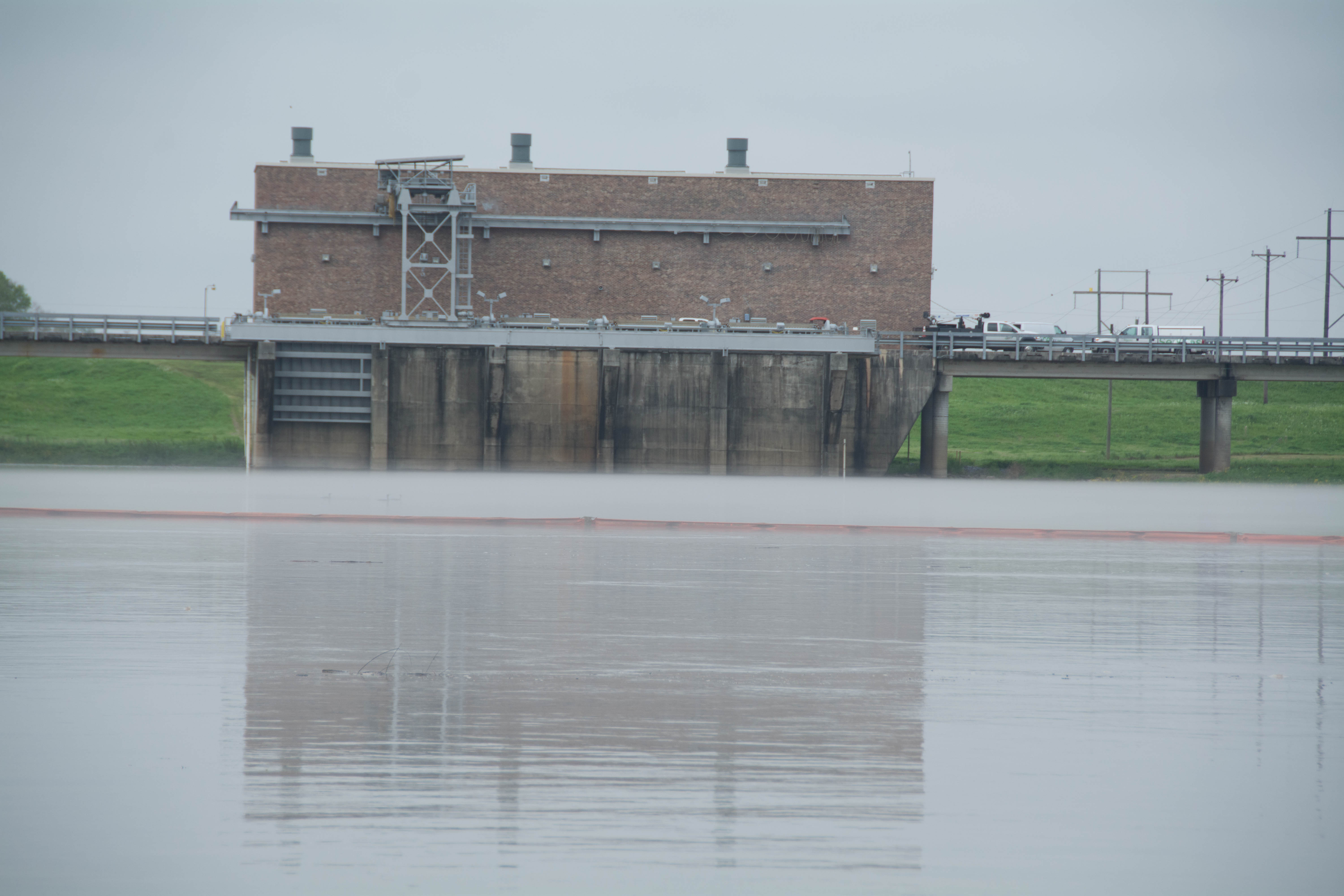
39.3 Water Drainage Structure: Origins of the Teche River
You will paddle past an open bay leading to a water drainage structure sunk into the levee. This pumping station carries water off the Atchafalaya over to Bayou Courtableau which in turn feeds the Teche. In recent years it has delivered up to 10,000 cfs to help keep the Teche River healthy. Canoeists and kayakers paddling down the Atchafalaya will see both ends of the Teche, first here at its origins, and then much further downstream, near its present day end place at Morgan City.
39.5 RBD Cell Tower
A cell tower is located over the levee and south of drainage structure.
39.6 LBD High Sand Dune
A high sand dune forms here opposite and little downstream of the Bayou Courtableau drainage structure that would make for good highwater camping, up to 30 KG.
40.3 RBD Gravel Landing
A wide gravel landing is found West Bank just above the aerial crossing, which looks like it must be the remnants of some industrial project (?) Not recommended for landings or camping, except in emergency. Keep on downstream to Krotz Springs Public Boat Ramp for access to town.
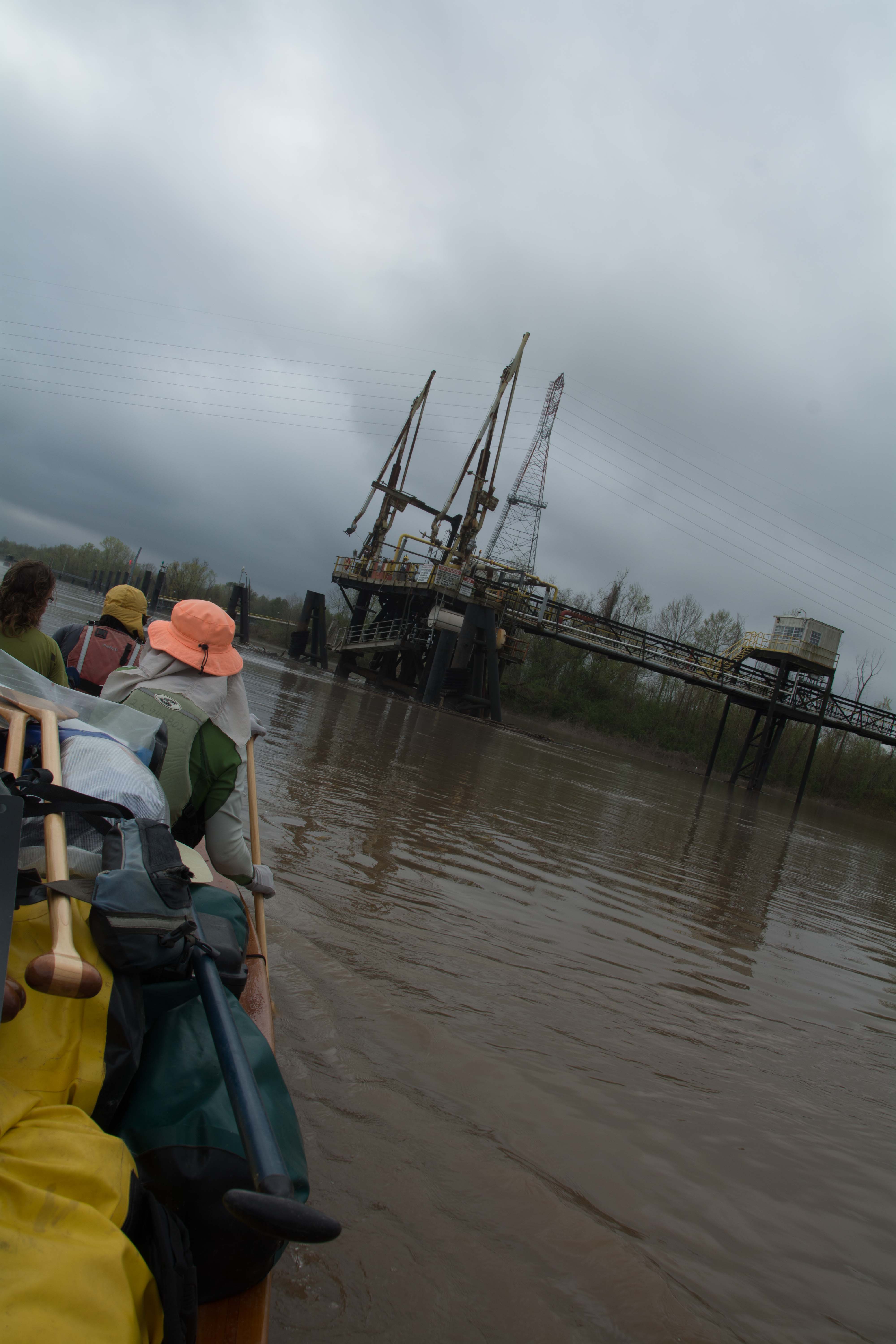
40.3 Wire Suspension Bridge for Pipeline
The river carries paddlers under a wire suspension bridge at mile 40.3
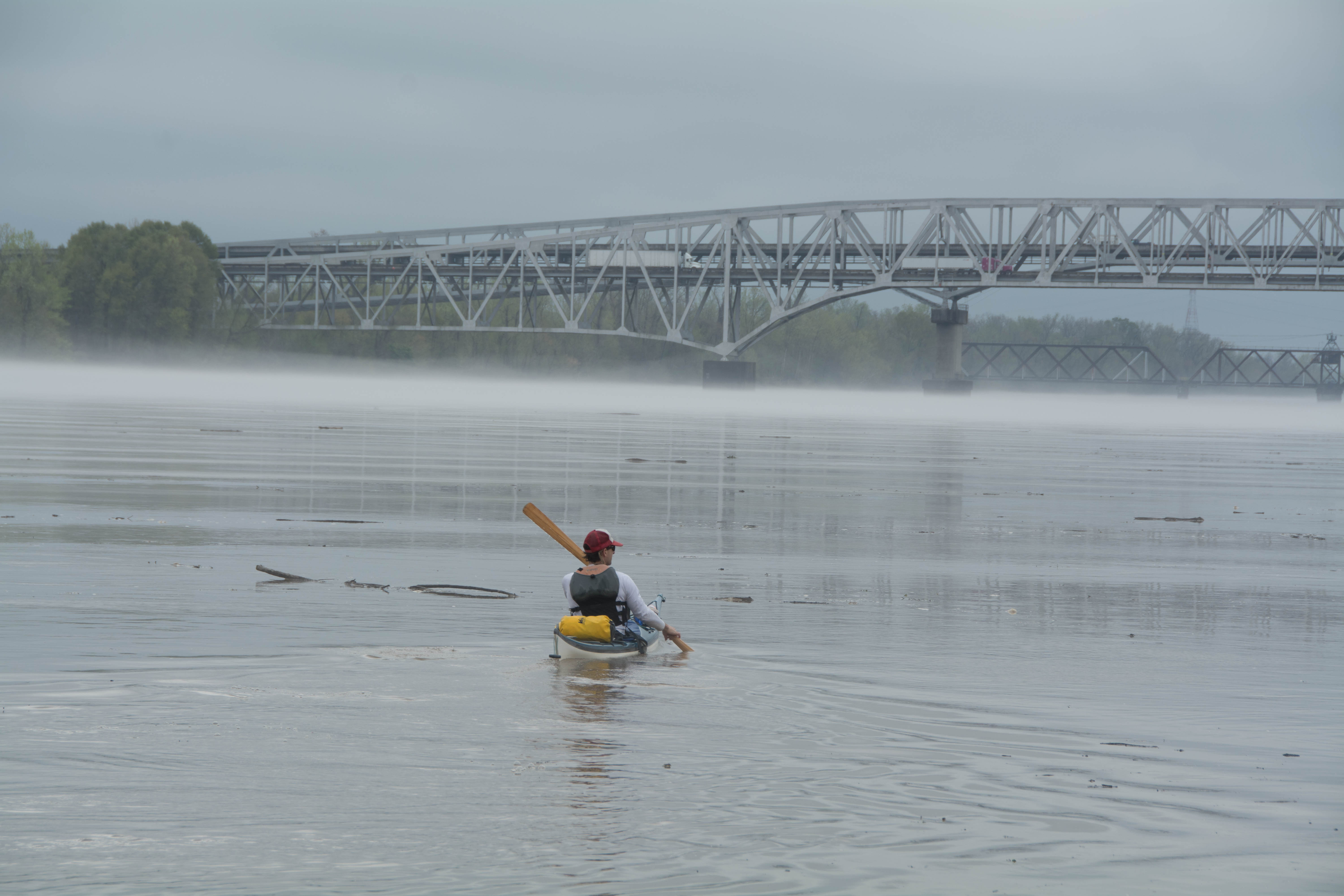
41 Krotz Springs US Hwy 190 and 71 (2 Bridges)
Two highway bridges cross the Atchafalaya River at Krotz Springs, US Hwy 190 and 71, one carrying tow lanes of eastbound traffic, the other 2 lanes westbound. These are dual cantilever bridges, and were built in 1973 and 1988 to replace the original 1933 truss bridge. The Historic American Engineering Record says that the lower bridge is a K-truss bridge and is one of six bridges of this truss type in Louisiana. The K-truss type is virtually non-existent outside of the state of Louisiana.
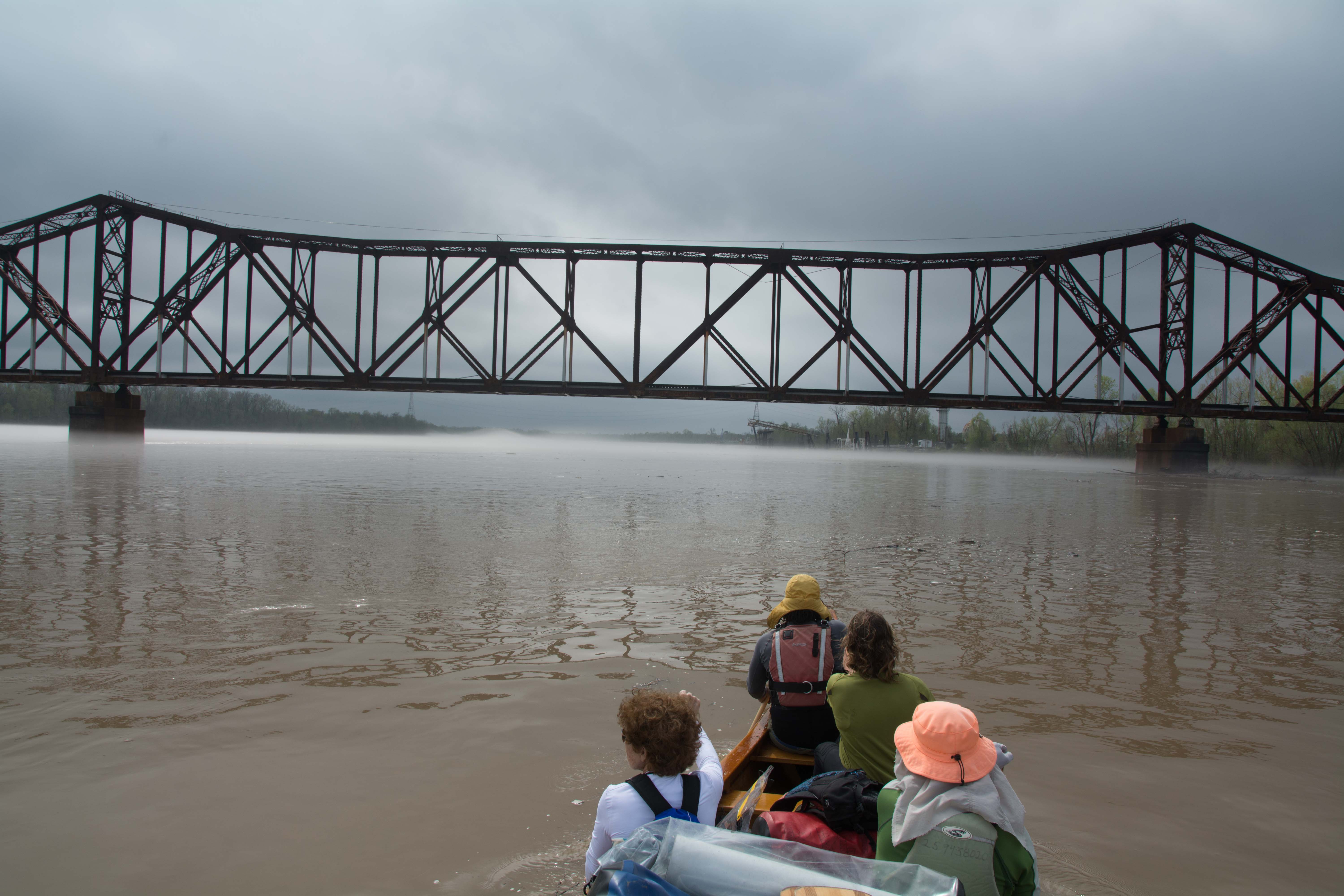
41.5 Krotz Springs Union Pacific Railroad Bridge
Towboats and other big boats have 475 feet of clearance to get underneath the two highway bridges US 190 and US 71, but when they get to the railroad bridge, it’s a different story altogether. Here the elbow room distance is quartered. There are two narrow openings for navigation under the railroad bridge, both are about 130 feet wide, which isn’t much for a towboat 2 barges wide, or 60 feet. The steady handed pilots must have to hit this opening in a straight on run with no angle, and no sideways motion in the water. This is a truss through bridge.
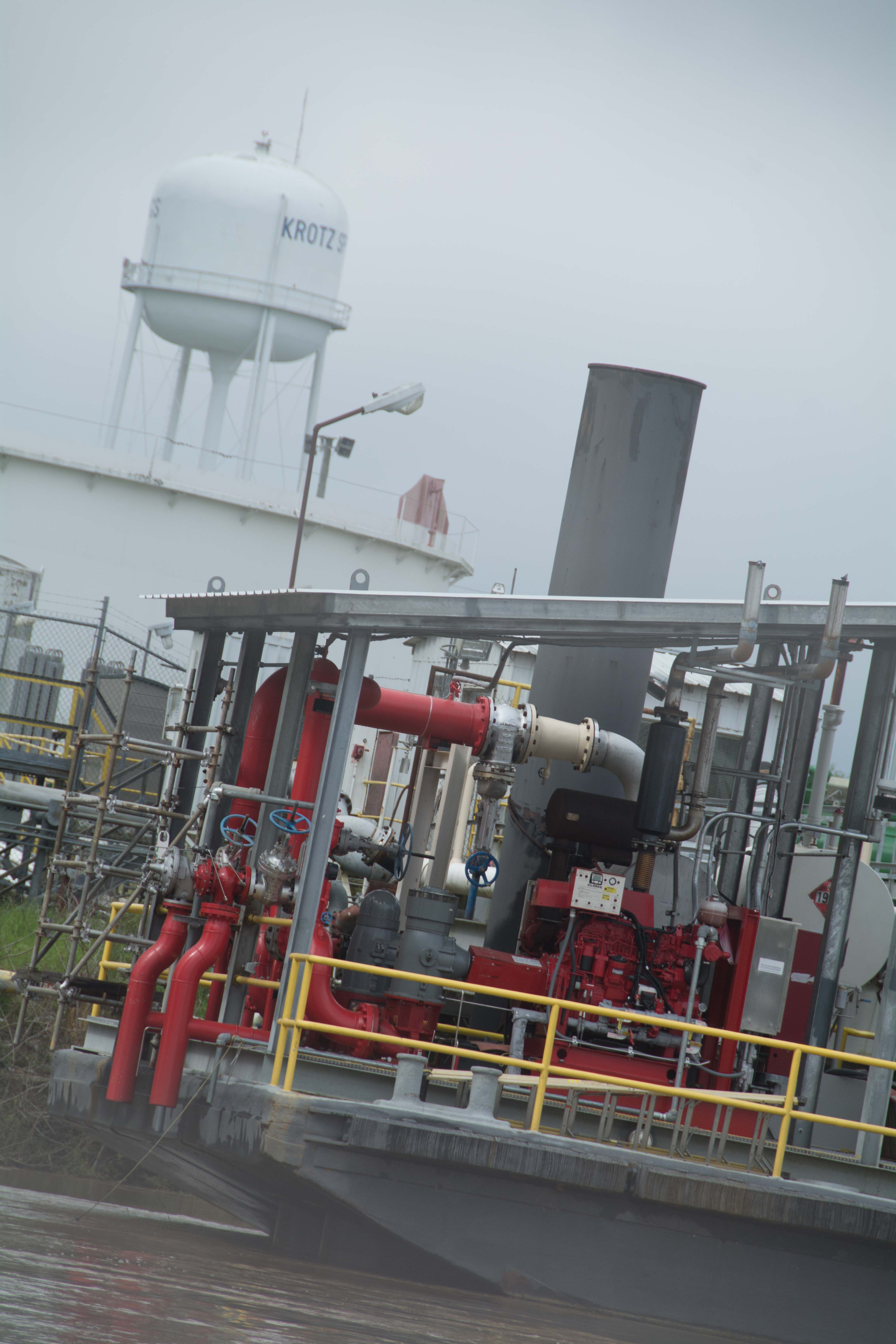
42.3 RBD Krotz Springs Boat Ramp
Dual lane concrete ramp dropping into river from parking lot within the oil tanks and refineries of the industrious port of Krotz Springs. Old ramp made out of revetment, new ramp double wide smooth concrete with rough finish for traction. Camping not recommended here. Possibly resupply place for water, ice, groceries, and refreshments. Don’t leave vessel unattended. Hide valuables. No easy camping anywhere within the town of Krotz Springs. Keep going two miles downstream to Frank Diesl Point (44.5 RBD) or eight miles downstream to Coswell Point (49.7 LBD).


Leave A Comment
You must be logged in to post a comment.