The Lower Mississippi River Water Trail
A series of underwater weirs have been installed along the Vaucluse Bendway to slow down the fast waters through this section and allow upstream tows and easier passage, at the same time provide more room for the downstream tows to position themselves for safe passage under the bridge. As such it always best at this bend to hug the left bank descending around Island 84, both for the fast water and to avoid upstream tows. If you are making landing at Sunnyside, stay mid channel as long as you can and then ferry across to Sunnyside RBD 531.5.
LBD 529-525.5 Lakeport Towhead/American Bar
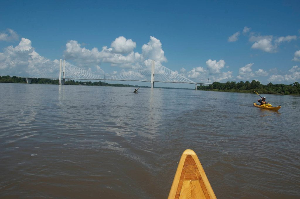
After sliding through the narrows past Sunnyside and underneath the monumental wonders of the new Greenville Bridge the downstream will be flushed vigorously outwards into the center of the mile wide main channel not far below. You will paddle over eleven major transcontinental petroleum pipelines, attesting to the importance of this location to commerce. The channel here opens up like a flower steadily increasing in width until it is almost three miles wide in high water at the top of Lakeport Towhead/American Bar. Here you will find your first best camping options below Greenville. A tall forested ridge runs along the main channel with endless campsite possibilities at all water levels. During high water you are more limited but you can get closer to the trees for shade and wind protection. During low water the top end sandbar extends two miles upstream from the trees and becomes a wonderland for birding and beach-combing. Several wreckages the result of the dangerous old Greenville Bridge have washed up here. One of particular note is a wooden barge with hand-forged nails that has been visible for years at low water. The entire island disappears at flood stage.
LBD 525 American Cutoff/Lake Lee
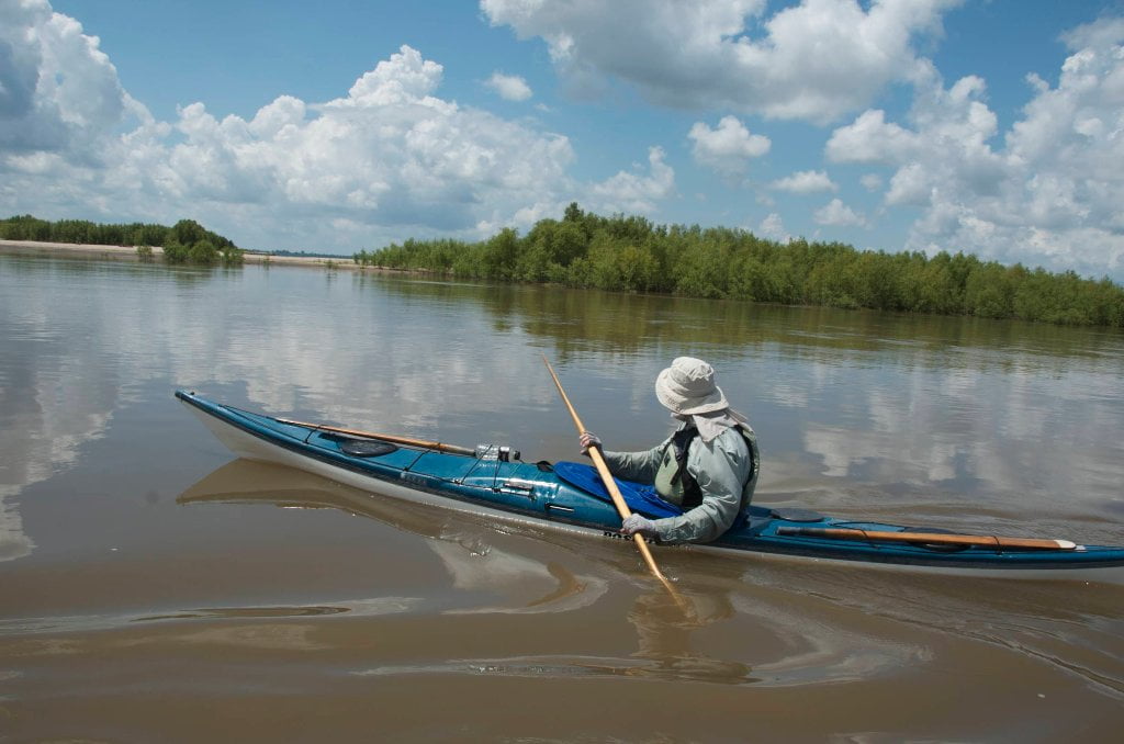
Viewed from the sky American Bar has the shape of a mallard’s head with the beak pointing downstream. At medium water levels (above 30GG) you can follow the American Cutoff and paddle behind Lakeport Towhead/American Bar. The Mississippi River broke through a meander of the river here during the great flood of 1858 and created Lake Lee. One of the first steamboats to push through the new channel was Captain Bixby’s Paul Jones under whom the young Mark Twain was serving as cub pilot (as narrated in the classic 1883 Life on the Mississippi). If the river is higher than 30 on the Greenville Gauge you can slide behind Lakeport Towhead and through the American Cutoff. Slow flow at medium water, good flow (maybe 3mph) at high water. If the river is 40 or above you can follow a narrow back channel from the bottom of American Cutoff which dives through the forest at RBD 525 above the first of the Walnut Point Dikes. This delightful channel meanders through tattered forests (that look like they’ve bee recently logged or thinned) for some respite from the wind, the sun, and the loneliness of the long distance channel. A mile down this chute, which we’ll call the Walnut Point Chute since it cuts behind Walnut Point, the route splits again into two equally sized channels, one running due east and the other due south. This is the entrance to the Lee Lake Pass. The water here could be flowing either direction


Leave A Comment
You must be logged in to post a comment.