The Lower Mississippi River Water Trail

A sandboil is created when flood water seeps under the base of a levee through sand in the levee foundation. If the pressure of the seep water is high enough, the sand within the levee foundation can be eroded out, causing the overlying levee to collapse. Boils occur all along the levee system in major floods. They are usually brought under control by ringing them with sandbags, to a height that equalizes the pressure and reduces the flow of water through them.


There was a large sandboil at Vaucluse in 1922, and in the flood of 1929 a sandboil in the same area built up a crater of sand that was about 15 feet wide across the top. It was brought under control, and the levee held. In the flood of 1973, there were boils in the Vaucluse area again, but again they were brought under control.


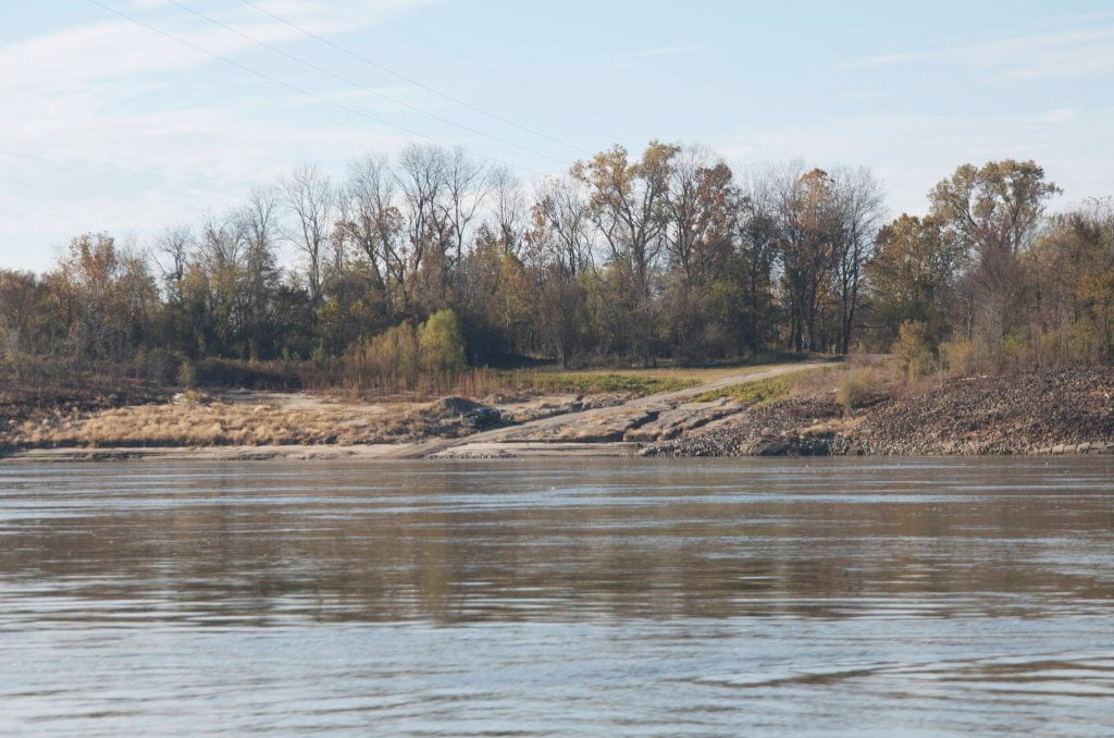
RBD 531.5 Sunnyside Landing


Sunnyside is a public boat ramp built from broken concrete and tattered revetment which drops into the river at the edge of a large eddy.  Paddlers needing access be ready for fast waters and a strong rip-eddy with large boils and small whirlpools.  Land access is from US 82, turn north on the first paved road in Arkansas, and then bear right at the fork onto the gravel road over the levee.  Continue on gravel then turn left at river’s edge for parking and access.  Closest Landing to Lake Village Arkansas, which sits on the shores of Lake Chicot seven miles to the west.


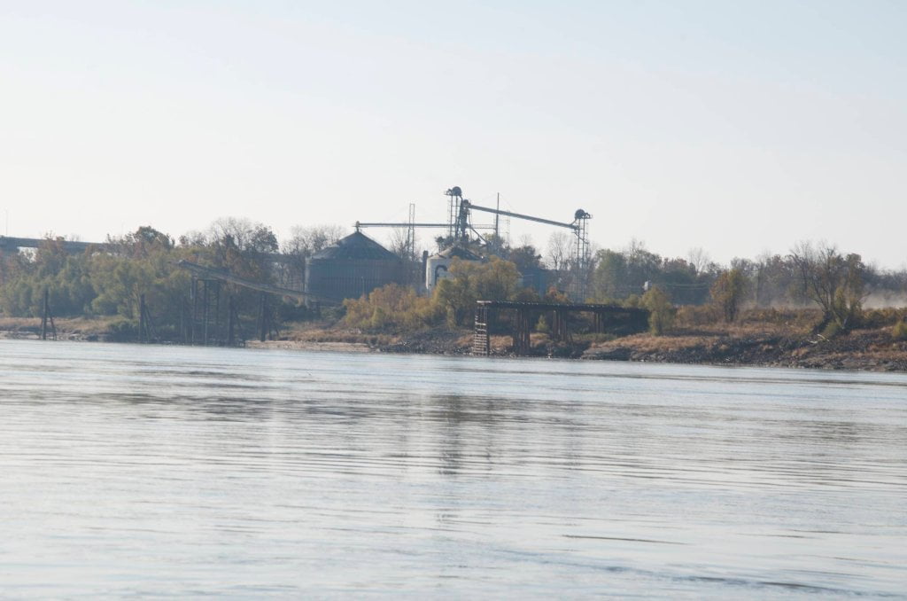
530.7 Greenville Bridge


The Greenville Bridge is the only bridge in the 200 miles of river between Helena and Vicksburg.  This striking new concrete & steel cable-stay bridge was completed in 2010 after 19 years of planning and construction.  At the time of its opening, it was the longest cable-stayed bridge over the Mississippi, and the fourth longest in North America.  The old Greenville Bridge was the most dangerous bridge on the Lower Mississippi, and long enjoyed the status of being hit by more tows than any other bridge in the vast Mississippi drainage.  The bridge seemed to invite disaster.  There is said to be $1 million of lead buried under the bridge in the mud from a towboat wreck.  In the 1950s it was struck from the air by an Air Force plane.  The old bridge has been removed as a hazard to navigation and recycled.  It has been removed for good reasons, but I still miss the old bridge.  It was always a thrill driving across the river on its narrow roadway and feeling it sway a little with the weight of big trucks.  It had more feel than the new bridge, and the views of the river were the best you could get outside of paddling a canoe or flying in an airplane.  The new bridge is beautiful, monumentally so.  But you can’t see the river over its tall solid concrete side rails.  And that’s too bad.  That’s the one experience of the river most Americans have — is driving over the river.  Now you can’t even see the river here.


Paddlers can enjoy the sensation of floating under this monolithic structure while trucks and other traffic zoom overhead on US Hwy 82 connecting Texarkana with Birmingham.  

Leave A Comment

SECTION MILE ACCESS CITY
Middle Mississippi & Bluegrass Hills / Bootheel 195-0, 954-850 ST. LOUIS TO CARUTHERSVILLE
Chickasaw Bluffs 850 – 737 CARUTHERSVILLE TO MEMPHIS
Upper Delta 737 – 663 MEMPHIS TO HELENA
Middle Delta 663 – 537 HELENA TO GREENVILLE
Lower Delta 537 – 437 GREENVILLE TO VICKSBURG
Introduction  
Greenville to Lake Providence
Greenville, Mississippi  
Greenville Accomodations and Restaurants  
Greenville Blues Festivals  
Greenville Boat Ramp  
Greenville Harbor  
537 LBD Warfield Point Park
537 LBD Old Warfield Point Boat Ramp
537 LBD New Warfield Point Boat Ramp
534 LBD Vaucluse Landing
531.5 RBD Sunny Side Landing
530.7 LBD Greenville Bridge
529 – 525.5 LBD Lakeport Towhead / American Bar
525 LBD American Cut-Off / Lake Lee
Lake Lee Public Boat Ramp  
Options for Paddlers Below Greenville Bridge Near American Bar and Lake Lee  
Lake Washington  
523 – 520 RBD Island 68
519 – 515 RBD Kentucky Bend
515 – 512 LBD Leota Bar / Cracraft Chute
514 – 512 RBD Worthington Cutoff, Matthews Bend, Grand Lake, Island 88
512 RBD (And Up Back Channel) Grand Lake Landing Boat Ramp
510 – 506 RBD Cracraft Bar
Paddler’s Choices Through Cracraft Chute & Sarah’s Cutoff  
Entering Louisiana  
503.5 RBD Bunch’s Cutoff
503 RBD Chute of Old River Lake
505 – 502 LBD Corregidor Bar
500 – 495 RBD Wilson Point Bar
496 LBD Tennis Court Landing
Vicksburg Gage  
Water Levels and Dikes  
494 – 487 LBD Baleshead / Stack Island / Ben Lamond
Two Stack Islands?  
Lake Providence  
Lake Providence Landings  
Paddler’s Choices in the Mayersville – Lake Providence Area  
487 – 481 LBD Shipland Wildlife Management Area
Lake Providence to Vicksburg
Vicksburg Gage  
Water Levels and Dikes  
Lake Providence  
Lake Providence Landing  
Paddler’s Choices in the Mayersville – Lake Providence Area  
487 – 481 LBD Shipland Wildlife Management Area
480 – 474 Fitler Bend
471 – 465 Arcadia Point Bar / Cottonwood Bar
Paddler’s Routes Arcadia Point Bar / Cottonwood Bar  
462 – 459 RBD Willow Island
461 LBD Chotard Lake Terrapin Neck Cutoff
Laney’s Landing  
459 LBD 2010 F-4 Tallulah – Yazoo Tornado
458.8 LBD Eagle Lake Pass
458 LBD Tara Landing
457 RBD Madison Parish Port and Public Boat Launch
Bluz Cruz Kayak and Canoe Race  
Willow Island, Chotard Lake, and Eagle Lake: Paddler’s Routes  
458 – 449 Milliken Bend
449 – 445 RBD Sparta Island
449 – 445 RBD Marshall Cutoff
446.5 LBD Paw Paw Chute
The “Heart of the Darkness” Tour  
Around Paw Paw to Forest Home Chute  
Paw Paw to Vicksburg Via the Yazoo  
Steele Bayou Control Structure  
What Are the Paw Paws  
Paw Paw Chute / Sparta / Brown’s Point: Paddler’s Routes  
445 – 442 Brown’s Point
444 Brown’s Point Fault Line
441 – 438.5 RBD Delta Point Bar
Habitat Restoration on the Lower Miss  
438 RBD King’s Point / Secret Entrance Into Lake Centennia
437.7 LBD Mouth of the Yazoo River
Vicksburg  
Vicksburg Services and Accommodations  
Vicksburg Services, Accommodations, and Restaurants  
Looking Downstream  
Loess Bluffs 437 – 225 VICKSBURG TO BATON ROUGE
Atchafalaya River 159 – 0 SIMMESPORT TO MORGAN CITY
Louisiana Delta 229 – 10 BATON ROUGE TO VENICE
Birdsfoot Delta 10 – 0 VENICE TO GULF OF MEXICO