The Lower Mississippi River Water Trail
15 VG – rocks still exposed on all dikes
16-17 VG dikes starting to go under, some flow through breaks & low spots
18 VG dikes completely under, but little flow
20-25 VG good flow and lots of boils & turbulence
25 VG strong flow, some turbulence, no dikes exposed anywhere
35 VG river bank full
>48 VG Flood Stage.
Warning: above 43 VG paddlers are advised to stay off the river. Limited access. Most landings and approach roads will be underwater. Most islands will be gone. No easy camping. All sandbars will be covered. Fast waters with many hazards. All islands and landings will be surrounded by flooded forests full of snags, strainers, sawyers and all other dangerous conditions associated with floodwater moving through trees. Docks, wharves, dikes and any other man-made objects will create strong whirlpools, violent boils, and fast eddies. Towboats will create large waves. The Rivergator will not describe the river and its islands at any levels above flood stage.
LBD 494-487 Baleshead/Stack Island/Ben Lamond
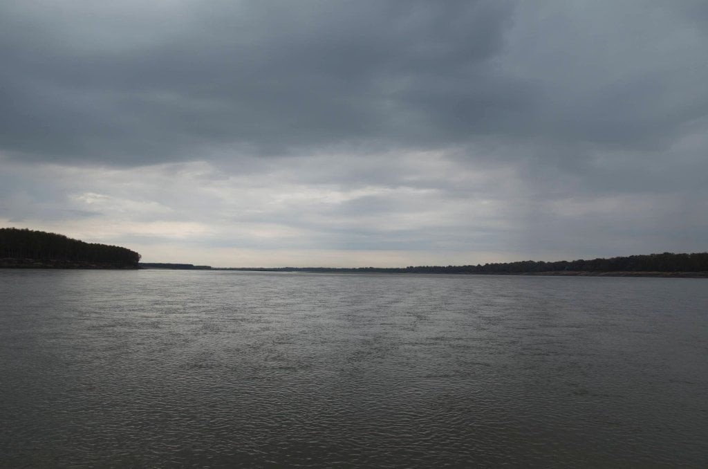
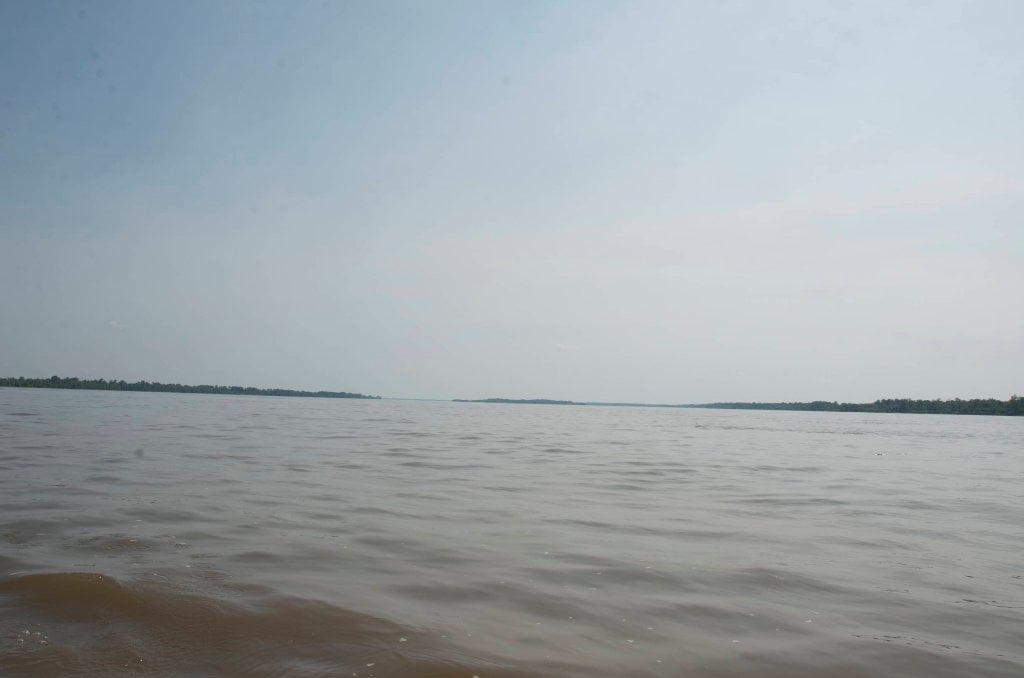
The river opens up below Mayersville and Wilson Point Island into a virtual ocean of open water and hypnotic distances that seem to shrink even the biggest tow/barge packages into flea-sized morsels. Distances are difficult to calculate here. As you paddle downstream with the main channel it easy to get mesmerized by the waves, the colors in the water, and the endless lines of trees and the sky that meets them. Distant towboats appear from out of the treeline and seem to take forever to approach and then pass. Trees and island forms take shape and then seem to rearrange themselves as you paddle along and then reappear as different shapes. It’s a similar experience to paddling on any big waters.
In high water yawning wide back channel opens up behind the top end of Baleshead LBD 491 or 492. Unless you are planning on cutting behind the “right bank” Stack Island further downstream (RBD 489) for entrance into the Lake Providence Harbor, you can wander behind Baleshead and the “left bank” Stack Island and enjoy the pleasure of back channel paddling for many miles free of any towboats or buoys. You might want to avoid the back channel in medium water levels when the river speed slows down and you need to watch out for cascading water over the dikes. At low water there is no option but stay main channel and follow the current outwards around the entire conglomeration of tall islands, desert-sized sandbars and clumps of willows in between. You can camp anywhere along the way at low water, but at high water your options are narrowed to the top end of “left bank” of Stack Island, and a few small sandy locations at the tops of the other islands. Towards flood stage all sand disappears except for the highest ground on “left bank” Stack Island.

Leave A Comment
You must be logged in to post a comment.