The Lower Mississippi River Water Trail
RBD 514-512 Worthington Cutoff, Matthews Bend, Grand Lake, Island 88
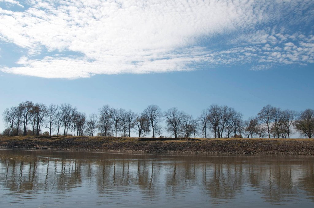
The river concentrates around the bottom end of Kentucky Bend and slams directly into the Arkansas shoreline opposite with such force that it tore up all the fields and almost busted the levee in 1997 and in 2011, and a series of blue holes were formed around the edge of Matthews Bend and over the fields towards Grand Lake. It seems like it was trying to break through the levee and regain the disconnected lake. Matthews Bend/Grand Lake opens up off the main channel RBD 513 inhabiting what remains of the Old Matthews Bend, with a public boat launch one mile off the main channel. Matthews Bend/Grand Lake is worthy of exploration for any adventuresome paddlers ready to get off the main channel. Depending on river level the lake extends far back into the woods and completes the turn around old Matthews Bend, which was cut off in 1933. At low and medium waters this area is dead water due to a low road built part way up the back channel. But at higher water levels, above 40GG the river starts pouring over the low road with noticeable flow. At higher water levels you could enter the top end of Matthews Bend behind Kentucky Island and swirl around the entire perimeter of Island 88 and bounce back out here at its base. Approximately ten miles from the top end of Kentucky Island.
From Historic Names: “Early travelers on the Lower Mississippi commented that geese, swans, ducks, pelicans, and sandhill cranes could be seen ‘by the millions’ around Island No. 88. This may have been an exaggeration, but Zadok Cramer complained in 1814 that he had spent a night on the island and had been unable to sleep because of the horrible clatter that the birds made all night long. A couple of Army engineers who mapped the area in 1821 were more impressed by the number of insects than by the birds. They called Island No. 88 Mosquito Island.
RBD 512 (and up back channel) Grand Lake landing Boat Ramp
Narrow public boat ramp laid over the muddy bank bottoms of Grand Lake into Matthew’s Bend. Composed of broken slabs of concrete and cramped parking. This rotted concrete ramp reaches Grand Lake even at the lowest of water levels, but you might not be able to always paddle from the Lake into the main channel of the river because of a shallows at river entrance.
RBD 510-506 Cracraft Bar
A series of sandy islands have formed around the Cracraft Lower Dikes affording beautiful campsites, picnic sites, and endless exploration at all water levels. At low water you must stay main channel of course, but you can canoe or kayak into any of the many inlets that cut into the four mile long mass of sand, mud and willows. Deep inlets form below the 2nd and 3rd dikes creating wonderful picnic spots with pools of deep water that clears out slightly as it comes to rest in these places. As the water rises so do the avenues for exploration, but beware of strong flows and possible waterfalls which form over the dikes in the back channel. Water starts flowing around 21-22 on the


Leave A Comment
You must be logged in to post a comment.