The Lower Mississippi River Water Trail
Mayersville is the proud seat of the least-populated county in Mississippi: Issaquena County, population 1406 (2010 US Census). At 441 square miles the resulting population density is 3 people per square mile. This is less than the population density of Wyoming, Montana or North Dakota! Interestingly 6.41% of Issaquena County is water (28.3 square miles) much of which is found in its giant oxbow lakes Chotard and Eagle Lake, but mostly is found in its portion of the Mighty Mississippi.
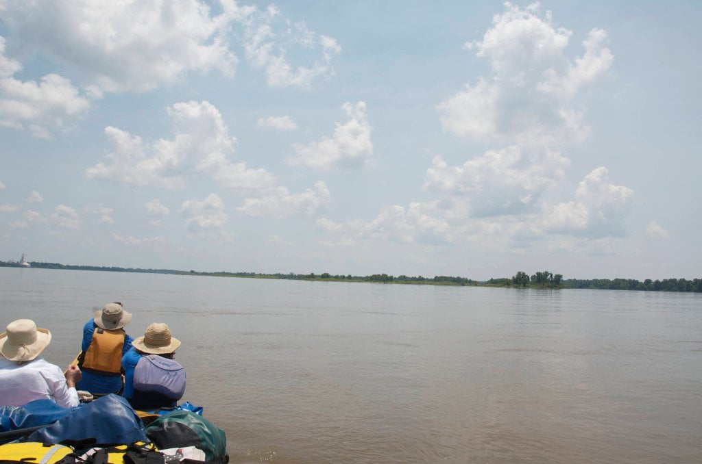
The Mayersville Tennis Court Landing is the only public boat launch on the East bank located right on the main channel of the Mississippi in the 100 miles in between Greenville and Vicksburg. West bank public landings are found at Sunnyside, and Goodrich (near Transylvania).
Vicksburg Gage
At this point in the Rivergator we’ll leave the Greenville gage and switch over to the Vicksburg gage, which is about 40 miles downstream. We’ll denote the Vicksburg gage as “VG.” For daily river levels and weekly forecasts, go to
http://www.srh.noaa.gov/lmrfc/?n=lmrfc-mississippiandohioriverforecast
Water levels according to the Vicksburg gage
Low Water = 0 to 20 VG
Medium Water = 20 to 33 VG
High Water = 33 to 43 VGVG
Flood Stage = 43 VG and above
VG = Vicksburg gage
Flood Stage Warning: above 48 VG paddlers are advised to stay off the river. Limited access. Most landings and approach roads will be underwater. Most islands will be gone. No easy camping. All sandbars will be covered. Fast waters with many hazards. All islands and landings will be surrounded by flooded forests full of snags, strainers, sawyers and all other dangerous conditions associated with floodwater moving through trees. Docks, wharves, dikes and any other man-made objects will create strong whirlpools, violent boils, and fast eddies. Towboats will create large waves. The Rivergator will not describe the river and its islands at any levels above flood stage.
Water Levels and Dikes
In the Vicksburg area you can use the following scale to gage water flowing over dikes, although some dikes vary in height. Also some have been “notched” in recent years as result there will be a middle notch that you can paddle through at much lower levels of water, some places down to 0 Vicksburg gage.
Using the Vicksburg gage:
5-14 VG water flowing through notches only


Leave A Comment
You must be logged in to post a comment.