The Lower Mississippi River Water Trail
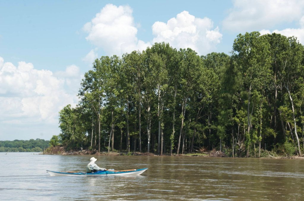
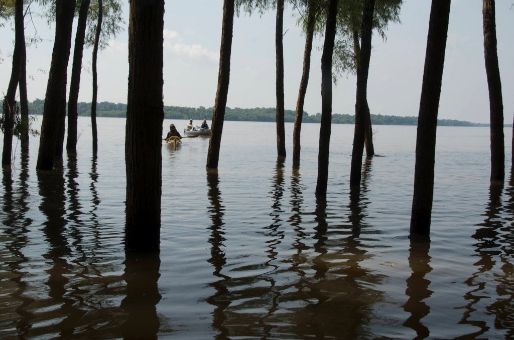
Kentucky Bend and Island area is very wild feeling with no sign of man’s follies anywhere in view. You will see the occasional towboat of course, and the island is popular with fishermen. But otherwise it’s nothing but you, the big trees, the sandy islands, and the big river. And the river feels very big around here, there are so many big islands and routes for the river to go it feels kind of like you have been washed into the gulf stream where it flows through the Bahaman archipelago. At low water you can find good spots almost anywhere along Kentucky Island. At medium water try the top half, or go back channel for more privacy. In high water levels, above 38 GG the only reliable camping will be found along the expansive sandy fields top end, which you’ll share with all the animals that have fled the forest and other parts of the island in the rising waters! Kentucky Island is fascinating at all water levels. In low water you will discover huge piles of logs amongst the tall dikes and dried out channels, as well as muddy banks that have collapsed from the island with exposed roots and things that might have been hidden under the layers of mud and sand. There are several steamboat wrecks hidden in the mud here, amongst which are the Saladin and the Congress which crashed head on in February 1846, and the Webster which burned and sank in 1851. Below the third dike on the main channel is a grove of very large cottonwood trees, a reminder of the big trees that used to prevail over the Delta. A mile below, near mile 515.5 an inlet opens up into the belly of the island which you can paddle into during high water, and walk into at low. The bottom of Kentucky Island is dominated by mature willow forests which create a spectacular detour during high water. The flooded woods is similar to a mangrove forest, You will paddle through hallways of tall willows while the water dances around you full of sparkling reflections, colors, branches and leaves. Even the most jaded of paddlers will be moved!
LBD 515-512 Leota Bar/Cracraft Chute
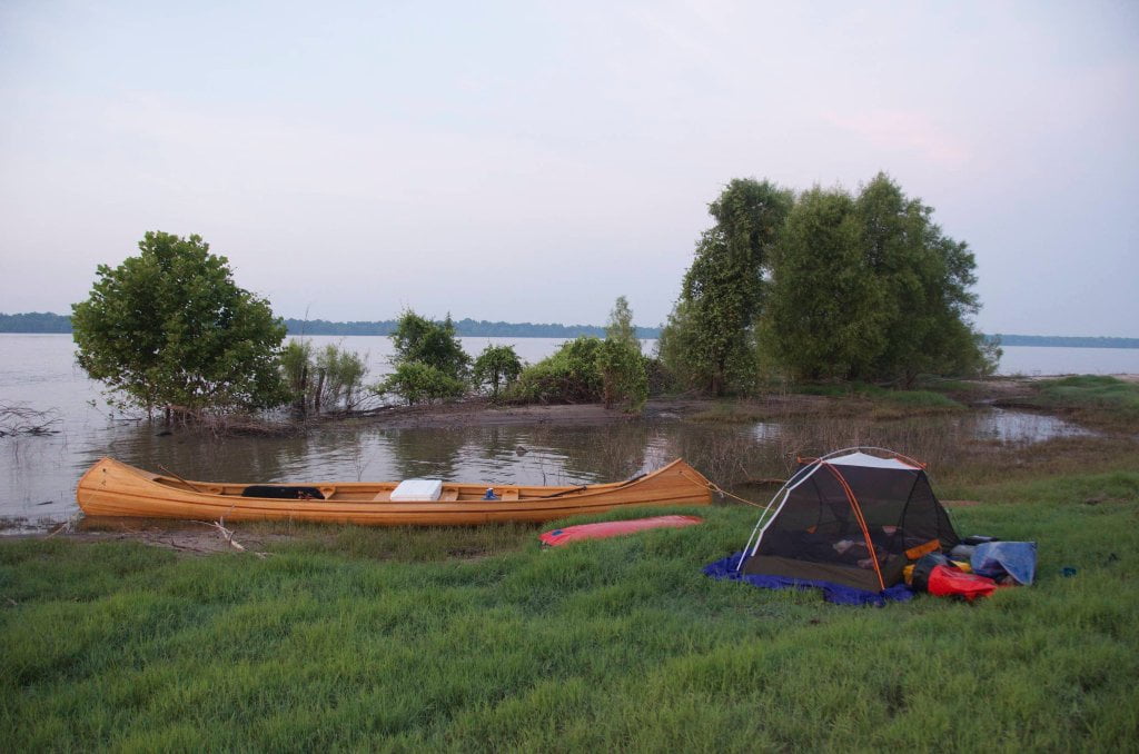
After Rounding Kentucky Bend the river turns southward around Leota Bar and runs into the Cracraft Chute. This is one of the most stunningly beautiful sections of river anywhere along the Lower Mississippi River. It should be considered a wild and scenic river so pristine are its islands, sandbars, forests, and so expansive the river which flows through them, around them, beside them, and (during high water) on top of them! Leota is the first of three prominent islands in this stretch, moreover boasts the best campsites. Leota rises proudly from the middle of the flood. At high water above 37 on the Greenville Gauge the river stretches several miles wide and Leota appears to be a vibrant green ship sailing over a roiling brown sea. Best camping at high water is found anywhere along the sandy flats crowded up along the base of the cottonwood/willow parklands. As the water drops the sandbars extend outwards in all directions, especially north and south. At low water this results in a superlative three-mile log island that feels closer to heaven than earth. The river continually carves a steep sandbar on the main channel side so you can always get close enough to the woods you can find wind and shade protection, and find firewood close by.

Leave A Comment
You must be logged in to post a comment.