The Lower Mississippi River Water Trail
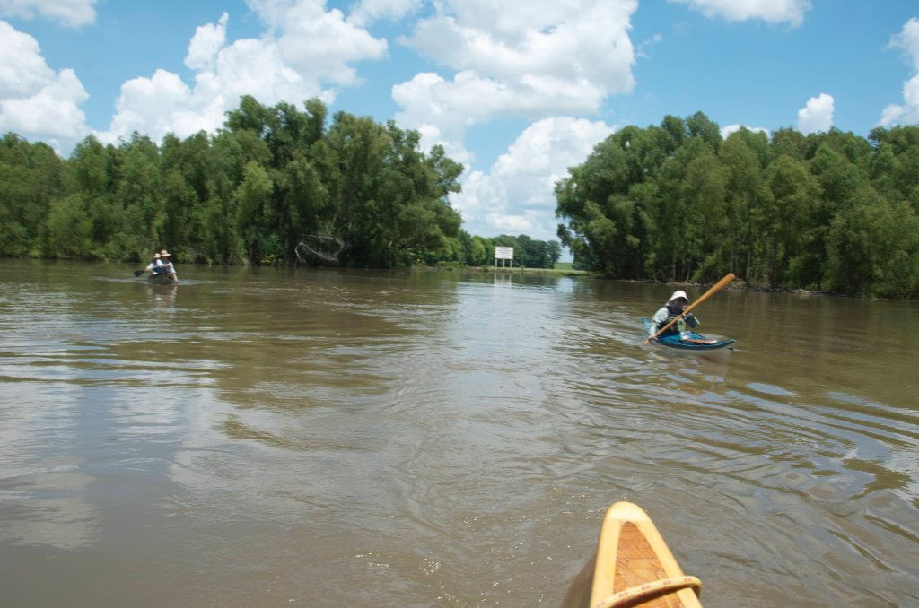
depending on rainfall and river levels. In a rising river the water will be pushing eastward into the pass. In a falling river it will be running westward out of the pass. In a steady river there will be no motion. Rainfall over the lake will have a minimal affect on the same, unless Lee Lake just happens to experience one of those Delta torrential downpours so carefully localized that 2-3 inches of rain falls only over the lake and its immediate drainages. But this would be rare to the utmost. Paddle quietly up the Lake Lee Pass for bird and wildlife sightings. The water will clear out eventually and you will be able to see the turtles, gar, sturgeon, paddlefish, catfish, buffalo, and others that had been previously concealed by the muddy waters.
Lake Lee Public Boat Ramp
Short narrow concrete ramp into Lake Lee off the levee. Doesn’t reach water below 20GG. Access to the Mississippi only in medium and high water levels. Cut off in low water. Land connection is from Hwy 1 eleven miles south of Greenville and over the levee on Riverside Road. Grassy parking area, but don’t leave your vehicle overnight.
Options for Paddlers Below Greenville Bridge near American Bar and Lake Lee
After flying below the Greenville Bridge downstream canoeists and kayakers can stay main channel for a ten mile straight shot down to the Kentucky Bend, or follow the American Cutoff behind Lakeport Towhead. Further Exploring is possible behind Walnut Point at medium or high water, with a remarkable safari through the Lake Lee Pass.
Main Channel
Stay main channel for a ten mile straight shot down to the Kentucky Bend going with the strongest flow which is found almost continuously middle and then slowly edging left bank over the distance of about ten miles.
American Cutoff behind Lakeport Towhead
If the river is higher than 30 on the Greenville Gauge you can slide behind Lakeport Towhead and through the American Cutoff. Slow flow at medium water (2mph), good flow (maybe 3mph) at high water. If you find connection at low water be ready for a long flat water paddle behind the island.
Walnut Point Chute
Look for the opening in the forest at RBD 525 above the first of the Walnut Point Dikes. This delightful channel meanders through tattered forests (that look like they’ve been recently logged or thinned). If the Chute becomes clogged with driftwood towards the


Leave A Comment
You must be logged in to post a comment.