The Lower Mississippi River Water Trail
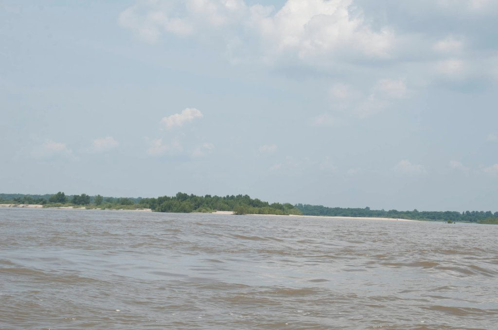
Three and a third mile paddle across the beautiful Bunch’s Cutoff from Public Boat Ramp to the main channel of the Mississippi. Rich with fish and bird life.
Bunch’s Cutoff Boat Launch
Good Boat ramp dropping into Bunch’s Cutoff three miles from mouth of the Mississippi River. Access over levee from US 65 eight miles north of Lake Providence.
Old River RBD 503
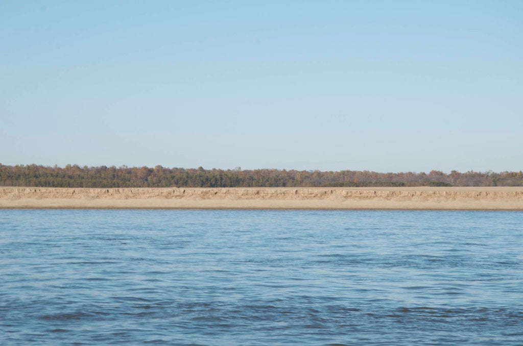
Two and a half mile paddle from Old River Boat Launch to main channel of the Mississippi River. Large blue hole created along the lake bank eastern perimeter of Old River Lake during the 2011 flood.
Old River Boat Launch
Primitive Boat Ramp built along old river bank with short concrete ramp. Good at most water levels, but access to river is cut off around 20GG. Access to Lake Providence via US 65, LA596 and Bunch’s Bend Road.
Entering Louisiana
At the lower end of Cracraft Bar around mile 507 the river leaves Arkansas along its west bank and enters Louisiana, the last state along the Mississippi River. Like a mother gathering up her children, the big river pulls in all the waters from the center of the continent and carries them downstream to the Gulf of Mexico. Here as the mother river leaves Arkansas only a few of her children remain downstream: the Yazoo, the Big Black, the Homochitto, and a few others, all east bank rivers and mostly coming in from Mississippi. From here downstream all west bank tributaries join the Ouchita, which in turn joins the Red, and parallel the Mississippi for hundreds of miles, eventually forming the Atchafalaya. One third of the average daily flow of the Mississippi is diverted into the Atchafalaya to maintain its flow and to ease pressure during highwater on the largest inland port in the world, the greater New Orleans and Baton Rouge combined ports.
The Mississippi River flows a little over five hundred miles across Louisiana before reaching the salty waters, with geography ranging from wooded loess bluffs, bottomland hardwood forests, cypress/tupelo gum swamps, and finally grassy coastal plains bordering the sea. Along the way the Mississippi journeys through Lake Providence, Three Rivers Wildlife Management Area and the Old River Control Structure (the birthplace of the Atchafalaya River) Angola State Penitentiary, Tunica Hills, St. Francisville, New Rivers Bridge (newest bridge on the Lower Miss), Profit Island, Baton Rouge, Bayou Goula, Plaquemines, New Orleans, and finally Venice, Pilot’s Town, and mile zero at the Head of Passes. For here the three major outlets fork outwards into the Caribbean: the Southwest Pass, South Pass, and Pass L’Outre. You still have many hundreds of paddling miles from the deep bottomland hardwood forests of Cracraft Chute and Bunch’s Cutoff to reach Cancer Alley and Bourbon Street, but stroke by stroke you’re getting there!

Leave A Comment
You must be logged in to post a comment.