The Lower Mississippi River Water Trail
Brown’s Point LBD 443.5. In low water a sizable sandbar collects here near LBD 443, but offers no protection from the elements and serves for much scrutiny from passing tows which hug this bar on their way upriver.
444 Brown’s Point Fault Line
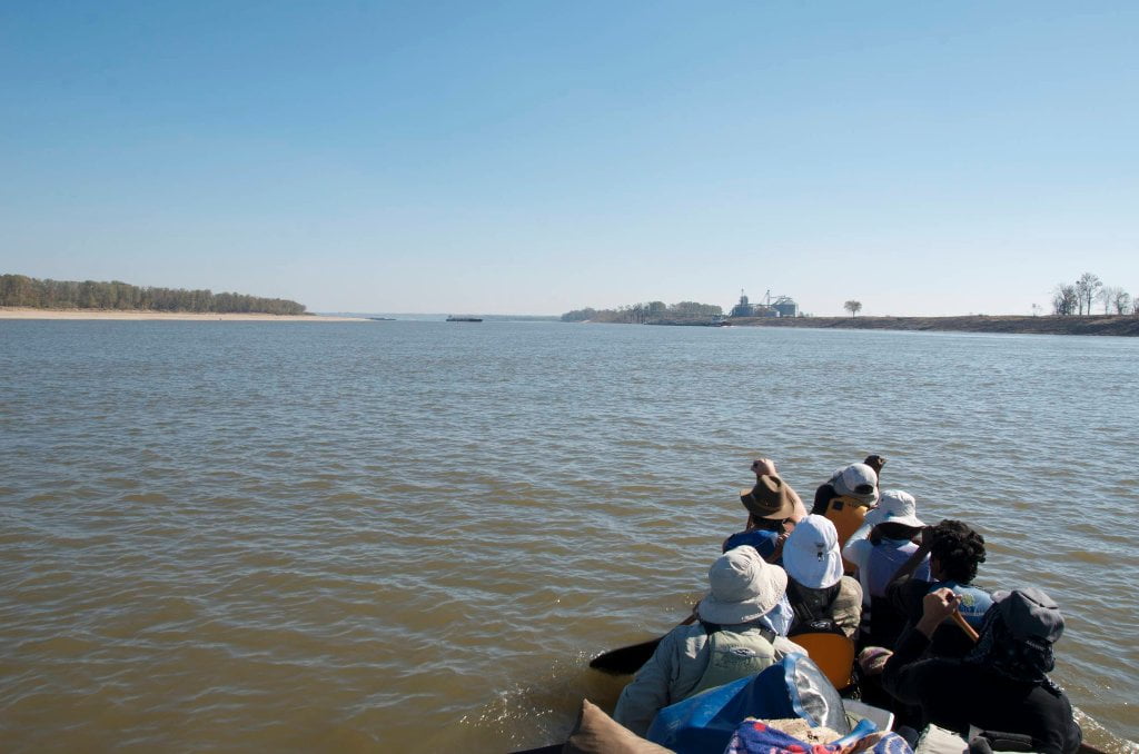
As you glide around Brown’s Point enjoying the lively currents pouring out of Paw Paw and Marshall Cut-Off and it seems like your final lap into Vicksburg is going to be an easy ride. Without warning and much to your dismay the strong flow in the middle of the channel suddenly flattens out in a mass of gentle but giant boils and weird slow side-to-side motions. Nothing violent or extreme happens here. But the current disappears and sensitive paddlers might feel like they’ve hit the end of the Mississippi River. This can be an exasperating feeling as you’re coming around the bend in the 22-mile long Bluz Cruz Kayak & Canoe Race. This can be very alarming if a towboat is powering up the channel towards you and you now feel helpless as a fly caught in a Venus flytrap. What is going on? The explanation is that the entire river drops over a 30 foot shelf. Not the top of the river of course (that would be a waterfall amongst waterfalls)! But the bottom of the river. If you were a 12-foot long alligator gar swimming along the bottom of the Mississippi you would slide over a watery dark chasm as the muddy bottom precipitously drops out. Your downstream current has been flattened by the “shoal effect.” When the volume of the river channel expands so abruptly, as happens at the bottom end of any shoals, the current slows and sometimes dissipates completely.
For the downstream paddler entering the shoals and confronting upstream tows in this morass don’t fret any more than usual. Remember, the towboat is experiencing the same water conditions you are. You have the same amount of time you had in the strong running waters to get out of their way. If you are paddling downstream in Bluz Cruz and get the feeling of the wind pulled out your sails here, keep paddling hard and remember that all of the other paddlers in front of you and all of those chasing your tail are experiencing the same. (Note to Bluz Cruzers looking for the best line: in high water cut the corner tightly and jump into the first tongue of water you see emerging downstream of this fault-line phenomena. In low water stay left bank with the flow until it dies, then paddle as hard as possible towards middle channel where the current eventually regains composure and reshapes itself for the final run down into the bluffs. When you take first place in your class be sure to thank the Rivergator for this helpful tip!)
As noted above, upstream tows tend to hug the LBD below Brown’s Point. If there are any downstreamers approaching (from above — within five to ten miles upstream) all the upstream tows in the Vicksburg area above the bridge will come to a halt somewhere along the tall forested banks LBD along King’s Point. After the downstreamer passes all the upstreamers will fire up their engines and begin churning the water here into a brown foamy broth with waves worthy of the Colorado River over Lava Falls. Monitor VHF channel 13. If possible, wait for last downstream tow to pass and then follow
Leave A Comment
You must be logged in to post a comment.