The Lower Mississippi River Water Trail
reverse when the Mississippi is falling and the Yazoo is high. Be sure to note the direction of flow, since flow will be your primary guide through the old channels and backswamps.
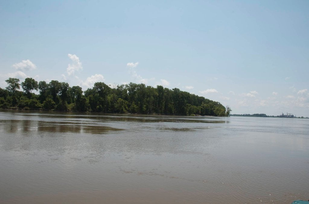
Only a few hundred yards across at top bank, it’s hard to envision Paw Paw Chute as the once big & wide old channel of the Mississippi River. And it’s also hard to recognize that Paw Paw Chute is the gateway to miles and miles of back channel and back swamp adventure! After leaving the main channel the first two miles of the chute is a narrow entrenched channel gently curving to the northeast. It is easily accessed at river stages above ten feet on the Vicksburg Gauge. Below 10VG some dragging will be required to get around old logs embedded in the channel bottom. At about the two-mile point, the channel widens and deepens. To the north is a narrow channel between the willows (less than thirty feet wide) This is the old river bend channel (look close!). At the lower stages this is impassable without portaging through thick mud (three feet or more deep!) for up to a half-mile. The large channel to the East is actually an old mouth of the Yazoo River which, as we will see, leads to a series of backswamps and old river channels, and eventually to the Yazoo and its modern course to Vicksburg and back to the Mississippi.
Around Paw Paw to Forest Home Chute
Above the Old Mouth of the Yazoo Paw Paw is usually canoeable or kayakable at river stages at 10VG and above (but best explored at 20VG or higher). Near or below this stage, the lower half mile is about 50 feet wide, widening out to about 200 ft, bordered by a high bottomland forested natural levee to the East, and a wide desiccated swamp to the west. At moderate stages, it is an easy low current paddle “upstream”. About one and a half miles above the old Yazoo, you’ll come to a private roadbed across the channel that is exposed and will require a few yard portage at river stages below 20 VG. Above that and you can easily paddle across. The road forms a dam, making the channel above wide open and navigable for some distance at all river stages. About one and a half miles above the road there is a Y in the channel. Paw Paw Chute is the left (southwest) branch, and continues another one to two miles, depending on stage, while the channel to your right is Forest Home Chute, another old river channel. Forest Home continues another four to five miles (depending on stage), with two more road portages at low river.
Wild sights you will enjoy exploring Paw Paw: large willows in the low areas, and mature bottomland hardwoods on higher elevations; this is a birdwatcher’s paradise. A pair of eagles have nested in Forest Home for the past decade; their nest is not visible from the water, but you might see them flying over. The extreme upstream portion of Forest Home narrows considerably, with a leafy canopy overhead. Beaver, mink, muskrat, and otter are common aquatic mammals, and deer are abundant! Bear have also been sighted. This is a wild area with the tropical feel of an Amazon tributary! Also watch for alligators. The past several State Record alligators (>500 lbs) were taken near here, along with a 13 ft, >700 pounder now on display at the Mississippi Museum of Natural Science. But don’t worry too much…leave them alone and they’ll leave you alone.

Leave A Comment
You must be logged in to post a comment.