The Lower Mississippi River Water Trail
661.6 Helena Bridge (Hernando DeSoto Bridge — US Hwy 49)
This is the only bridge in between Memphis and Greenville, over 200 miles of river. Such is the nature of the Lower Mississippi, and what makes this water trail such an attractive adventure for wilderness paddlers. The wildness of the Lower Mississippi River is reflected by the fact that there are so few crossings.
Paddlers: aim for whichever bridge opening is not occupied by towboat traffic and stay away from the pylons. “Look both ways before crossing.” Downstream Tows might be approaching from behind Buck Island still hidden from your view. Monitor channel 13 on your VHF Marine radio. If in doubt announce yourself and ask any pilot in the area for recommendations. In general the left-most opening LBD is the least used, hence safest opening, but it’s a long paddle from the Harbor opening. The fastest water flows through the right-hand opening RBD. This is also the most traffic-prone opening due to the many industrial docking facilities, fleeting, towboat and support boat activity found along the Arkansas shore RBD.
Floating underneath a bridge is one of the most sensational of Mississippi River experiences. For the paddler on the wide open Mississippi River it’s difficult to get a sense of motion, speed, and the river current. Sometimes it feels like you are sitting in a lake not a river, even though you are indeed floating within the throes of the biggest and most powerful river in North America! That is until you pass underneath a bridge. As you scoot downstream the water piles up high against the bridge pylons and then swirls around the backside with violent convulsions and contortions of water. You will enjoy the distinct sensation of river motion as the bridge abutments mysteriously slide by and the geometric truss work and solid concrete road bed swing overhead with surprising speed, the higher the water the faster the speed. At high water this experience can be slightly disconcerting so fast the bridge slides by with sickening sucking sounds and explosions of agitated water. If you entertained any previous doubt about the power of the big river it will now be forever dashed away!
Note: the bridge pylon is a very dangerous place for any paddler, regardless of river level. Keep at least twenty-boat lengths away from it (~100 yards), and never try to enter the eddying waters below. Passing towboats will make any already agitated places like the waters surrounding a bridge pylon to react even more violently
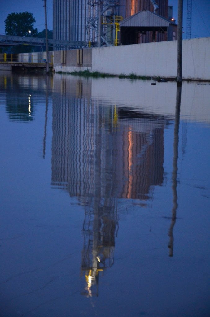
663 RBD Leaving Helena Harbor
Leaving the Helena Harbor and heading downstream: As you push from the Helena Harbor and paddle downstream you will enjoy some of the industrial works of mankind that line the busy channel for several miles below the bridge. See below for writing and recommendations about getting under the Helena Bridge. As you continue downstream past the bridge a long line of docking facilities and industrial installations are found bank right. Paddlers will want to keep a wide buffer zone of safety between your line of travel and any fleeted barges, any docks, piers, or anything else anchored or stationary in the current. If you inadvertently slide into the piers of a dock in these powerful waters you will likely be capsized. Two miles downstream of the bridge the Arkansas Power & Light Dock at 659.4 RBD will be your final industrial hazard until you reach Friars Point.
Leave A Comment
You must be logged in to post a comment.