The Lower Mississippi River Water Trail
690 Rabbit Island
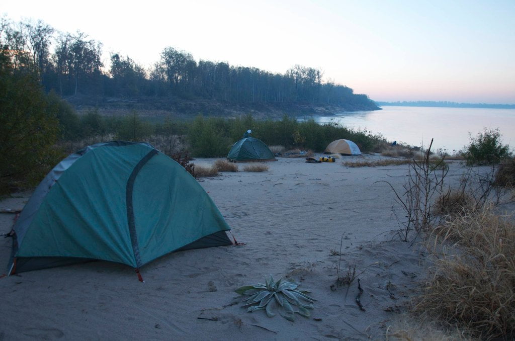
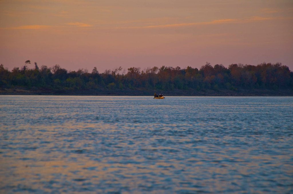
Great camping at all but the highest water levels. For paddlers on the main channel Rabbit Island seems to go on forever, especially with a head wind. During high water you can cut the corner. As the river approaches flood stage the back channel swells open a “country-mile-wide” offering paddlers a welcome alternative to the sometimes very busy main channel, which gets squeezed at the base of Rabbit Island. In high water go with the blossoming currents bank left across the wide watery expanse as close to the trees as you can find flow. Several miles past Commerce Point you can paddle behind a small forested island through which the channel narrows and gurgles along through stands of submerged willows and cottonwoods before re-entering the main channel a couple of miles above Mhoon Landing.
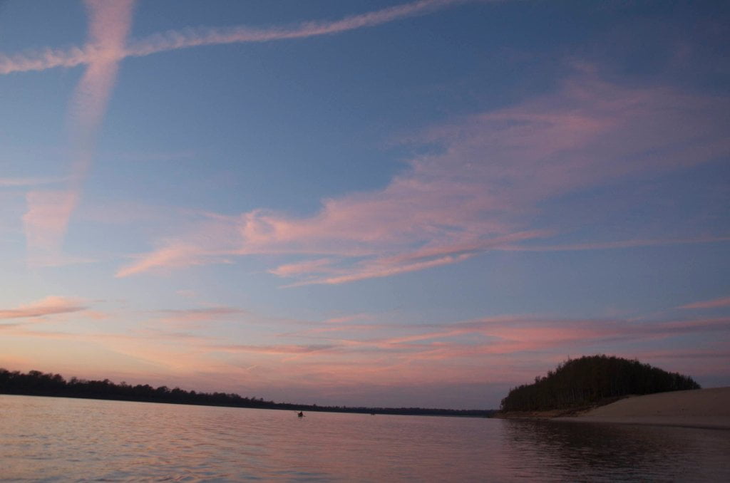
During low water the sandbar becomes the size of the Sahara Desert with endless locations for swimming and beach combing, the best is saved for last: a long slender sandy peninsula forms between the flowing muddy river and a giant lake-sized clear water inlet behind, affording spectacular beaches and inspiring close up views of upstream tows.
There are two signed channel markers around the Island (along the outside of Commerce Bend) that are conveniently placed almost exactly two miles apart. With a watch in hand you can get an approximate reading of the river speed. During the high-water of 1979 I clocked a startling 12mph at this location, and found the same two bends downstream in Walnut Bend. Local music legend John Mohead had dropped me off early that morning in Memphis and by dark I was under the Helena Bridge and made landing at Montezuma above Friars Point, after having paddled 83 miles in about 10 hours.
John James Audubon reported seeing bear running across Rabbit Island during his 1820 descent of the Lower Mississippi River. His journey exposed the wildlife of the South to his fine artistic capabilities, most of which he would shoot first and paint later.
Switching to the Helena gage
Mhoon Landing is 25 miles above Helena, For the remainder of this Rivergator section we will refer to the Helena gage (HG). This guide will try and describe all important landings and islands and openings to lakes using three water levels, low water, medium water and high water. The next designation would be flood stage (FS) or above. This guide will make few if any descriptions of anything on the Mississippi at or above flood stage. This guide will make strong recommendations for not paddling on the Mississippi at or above flood stage.
Referring to the Helena gage (HG):
Low Water = -6 to 20 HG
Medium Water = 21 to 35 HG
High Water = 36 to 43 HG
Flood Stage = 44 HG and above
Warning: above 44 HG paddlers are advised to stay off the river. Limited access. Most landings and approach roads will be underwater. Most islands will be gone. No easy camping. All sandbars will be covered. Fast waters with many hazards. All islands and landings will be surrounded by flooded forests full of snags, strainers, sawyers and all other dangerous conditions associated with floodwater moving through trees. Docks, wharves, dikes and any other man-made objects will create strong whirlpools, violent boils, and fast eddies. Towboats will create large waves. The Rivergator will not describe the river and its islands at any levels above flood stage.
Leave A Comment
You must be logged in to post a comment.