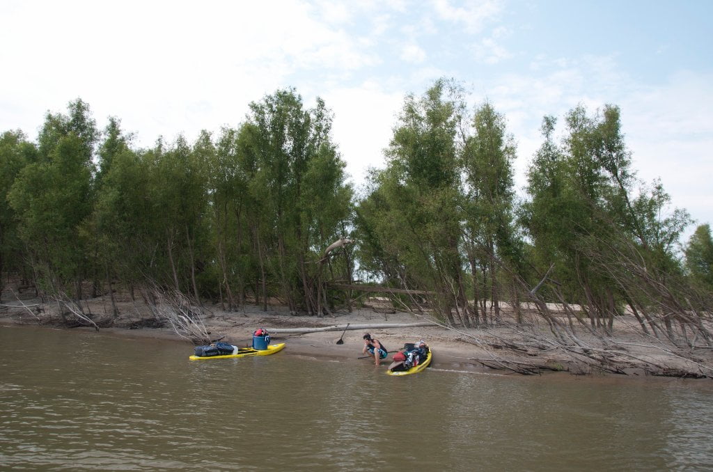
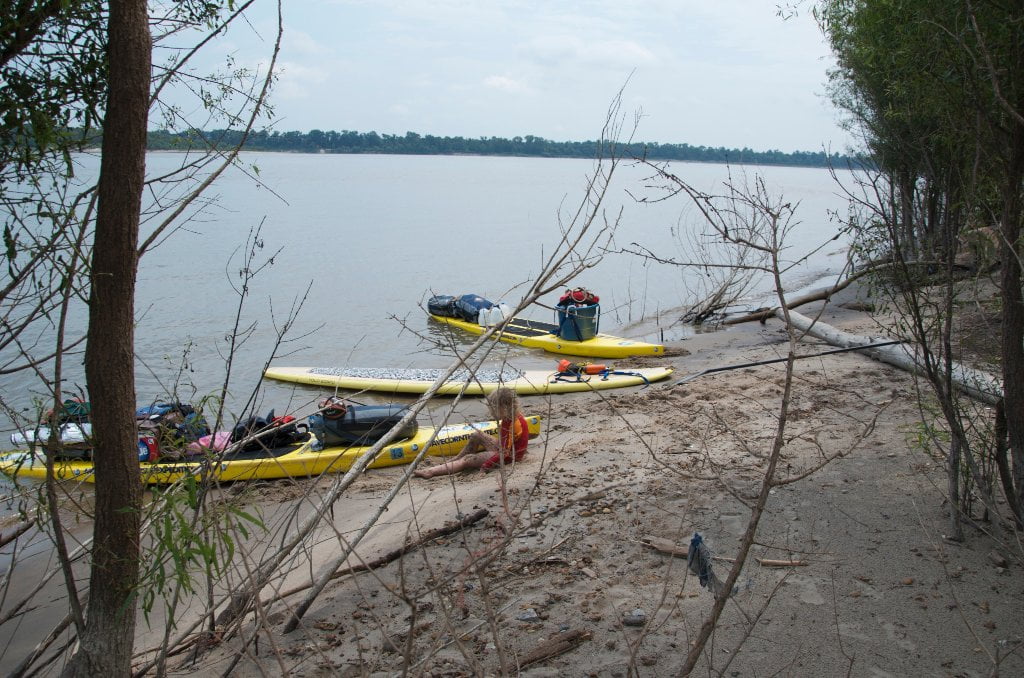
The Lower Mississippi River Water Trail

In wet seasons there will be water all the way through the 14 mile long Yazoo Pass from Moon Lake to the Coldwater River, but in times of drought short portages might be necessary at several shallows.  As its name implies, Yazoo Pass is an active pass.  When Moon Lake is getting the rainfall the water flows east towards the Coldwater.  However when the Coldwater is rising the pass might be flowing west into Moon Lake.  With some determination (also a machete and shrub saw are helpful) you can reach the Coldwater River, and follow the old trade routes down the Coldwater to the Tallahatchie, 117.5 miles down to the city of Greenwood where the Union soldiers were repulsed by a tiny rebel faction at Fort Pemberton (today nothing but a historic site where the Tallahatchie approaches Hwy 82).  Along the way the Coldwater/Tallahatchie system receives waters from all Mississippi Hill Country tributaries like the Yocona.  This is the same hill country that produced the Hill Country Blues tradition; indeed all of these waterways drain the former homes of legendary musicians like Mississippi Fred McDowell, Jessie Mae Hemphill, Junior Kimbrough and R.L. Burnside.   Along the way the Tallahatchie flows along past by important landmarks like the famed Tallahatchie River Bridge where Billy Joe McAllister met his sad fate (Bobby Gentry), the infamous Money Bridge where Emmett Till was murdered and ignited the Civil Rights era and lastly the Little Zion Church, one of Robert Johnson’s 3 disputed gravesites (all are located on or near the Tallahatchie/Yazoo — see below for more info).  As the Tallahatchie rounds Greenwood, the most wild & beautiful of all Hill Country tributaries the Yalobusha River comes rolling in from the East, the two rivers join to form the Yazoo, the famed “River of Death.”  The Yazoo rebounds westward following an ancient channel of the Ohio River flowing along past Cotton Row/Downtown Greenwood (good public landing) and then downstream past Three Forks (where Robert Johnson was reportedly murdered), Mt. Zion (another location where he is reportedly buried!), and from thence through Panther Burn, Yazoo City, Satartia, Redwood, and finally Vicksburg.


Just above Vicksburg the Yazoo the River of Death receives all the waters of the Mississippi Delta with the entrance of the Sunflower River through the Steele Bayou Control Structure.  If a raindrop falls in the Mississippi Delta (and a lot of them fall — in fact an annual average of 55 inches of rain) it doesn’t enter the Mississippi directly, but follows it in many parallel side streams  creeks & bayous like the Big Sunflower River, the Hushpuckena, the Quiver River, Deer Creek and Steele Bayou, all of which enter the Sunflower somewhere along its 250 mile long route and then are all delivered to the Yazoo at this junction, ten miles above Vicksburg and the confluence of the Yazoo with the mother Mississippi.   The largest freshwater pumps in the world were going to be constructed at the Steele Bayou Control Structure, a project known as the Yazoo Pumps; it was killed in 2010 by the EPA.


Yazoo Pass Mileage:

Helena to Levee via Yazoo Pass: 9 miles

Levee to Moon Lake NW shore: 2 miles

Moon Lake NW shore to Yazoo Pass: 2 miles

Alternate Start: BMW ramp to Yazoo Pass: 1 mile

Yazoo Pass Moon Lake to Coldwater River: 14 miles

Coldwater River to Tallahatchie River: 49 miles

Tallahatchie River to Yalobusha River: 68.5 miles

Yazoo River: Yalobusha to Vicksburg: 188 miles


Total: Helena to Vicksburg via Yazoo Pass = 332.5 miles

(Compare: Helena to Vicksburg on Mississippi River = 226 miles)

Leave A Comment

SECTION MILE ACCESS CITY
Middle Mississippi & Bluegrass Hills / Bootheel 195-0, 954-850 ST. LOUIS TO CARUTHERSVILLE
Chickasaw Bluffs 850 – 737 CARUTHERSVILLE TO MEMPHIS
Upper Delta 737 – 663 MEMPHIS TO HELENA
Introduction  
Memphis to Tunica
736 LBD Memphis, Tennessee, Mud Island Harbor
Buoys and Docks  
Floating Underneath a Bridge  
734.7 Lower Bridges/Engineer’s Bar
734.7 The Frisco Bridge
734.7 The Harahan Bridge
734.7 The Ghost Bunker
734.7 The Old Bridge (Memphis & Arkansas Bridge)
733 President’s Island
Fleeted Barges  
732 LBD Hole in the Wall ##2
727.3 TVA Transmission Lines
727.3 RBD The Wreck of the Raft
Tennessee Valley Authority  
725.5 LBD Entrance to McKellar Lake
7 Miles Up harbor Riverside Park Marina On McKellar Lake  
724 T.E. Maxon Wastewater Treatement Facility
Paddler’s Routes Below Memphis  
727 – 712 Dismal Point/Ensley Bar/Cow Island Bend Area
726 – 717 Armstrong/Dismal Point/Ensley Bar
720 Josie Harry Bar
718 – 713 Cow Island Bend
Goodbye Tennessee, Hullo Mississippi  
The Yazoo-Mississippi Delta and the Blues  
711 – 705 Cat Island No.50
710.8 LBD Starr Landing
712 – 695 Paddler’s Routes Around Cat Island and the Casinos
Pickett Dikes Back Channel  
639.8 RBD Tunica Riverpark Museum Boat Ramp
Tunica Riverpark Museum  
Basket Bar Dikes/Porter lake Dikes  
693.8 RBD Lost Lake Pass
703 Buck Island (No. 53)
701 Gold Strike Casino
700 Fitzgerald’s Casino
Tunica to Helena
700 Basket Bar
Paddler’s Routes Through Commerce and Mhoon Bends  
695 – 690 Commerce Bend
692.5 RBD Peter’s Boat Ramp
690 Rabbit Island
Switching to thhe Helena Gage  
Dikes and Water Levels  
687.5 Mhoon Landing
689 – 685 Mhoon Bar
690 – 683 Mhoon Bend
682 – 679 Whiskey Chute/Walnut Bend
680 Whitehall Crevasse
Paddler’s Routes Below Walnut Bend  
Stumpy Island, Shoo Fly Bar and Tunica Lake  
Main Channel  
677.4 LBD Tunica Runout
Behind Shoo Fly Bar  
Stumpy Island  
Walnut Bend Boat Ramp  
Tunica Lake Boat Ramp  
679 RBD Walnut Bend Boat Ramp
679 – 677 Hardin Cut-Off
677.4 LBD Pass Into Tunica Lake
677 – 676 Shoo Fly Bar
677 – 674 Stumpy Island
674.5 Harbert Point
672 RBD Mouth of the St. Francis River
Primitive Landing at the Mouth of the St. Francis Rive – Conditions  
RBD 3 Miles up St. Francis River Three Mile Ramp
Daytrip: St. Francis to Helena  
St. Francis to Helena: Paddler’s Descriptions  
For Intermedite Paddlers: Right Bank Route  
For Expert Paddlers: Left Bank Route  
St. Francis River  
671 – 673 LBD St. Francis Bar
669 LBD Flower Lake Dikes
668 RBD (A View of) Crowley’s Ridge D
668-663 RBD Buck Island (Prairie Point Towhead)
665.5 LBD Trotter’s Pass
663 RBD Helena Harbor
Helena Boat Ramps  
663 RBD Helena-West Helena
Quapaw Canoe Company – Helena Outpost  
Helena’s “Low Road” Into St. Francis National Forest  
King Biscuit Blues Festival (2nd Week of October)  
Helena to Friars
661.6 Helena Bridge (Hernando De Soto Bridge – US HWY 49)
663 RBD Leaving Helena Harbor
Fleeted Barges  
Small Towns in Harbors  
Buoys and Other Stationary Objects  
Highlights of Civilization  
Pollution Within the Helena Industrial Reach  
661.6 Helena Bridge (Hernando De Soto Bridge – US HWY 49)
657 LBD  
How to Get Into the Old Entrance of the Yazoo Pass  
LBD: Alternate Route to Vicksburg: Yazoo Pass  
Yazoo Pass Milage  
Rivers & Robert Johnson  
656 LBD East Montezuma Bar
657 – 654 RBD Montezuma Towhead
654.7 LBD Montezuma Landing
Shuttle Route Montezuma to Clarksdale  
652 LBD Friars Point
652.2 LBD Friars Point Landing (Unimproved)
What’s to Come Further Downstream  
Appendix  
Middle Delta 663 – 537 HELENA TO GREENVILLE
Lower Delta 537 – 437 GREENVILLE TO VICKSBURG
Loess Bluffs 437 – 225 VICKSBURG TO BATON ROUGE
Atchafalaya River 159 – 0 SIMMESPORT TO MORGAN CITY
Louisiana Delta 229 – 10 BATON ROUGE TO VENICE
Birdsfoot Delta 10 – 0 VENICE TO GULF OF MEXICO