The Lower Mississippi River Water Trail
Buoys and other Stationary Objects
The 2nd most dangerous hazard to any river paddler is a stationary object in a strong current. In smaller rivers stationary hazards include rocks, boulders, trees, snags, bridges, fences, etc. On the big river the main stationary hazards are fleeted barges, but also include docks, piers, and buoys. You will paddle past many docking facilities found within the three mile busy section below the Helena Bridge. Maintain at least a 100 yard safety distance away from these docks, and more if there appears to be any tow activity. Keep in mind that the wind can blow you sideways into bankside hazards. The river currents can also push you laterally across the face of the river. Watch shoreline landmarks and adjust your angle of travel accordingly. If necessary ferry out and head for the middle of the river, or the far side LBD. There are no buoys bank right through this section of river, because the water is deep all the way to the bank. But if your line of travel takes you into the middle of the river you will find a long line of red buoys (tow pilots call them the “nuns” for cone-shaped tops) marking the far edge of the navigation channel there. Oftentimes they are placed at the ends of wing dams or dikes. And that is indeed normally the case in this bend of the river; the US Coast Guard tries to maintain these buoys in a position of deep water at the ends of what is marked on the map as the “Montezuma Bar Dikes.” How deep is the water at the buoy? Towboats & fully-loaded barges draw nine feet maximum, but to add a little buffer the USCG likes to place them at the twenty foot depth. This helps accommodate changes of water level in the ever fluctuating Mississippi River.
Highlights of Civilization
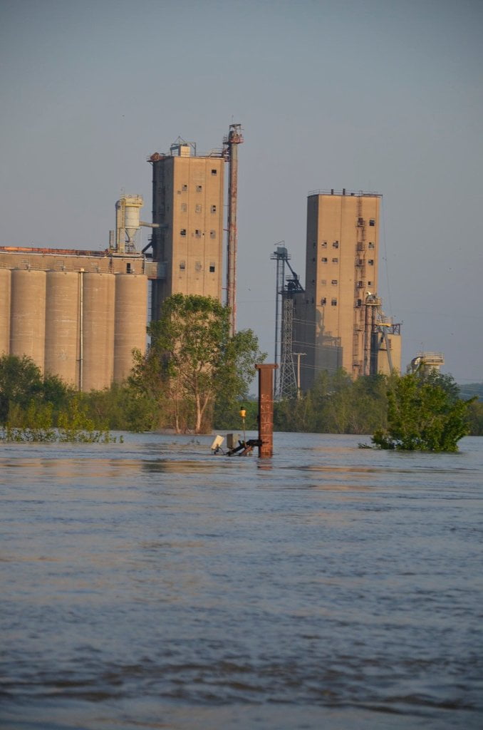
Some of the highlights of civilization as you paddle out of Helena include Quincy Soybean Docks (663), Isle of Capri Casino (662), the Helena Bridge (661.8), Texas Eastern (Petroleum) Products (662), Helena Bridge Terminal (661.6), Helena Fuel and Harbor Service (661.5), the Helena Power Plant, the high voltage transmission line of Arkansas Power & light (659.9 — towboat pilots refer to as the “High Wire”), Texas Gas Trans Corp (Pipeline going under river at 658.7) the Helena Slackwater Harbor (652.2), the Helena wastewater drainage pipes (652), and the ADM/McAlister Grain & Mississippi Limestone (652). All are in Arkansas RBD with the exception of the Casino and the Friars Point locations, which are both in Mississippi LBD.
Nature lovers — do not despair! — you will soon be leaving all signs of mankind behind. This eleven-mile section (to just below Friars Point) is just a little taste of some “busy-ness” before the wilderness. The good stuff is coming once you get below Friars Point. Furthermore this industrial section is actually a great education and should be looked upon as so. What you see in these eleven miles explains Louisiana’s “Chemical Corridor” and the vast inland port of Greater New Orleans — and the river’s connection to the world market. This will make a well-rounded tour for the long-distance paddler setting out from Helena down the Water Trail. You get the opportunity to experience a little industry and a lot of nature. The river is both commerce and wilds. It has always been this way since the Athabaskans first migrated across the Bering Strait and then South out of Canada and began ferrying goods along the plentiful river valleys in hollowed logs. They were of course later followed by their descendants the Chickasaw, Choctaw, Quapaw, Natchez, and many others in dugout canoes, hide-covered canoes and bark canoes. The Mississippi is and has always been this continent’s greatest highway and simultaneously also one of its greatest wildernesses. Can the two co-exist? I believe so and will describe it as so.


Leave A Comment
You must be logged in to post a comment.