The Lower Mississippi River Water Trail
711-705 Cat Island No. 50
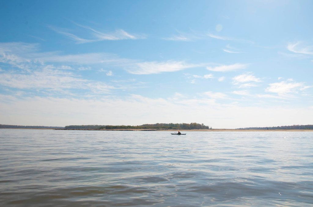
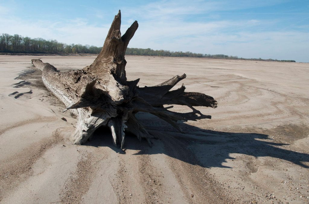
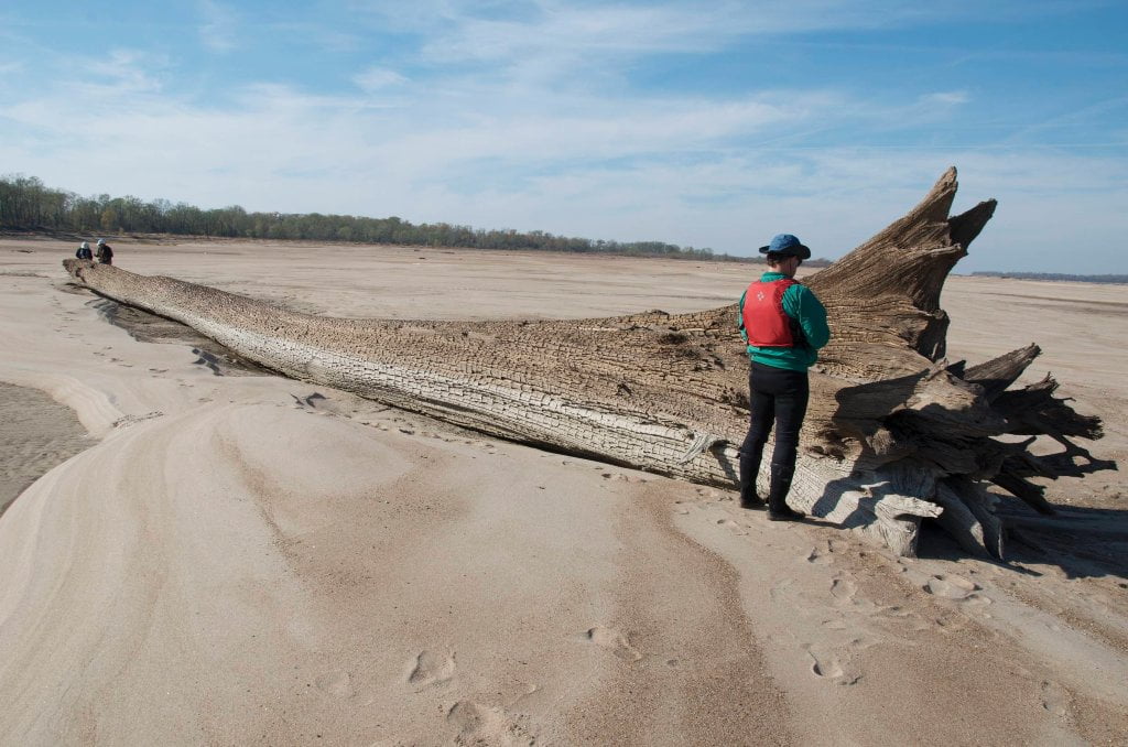
Cat Island is the biggest and wildest Island in this stretch of river boasting deep hardwood forests, willow/cottonwood flats, wild floodplain fields, and miles upon miles of sandbars and (at low/med water) gravel bars. Supreme camping found surrounding the island on all sides, pick and choose locations depending on water level. This giant island commands 6 miles of the main channel of the river. High ground top end running southeast. Unusual stand of eastern cedars along east bank. Extensive gravel bars top end at low water, sandbars bottom end. Back channel opens above 15MG in medium water, but dangerous falls throughout. Best to avoid until 25MG high water when there is good flow and no obstacles or dead water places. Secret channel at bottom of island makes a short crossing through lively woods full of birds and animals.
LBD 710.8 Starr Landing
Concrete ramp descending to river over rip rap. Spacious parking. Sometimes called Norfolk, or Star, or DeSoto Landing. First possible landing below Memphis (approx. 25 miles below Mud Island). Trashy, rough and ragged place. Never leave a vehicle here. Nice 10-mile daytrip from here to Tunica Riverpark Museum Landing.
712-695 Paddler’s Routes around Cat Island and the Casinos
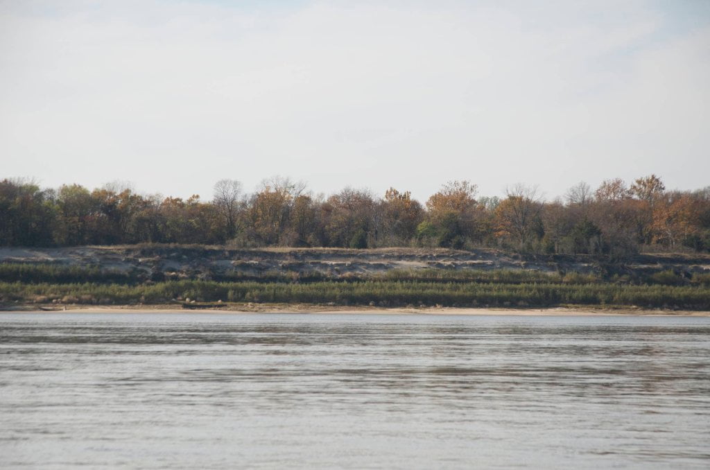
You can stay main channel around Cat Island and down the gauntlet of casinos, but you are in for a long straight stretch, 10 miles into the southwest, that can be stultifying on a hot & hazy day, and downright excruciating in a head-wind. If the river’s high enough, follow some of the back channel options for better scenery and possible protection from the wind. This unusually long stretch of rectilinear river is result of several major cutoffs. Two classic oxbow lakes were created with the cutoffs, today known as Horseshoe and Council Lakes. See Google satellite for a full appreciation of what the river channel looked like a couple of centuries ago. (Note: we won’t recommend any gambling along the route save deciding whether to follow some back channel routes and taking the risk of a low dike crossing with questionable water flow!)
Main Channel:
At low water (as depicted here on Google satellite) the main channel is a gently meandering route between the levees and long stands of trees. Line shows fastest water. At higher water levels this line straightens out, and at flood stage you could pick a direction of the compass and follow it successfully one end to the other!
Cat Island Back Channel
High water only. Avoid at medium water for dead water areas and several dangerous dike waterfalls. Not possible in low water. During high water this becomes a delightful shortcut and alternative to the main channel.
Leave A Comment
You must be logged in to post a comment.