The Lower Mississippi River Water Trail
726-717 Armstrong/Dismal Point/Ensley Bar
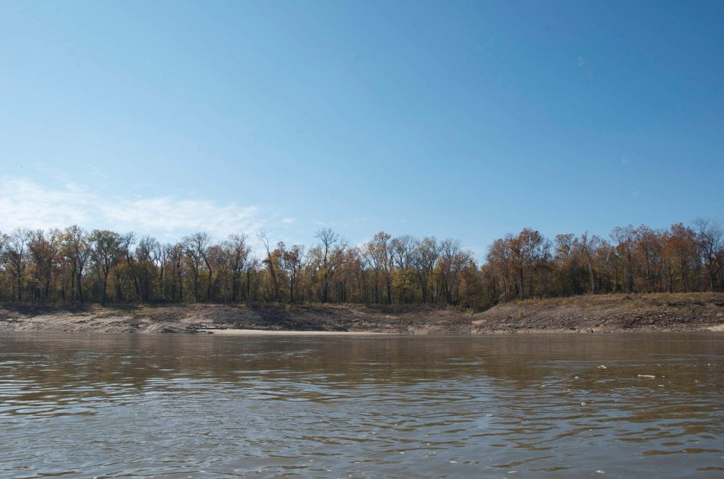
As noted above, the long chain of forested islands found along Armstrong/Dismal/Ensley is the best camping to be found below Memphis. Approximately fifteen miles downstream of Mud Island and light years away. (Note: another beautiful location awaits another 15 miles downstream at Cat Island). Currently there are five main islands and at least that many minor islands which are fairly static spread out over about nine miles of the main channel. The majority of dry land is found on the second island encountered. It is about 3 miles long and 3/4 mile wide and replete with good camping at all water levels. There is a long and wide back channel behind this big island with good flow at high water, in fact the water seems to flow just as fast behind the island as it does in the main channel. You can also jump behind another island into a narrow channel further back about halfway down, near mile 720.
This archipelago is lacerated by many connecting channels to the back channel which open during high water for exploration and wildlife sightings. There is only limited access in medium water MG15-25, and no water travel at low water below 15 MG — but you can pull into any number of inlets and continue by foot. At high water you can camp just about anywhere along any of the clumps of sand found close to the trees. At low water, however, the topmost island expands to a mile wide low-angle desert that you’ll want to avoid except in the most ideal of weather conditions. If there is any wind, sunshine or storms you will find no protection, and only shallow landings. Beware fast rising or falling river on any low-angle sandbars like this one. You could awake as some paddlers have and find your camp submerged, or worse yet, your canoe departed (always tie down regardless!). On the other hand in a fast falling river you might wake up the next morning high and dry with several hundred feet of wet sand and mud flats to portage over. Not as bad as losing your canoe completely, but also not a fun way to start the next day!
In general the best low water camping is found further down the chain of islands. Canoe or kayak along the right side of main channel (with the green “can” buoys) until you see the sand retreating closer to the woods. Pick your place and explore. If one place turns out to be a dud, keep going. The best camps will have a good landing, access to firewood and protection from wind or sun. You have about eight miles of riverfront islands to choose from, and the same on the backside. One of the lower islands (RBD 719) is inhabited by a small hunting camp on stilts, so you may not be welcome there. The lower islands rise just as high as the upper ones, and afford easy access to the trees at all water levels thanks to a series of inlets behind many peninsulas which jut out into the main channel and then fall back to reveal beautiful harbors and stunningly pristine sandbars alongside. As in many locations on the Lower Miss you will have to pinch your arm to remind yourself that you are on the muddy Mississippi and not some Caribbean seashore!
If you go back channel at medium or high water (above 25 on the Memphis Gauge) you will find almost as many beautiful sandbars to stop, stretch your legs, picnic on, or camp on, and you will enjoy the added privacy and feeling of wildness. The woods are deep here, and although you still see the glow of Memphis at night, by day you will feel that you are as deep as any wild places on the Lower Miss with the plethora of birds, turtles, fish, and many mammals such as deer and coyote. Wild Turkey seem to be particularly thick along these islands.


Leave A Comment
You must be logged in to post a comment.