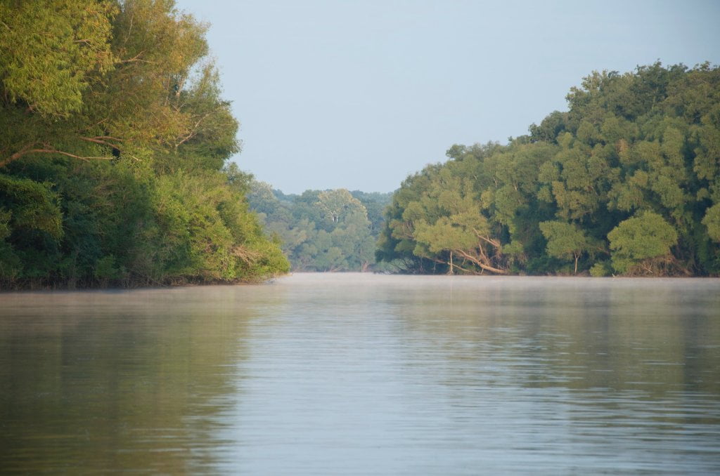
The Lower Mississippi River Water Trail
Description:
Enter main channel and follow right bank downstream 2 miles. If the river is 25HG or higher you cut behind the two islands that stand along the Arkansas shoreline, the Fawns, or you can stay in main channel past the Fawns. Buck Island is the sprawling Island beyond the Fawns. Make a landing at the top end of Buck Island for a picnic or rest stop. If the river is 25HG or higher follow the Buck Island Chute right bank descending behind the island and enjoy the long float into town with the island on one side and the ridge on the other. Watch for upstream tows as you re-enter the main channel. You can also access a secret channel that opens up at about the same level right at the base of the trees at the tippy-top of Buck Island. This secret channel will bring you down between Buck and Doe Islands where you will re-enter the main channel with a 2-3 mile paddle into town. Don’t go to the bridge or you will miss the harbor! The harbor opens up at mile 663 below the red day marker and the end of the Helena Boardwalk, one-and-a-half miles above the bridge. Turn up harbor and make landing several hundred yards at harbor’s end, big new ramp on the river side of harbor, steep old ramp (bottoms out in mud) on the other (town side).
Note:
Dangerous falls in back channels between 15 and 20HG. Back Channel opens up at 15HG with turbulent waterfalls over dikes. Still cascading at 20HG. Smooth flow at 25HG. Fast flow at 35HG. Towboats sometimes go behind island at or above flood stage 44HG.
For Expert Paddlers: Left Bank Route
From the Mouth of the St. Francis River make a strong ferry crossing ½ mile over the main channel to the St. Francis Bar for swimming, picnicking or birding. Look both ways before crossing and avoid tows at all costs. (If any tows are approaching wait before crossing!) If the water’s above 30HG stay bank left and paddle behind the Helena Islands and Flower Lake Islands. Or make main channel landings and explore the same by foot. Full of birds, amphibians and insects. Lots of animal tracks to follow. Ferry back to Buck Island for exploration there, or continue on around the perimeter of the Island and stay left bank below red marker 666.6 for access into the deep-muddy walls, tall willows and mysterious meanderings of Trotter’s Pass (opens up LBD 665.5). From Trotter’s stay main channel two miles and cross over above RBD 663 for final approach into the harbor. The further you stay out in the main channel the faster the water, but also the more towboats you will have to paddle around. Don’t go to the bridge or you will miss the harbor! The harbor opens up at mile 663 below the red day marker and the end of the Helena Boardwalk, one-and-a-half miles above the bridge. Turn up harbor and make landing several hundred yards at harbor’s end, big new ramp on the river side of harbor, steep old ramp (bottoms out in mud) on the other (town side – behind gazebo and Delta Cultural Center).


Leave A Comment
You must be logged in to post a comment.