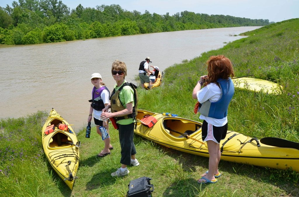
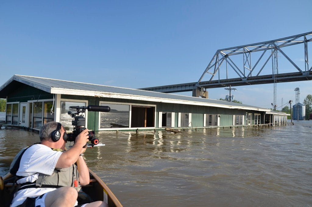
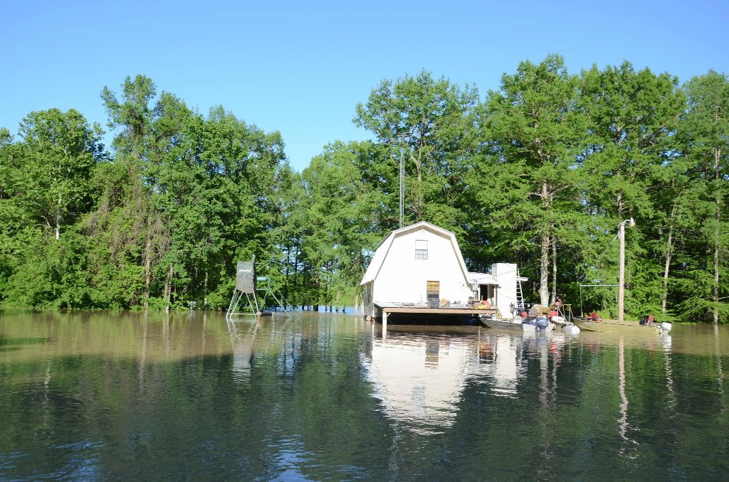
The Lower Mississippi River Water Trail

Helena’s “Low Road” into St. Francis National Forest

The “Low Road” north of Helena runs along the base of Crowley’s Ridge and provides land access to the mouth of the St. Francis River, and the Three-Mile Boat Ramp also on the St. Francis River.   This is one of the most beautiful drives in the region with the unique environment of steep Crowley’s Ridge hardwood ridges with ash, pawpaws, persimmons, rhododendron, ferns and equisetum on one side and cypress bottoms on the other side of the road.  Trees and plants that grow on one side don’t grow on the other.  The road is the dividing line between two distinct biota, and so the driver gets a doubly rich safari!  This gravel road is appropriate for bicyclists and hikers.  Little traffic.  Lots of side roads to explore, including roads to Horner Lake and Porter Lake.  No maintained trails, but being National Forest you can follow game trails, or your own line of direction and wander through thousands of acres of ridges, ravines and wetlands without encountering a single other person!  Avoid leaving road during hunting season.  Watch for poison ivy, snakes, spiders, and lots of briars.  Carry a map and GPS.


King Biscuit Blues Festival

(2nd weekend of October)

Every fall, during the second full weekend of October, one of the world’s greatest blues festivals takes place on the banks of the Mississippi River in downtown Helena.  As you paddle down the main channel of the river the sounds of towboats and cicadas in the river valley is replaced with the scintillating vibrations of the purest music tradition that was born out of the cotton fields of the deep south — the music that broke down the barriers of segregation and led to the birth of rock & roll — the downhome Delta Blues!


Imagine listening to world-class blues artists from where you sit on the levee, incredible blues performances in front of you, the Mississippi River flowing behind!  Traditionally the music starts Thursday at noon and runs through Saturday night.  Music is presented at five different stages in the downtown, and historic Cherry Street becomes a pedestrian mall lined with food vendors, arts & crafts booths and street musicians.  You can camp directly on the banks of the river in the Helena River Park, or you could camp on Buck Island and paddle in for the music.  For your own safety please don’t drink & paddle, and exercise special caution when paddling at dusk, or after dark.  Use running lights in case of close encounters with yachts, party boats and other motorized craft that frequent the harbor during festival time.


For more information about the King Biscuit Blues Festival, visit their website: www.kingbiscuitfestival.com

CLICK HERE for the next section

Leave A Comment

SECTION MILE ACCESS CITY
Middle Mississippi & Bluegrass Hills / Bootheel 195-0, 954-850 ST. LOUIS TO CARUTHERSVILLE
Chickasaw Bluffs 850 – 737 CARUTHERSVILLE TO MEMPHIS
Upper Delta 737 – 663 MEMPHIS TO HELENA
Introduction  
Memphis to Tunica
736 LBD Memphis, Tennessee, Mud Island Harbor
Buoys and Docks  
Floating Underneath a Bridge  
734.7 Lower Bridges/Engineer’s Bar
734.7 The Frisco Bridge
734.7 The Harahan Bridge
734.7 The Ghost Bunker
734.7 The Old Bridge (Memphis & Arkansas Bridge)
733 President’s Island
Fleeted Barges  
732 LBD Hole in the Wall ##2
727.3 TVA Transmission Lines
727.3 RBD The Wreck of the Raft
Tennessee Valley Authority  
725.5 LBD Entrance to McKellar Lake
7 Miles Up harbor Riverside Park Marina On McKellar Lake  
724 T.E. Maxon Wastewater Treatement Facility
Paddler’s Routes Below Memphis  
727 – 712 Dismal Point/Ensley Bar/Cow Island Bend Area
726 – 717 Armstrong/Dismal Point/Ensley Bar
720 Josie Harry Bar
718 – 713 Cow Island Bend
Goodbye Tennessee, Hullo Mississippi  
The Yazoo-Mississippi Delta and the Blues  
711 – 705 Cat Island No.50
710.8 LBD Starr Landing
712 – 695 Paddler’s Routes Around Cat Island and the Casinos
Pickett Dikes Back Channel  
639.8 RBD Tunica Riverpark Museum Boat Ramp
Tunica Riverpark Museum  
Basket Bar Dikes/Porter lake Dikes  
693.8 RBD Lost Lake Pass
703 Buck Island (No. 53)
701 Gold Strike Casino
700 Fitzgerald’s Casino
Tunica to Helena
700 Basket Bar
Paddler’s Routes Through Commerce and Mhoon Bends  
695 – 690 Commerce Bend
692.5 RBD Peter’s Boat Ramp
690 Rabbit Island
Switching to thhe Helena Gage  
Dikes and Water Levels  
687.5 Mhoon Landing
689 – 685 Mhoon Bar
690 – 683 Mhoon Bend
682 – 679 Whiskey Chute/Walnut Bend
680 Whitehall Crevasse
Paddler’s Routes Below Walnut Bend  
Stumpy Island, Shoo Fly Bar and Tunica Lake  
Main Channel  
677.4 LBD Tunica Runout
Behind Shoo Fly Bar  
Stumpy Island  
Walnut Bend Boat Ramp  
Tunica Lake Boat Ramp  
679 RBD Walnut Bend Boat Ramp
679 – 677 Hardin Cut-Off
677.4 LBD Pass Into Tunica Lake
677 – 676 Shoo Fly Bar
677 – 674 Stumpy Island
674.5 Harbert Point
672 RBD Mouth of the St. Francis River
Primitive Landing at the Mouth of the St. Francis Rive – Conditions  
RBD 3 Miles up St. Francis River Three Mile Ramp
Daytrip: St. Francis to Helena  
St. Francis to Helena: Paddler’s Descriptions  
For Intermedite Paddlers: Right Bank Route  
For Expert Paddlers: Left Bank Route  
St. Francis River  
671 – 673 LBD St. Francis Bar
669 LBD Flower Lake Dikes
668 RBD (A View of) Crowley’s Ridge D
668-663 RBD Buck Island (Prairie Point Towhead)
665.5 LBD Trotter’s Pass
663 RBD Helena Harbor
Helena Boat Ramps  
663 RBD Helena-West Helena
Quapaw Canoe Company – Helena Outpost  
Helena’s “Low Road” Into St. Francis National Forest  
King Biscuit Blues Festival (2nd Week of October)  
Helena to Friars
661.6 Helena Bridge (Hernando De Soto Bridge – US HWY 49)
663 RBD Leaving Helena Harbor
Fleeted Barges  
Small Towns in Harbors  
Buoys and Other Stationary Objects  
Highlights of Civilization  
Pollution Within the Helena Industrial Reach  
661.6 Helena Bridge (Hernando De Soto Bridge – US HWY 49)
657 LBD  
How to Get Into the Old Entrance of the Yazoo Pass  
LBD: Alternate Route to Vicksburg: Yazoo Pass  
Yazoo Pass Milage  
Rivers & Robert Johnson  
656 LBD East Montezuma Bar
657 – 654 RBD Montezuma Towhead
654.7 LBD Montezuma Landing
Shuttle Route Montezuma to Clarksdale  
652 LBD Friars Point
652.2 LBD Friars Point Landing (Unimproved)
What’s to Come Further Downstream  
Appendix  
Middle Delta 663 – 537 HELENA TO GREENVILLE
Lower Delta 537 – 437 GREENVILLE TO VICKSBURG
Loess Bluffs 437 – 225 VICKSBURG TO BATON ROUGE
Atchafalaya River 159 – 0 SIMMESPORT TO MORGAN CITY
Louisiana Delta 229 – 10 BATON ROUGE TO VENICE
Birdsfoot Delta 10 – 0 VENICE TO GULF OF MEXICO