The Lower Mississippi River Water Trail
There is a channel entering hard left all the way against the old revetment Mississippi Bank LBD below the last long dike at Mile 656.5. The trained eye will see the opening by the subtle changes of trees lines, young willows closer, the older forest rising on top of the higher forest bottoms behind with a slightly different canopy of giant oaks, sweetgums, sycamores, cottonwoods, and others, the classic trees of the bottomland hardwood forest. In higher water levels you will have to hug the willow tree line LBD to find the opening so strong does the water flow through, and once you go over the dike line it’ll be too late to paddle back up into the Pass.
Warning: at medium waters this dike line (#3 at 656.5) will be an explosion of agitated water, fast swirling octopus arms of water motivated by blooming boils with following whirlpools, roughest between HG 20-25, it becomes smoothed over above HG 26.
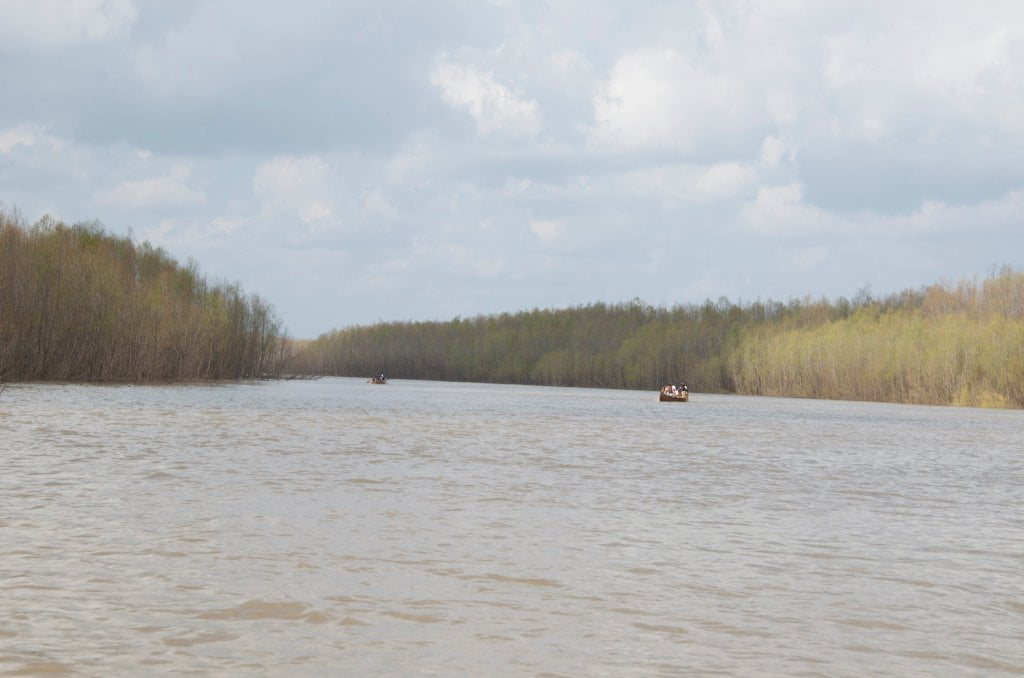
Once you round the peninsula of willows, you will enter a strikingly beautiful narrow channel running north parallel to the tall woods along the Mississippi shore. The water calms out (except at high water when there is a gentle current) and you can paddle several hundred yards at med water. The quiet & peacefulness of the setting is a welcome contrast to the boisterous main channel. If the water’s high and you want to do some exploring through the deep woods, you can paddle several miles following the remnants of the old channel, above flood stage you can paddle right up to the levee which now cuts the Pass off from its former route to Moon Lake. Now imagine 2300 soldiers on fortified steamboats entering this same channel (which was about the same width at its mouth back then)! At med river level the waters of the Pass will be a delightful clearish-greenish hue, much clearer than the muddy waters of the main channel. If you are a strong swimmer and know how to self-rescue, it’s a beautiful place to jump out of your canoe and take a refreshing swim. [CLICK HERE: for Safe Swimming in the Mississippi]. At higher water levels, the muddy main channel submerges the islands and invades all the willow forests and spills into the Pass.
LBD: Alternate Route to Vicksburg: Yazoo Pass
For the long distance paddler weary of the monotony of the main channel, and ready for an adventure into the “heart of darkness,” a parallel journey down the legendary Yazoo-Mississippi Delta could be made — to rejoin the river 338 miles downstream at Vicksburg. It’s not a shortcut; in fact it’s a long-cut, over one hundred miles longer. It’s an oftentimes moody, gloomy journey through blues drenched landscapes of the cotton-kingdom. It will involve at least one long portage through poison ivy, thorny, caney, snake-infested, mosquito-ravaged thickets. Once you reach the Coldwater River it’s good water all the way, although most likely much slower than the Mississippi. Why do it? For the history, for the culture, for a backdoor view into the heart of the Mississippi Delta, but primarily for — the adventure!
While several miles of the pass have been cut off by the levee and later Mississippi Highway 1, you can today paddle across Moon Lake (oxbow lake, old Mississippi River channel) and find the pass on its northern shoreline, behind Uncle Henry’s B&B and fine dining (old Moon Lake Casino). Your best and definitely easiest route however would be to arrange a shuttle from Helena to Moon Lake, and put in at the BMW store Boat Ramp.

Leave A Comment
You must be logged in to post a comment.