The Lower Mississippi River Water Trail
849 RBD Mouth of the Caruthersville Harbor
There is a primitive landing RBD over rip-rap at mouth of harbor that is often frequented by local fishermen (and women!). This landing is open at all water levels, but best used during higher water levels when the river covers the rip-rap. At low water this area bottoms out in muddy rocky morass (around 5 on the Caruthersville Gauge). Warning: as with almost all Mississippi River landings, this area often degenerates into a weekend party place. Not a good place to camp. Don’t leave vehicles overnight. Okay for day trip, but take precautions by locking your vehicle and hiding all valuables out of sight.
848 RBD Trinity Barge Fabrication Plant
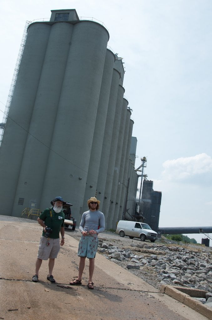
After leaving the Caruthersville Harbor the downstream canoeist, kayaker or surfer (stand-up-paddlebpard) will soon paddle by a noteworthy river-related industry right bank descending. Trinity Barge Fabrication Plant specializes in large ocean-going barges. Like many ship-builders they launch their finished product by the “slide method.” The slide method involves sliding the new barge over the riverbank down a ramp leading to the water. During launches you will want to give this area wide berth. Newly completed barges dancing with fresh coats of industrial paint in bright colors make their splash-down and are transferred by small tows directly across the main channel where they are anchored alongside others for future use or transport. Note: if you are hugging Tennessee left bank descending as you come around the bend be alert of these fleeted tows, and keep your distance. Fleeted tows have consumed more than one canoe and many motorboats, and always present a potentially hazardous situation for any paddler.
847 RBD Blaker Towhead
Long distance paddlers needing a resupply stay bank right for optimal access for the landing in downtown Caruthersville (see below for description). Those continuing on without stopping here might want to enjoy the backwater pleasures of Blaker Towhead.
The back channel of Blaker Towhead opens up in medium water (approximately 15 CuG) around a beautiful big-grain sandbar with slow current. As the river rises the entrance steadily enlarges to become a yawning mile-wide opening with generous flow pouring behind island in high water (above 25 CuG). This 3-mile long island is edged by possible medium water campsites both top end and bottom end, but all sand disappears at flood stage.
WARNING: Whitewater cascade sometimes encountered at base of first dike below Blaker Towhead! Avoid entering back channel if you’re not prepared for the challenges of a 3-4 foot whitewater drop and accompanying whirlpools, violent eddies and ravenous boils.
Back channel re-enters main channel and then tumbles over a couple of short dikes LBD 842 that sometimes create a lively whitewater feature with a foaming 3-4 foot drop and standing waves. The biggest drop is found at the first dike below island. You can avoid these turbulent cascades by cutting quickly back into the main channel as soon as you see it. On the other hand if you want the wild ride, stay LBD and look for the commotion with lifejacket on and all gear firmly strapped down!


Leave A Comment
You must be logged in to post a comment.