The Lower Mississippi River Water Trail
Below Caruthersville:
1) Main Channel:
The fast water goes right bank past the Caruthersville Harbor and then edges mid-river for a fairly straight seven mile southeasterly run and then slides left bank around Linwood Bend for easy access to Booth’s Point Boat Launch or continuing on downstream under bridge.
2) Caruthersville-Linwood Bend:
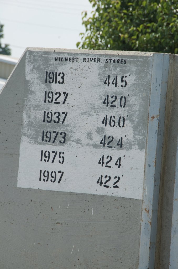
Around 15 CuG (on the Caruthersville Gauge) the water begins to pour over the dikes behind Caruthersville-Linwood Bend and by 30 feet there is a strong flow. Hug the bank RBD for beaver and river otter sightings and possible views of the American bald eagle. There are several bald eagle nests built in the high forks of some of the big trees along this bend. If you stay right bank all of the way around the bend you will float over a series of 10 dikes, each with its own turbulence and eddies and boiling waters. Keep as close or as far out as your time allows. As you come around the bend you will be facing the hulking monolith of the Caruthersville Bridge. If you are pulling out at Booth’s Point/Linwood Bend Boat Ramp make your crossing whenever possible as soon as you see bridge. If you are keeping downstream follow any river line under bridge.
3) Blaker Towhead Back Channel
The back channel of Blaker Towhead opens up in medium water (approximately 15 CuG) around a beautiful big-grain sandbar with slow current. As the river rises the entrance steadily enlarges to become a yawning mile-wide opening with generous flow pouring behind island in high water (above 25 CuG). This 3-mile long island is edged by possible medium water campsites both top end and bottom end, but all sand disappears at flood stage. Back channel re-enters main channel and then tumbles over a couple of short dikes LBD 842 that sometimes create a lively whitewater feature with a foaming 3-4 foot drop and standing waves. The biggest drop is found at the first dike below island. You can avoid these turbulent cascades by cutting quickly back into the main channel as soon as you see it. On the other hand if you want the wild ride, stay LBD and look for the commotion with lifejacket on and all gear firmly strapped down!
850 rbd Caruthersville Harbor Boat Ramp (1/2 mile up harbor)
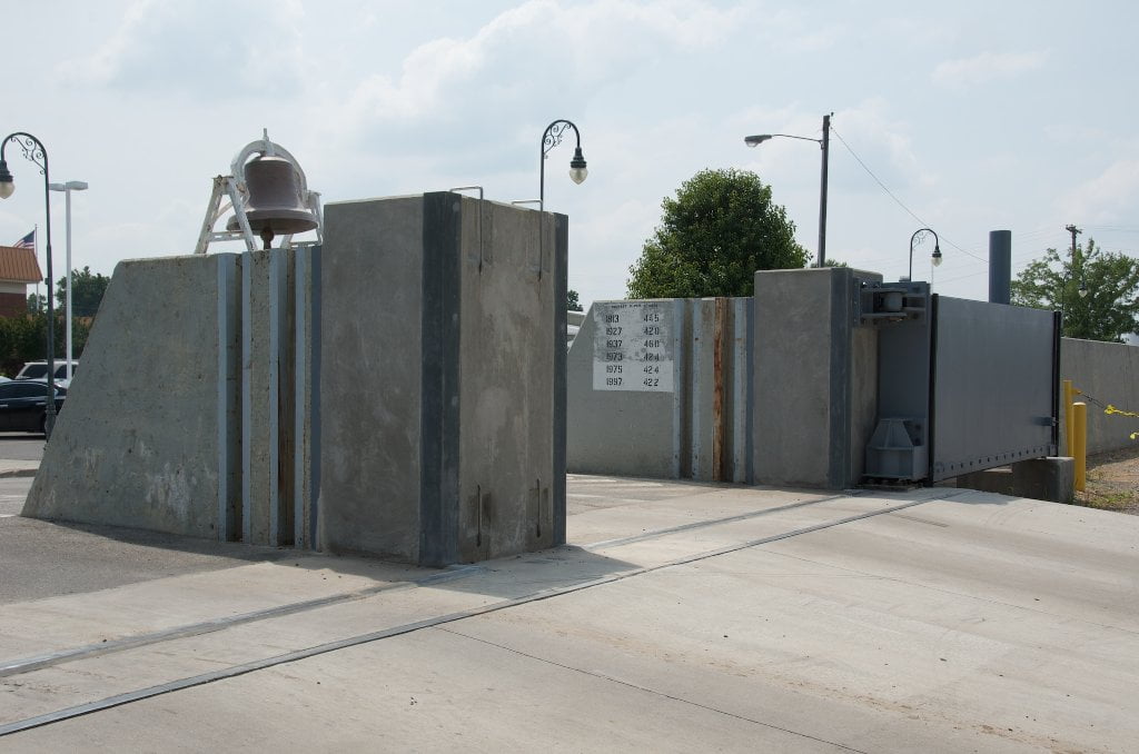
Wide Concrete Boat Launch located within the protected waters of the Caruthersville Harbor. Excellent start place for any expedition. Best landing in area. Also 2nd (older) ramp nearby. Don’t leave vehicles overnight; arrange shuttle. Ramp usable at all water levels. Note: Possible 4 mile quick trip from here down to the downtown Caruthersville Boat Launch, or even better 10 mile day trip down to Booth’s Landing Tennessee (see below for day trip description). (Note: long-distance paddlers who want to resupply here would be best served by making landing at the downtown ramp RBD Mile 846.5.)
The Caruthersville Harbor sometimes teems with small tows servicing the Pemsicot County Port Authority Wharf and nearby grain and petroleum docking. Paddle half mile to the mouth of the river along east bank of harbor (LBD) to avoid possible confrontations. Watch out for large tows along riverbank adding on or removing barges. Monitor VHF Channel 13 if you have a marine radio for possible traffic before entering main channel.
Leave A Comment
You must be logged in to post a comment.