The Lower Mississippi River Water Trail
Buoys and Dikes
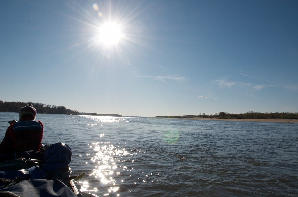
After leaving Shelby Forest Boat Ramp (or from behind Brandywine) the paddler can follow any number of flow lines downstream along the gentle southerly curve of the river. The river is a mile wide here and the channel runs almost due south towards Memphis, curving slightly west, then east for a final due south run along Harbor Town Mud Island and under the M Bridge. The big city excitement is building, but you have many pleasures before you get there… and a few dangers. From the cockpit of your kayak or the seat of your canoe you can see over the curvature of the earth, five miles downstream. On a stand-up-paddleboard you can see a little further. Regardless your vessel, a person standing on a distant shore would not be visible. Fortunately the tall tops of the tows can still be seen (although their barges may not be!). As always their intended route may not be apparent. The only thing you can be certain of is that they will stay in between the red “nun” buoys LBD on channel left and green “can” buoys RBD the channel right.
The current seems to disappear in the mile-wide miasma of muddy water until you paddle near one of these 750 pound buoys tethered by a one-ton concrete block, swinging wildly left and right, and you feel yourself slide past at an alarming rate of speed. Many first time paddlers on the Mississippi have said something to the effect of: “Wow! What was that? Was that thing moving by?” So big is the river, and so difficult the perspective, a buoy encountered mid-channel seems to be charging upstream through the river, and not vice versa.
The buoy plows a distinct V-line into the face of the river with the fast moving water roaring behind downstream, curling inwards and creating a series of curvy boils and whirlpools. Hence its constant swaying back & forth. Like the river herself,, the buoy is never at rest. If you do find one that is not moving, look around, you must be in a harbor. The green “can” buoys in this area mark the ends of a series of long dikes stretching from the Tennessee shoreline. The dikes typically go underwater at medium water, around 15 on the Memphis Gauge (MG) although this might vary from dike to dike. If you stay to the left of the red nun buoys you will inevitably slide over many of these dikes, which you will feel by the slight curve and drop of the river, and resulting explosion of boils and whirlpools. At medium water these will be gentle explosions, but at high water they intensify. At low water when the rocky dikes are fully exposed the river runs into the dike, flows outward towards the main channel, and rushes then outward, usually with a powerful eddy behind full of curls and bumps. You can avoid the turbulence by staying to the right of the red nuns, but only in the absence of tow traffic. Some paddlers love the wing dam turbulence, some avoid it like the plague.


Leave A Comment
You must be logged in to post a comment.