The Lower Mississippi River Water Trail

LBD 743.5-740 Redman Point Bar

Redman Point Bar is a small island with lots of character.  Its back channel contains landmarks extolled by local mariners with enchanting names like “Washing Machine,” “Pebble Beach,” and “Hole in the Wall,” as described below.  Its top end was almost completely blown out during the 1997 flood, after which the USACE responded with an imposing two-mile long castle wall parallel to the main channel to contain any further degradation.  It reminds one of Hadrian’s Wall for its crude but effective mass.  This rock dike marks the edge of what used to be the island.  Oddly, much of the present day Redman Bar’s charming character comes from the strange landscapes created thereof. Today Redman is lacerated by channels, pools, blues holes, sand bars, gravel bars, forests, wetlands, and many other interesting landscapes and opportunities for the paddler.


As you come down below Brandywine through Centennial Cutoff stay with the flow RBD for entry into Redman.  At high water you can jump in anywhere along its top end, but in medium water (below 15MG) you’re choices for entry are limited to the topmost opening and a notch a mile further down the outer dike known as “Hole in the Wall.”  In high water, you’ll see some turbulence marking the topmost entrance.  Roll over that and get behind a tiny island (nothing more than a small gathering of willows) and continue on over another turbulence (a second short dike) for a close-up view of what local boaters refer to as “the Washing Machine.”  A revolving raft of driftwood sometimes as big as a Super WalMart has collected in a large eddy.  Varies in size and strength.  The driftwood has piled so forcefully into this place that several old back channels have been completely blocked.  You can clearly view this blockage on google earth.  Colonel Shreve (the inventor of the snagboat) would have difficulty removing this plug.  The 2011 flood added new pieces to the collection, including an entire barn wall.


Continuing past Washing Machine during medium water will bring you a couple of hundred yards into a wide bay contained in between a willow forest at the top of the island and the imposing rock dike that stands as a monument to the old dimensions of the island.  The bay ends over another dike which has been notched.  Spill through the notch (if it’s exposed) for a landing at Pebble Beach, a broad gravel bar that is sometimes connected to the top end of Redman, and is sometimes an island.  At high water Pebble Beach disappears.  Continue on into Back Channel due west several hundred yards with the prevailing flow.


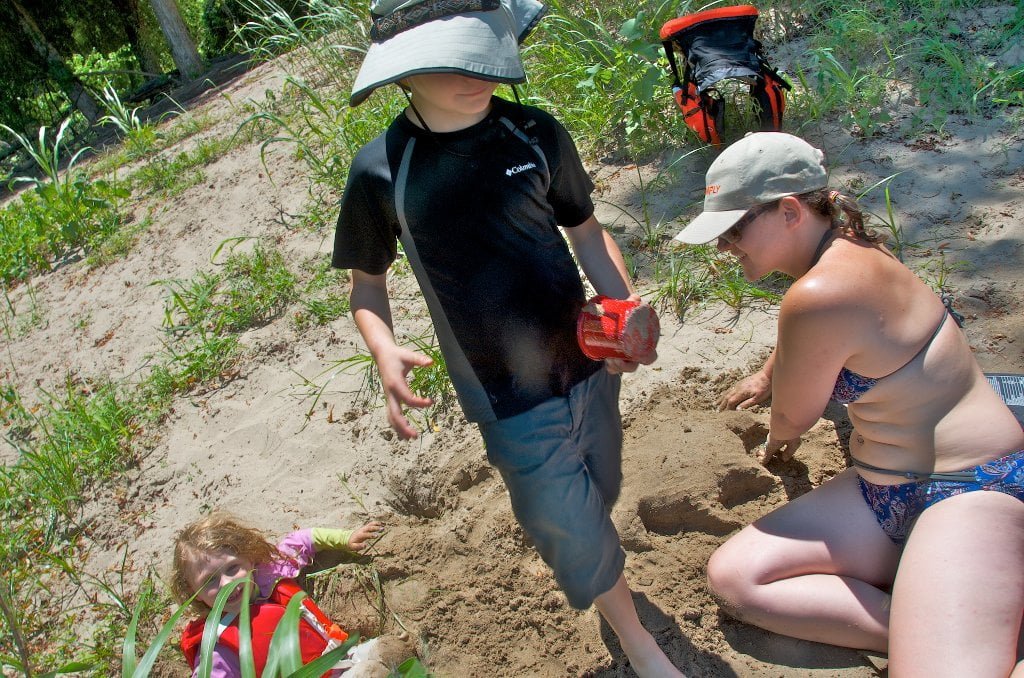
Pebble Beach has formed over the years from annual flooding, and is a good place to stop and stretch, rock hound, or have a picnic.  No shade though.  At low water the top end is closed and the only way into Pebble Beach is through the aforementioned Hole in the Wall.  Glide along in the main channel until you see the obvious opening RBD 742.5.  Choose your best line and paddle in over some boils and eddies.  If there’s water flowing in then probably the back channel is still open, although a little footwork from Pebble Beach might save some backtracking.  Hole in the Wall stops flowing around 5MG, but you can still enter the gap and find quick refuge from the wind or the waves of passing tows.


Follow the water around Pebble Beach for entry into the Redman Back Channel.   The current flows due west several hundred yards and is turned south by an old revetment and a wall of tall trees.  Possible shady picnic spot or campsite can be found LBD on sandy spit on inside of bend (medium water only).  During high water there is strong flow behind Redman, but it of course slows as the water level drops.  Fortunately for fish (and kayakers) the same engineers who built the dikes have returned and opened them back up with a series of notches on each one.  The notching project is overseen by the Lower Mississippi River Conservation Committee.  Its founding director Ron Nasser envisioned endangered pallid sturgeon and other species reconnecting their life-cycles with free flowing back channels, and through decades of hard work Ron made them happen.  Redman/Loosahatchie Bar are two of the many islands that have benefitted from Ron’s vision.

Leave A Comment

SECTION MILE ACCESS CITY
Middle Mississippi & Bluegrass Hills / Bootheel 195-0, 954-850 ST. LOUIS TO CARUTHERSVILLE
Chickasaw Bluffs 850 – 737 CARUTHERSVILLE TO MEMPHIS
Introduction  
Caruthersville to Osceola
850 – 737 LBD Options for Paddlers in the Caruthersville Stretch
Above Caruthersville  
Below Caruthersville  
850 RBD Caruthersville Harbor Boat Ramp (1/2 Mile Up Harbor)
849 RBD Mouth of the Carutherville Harbor
849 RBD Trinity Barge Fabrication Plant
847 RBD Blaker Towhead
846.5 Caruthersville
846 RBD Isle of Capri/Lady Luck Casino and Casino Inn Suites
845 – 840 LBD Caruthersville – Linwood Bend
850 RBD – 840 LBD Day Trip: Caruthersville to Booth’s Point
840 LBD Linwood Bend Boat Ramp
839 Caruthersville Bridge
Bridges and Mud: How Deep is the Mississippi Mud  
Several Routes Around Islands 18, 20 and 21  
838 – 835 LBD Island 18 Towhead
829 – 832 RBD Island 20 Dikes and Towhead
823 – 829 LBD Island 21
Routes for the Paddler Around Tamm/Barfield Bends  
820 – 815 RBD Wright’s Point – Tamm Bend
819.3 LBD Mouth of the Obion River
Moss Island WMA  
817.7 LBD Tamm’s Landing and Ed Jones Boat Ramp
817.7 – 801.8 LBD Chickasaw National Wildlife Refuge
No Levee?  
814 LBD Nebraska Landing
815 – 805 LBD Barfield Bend
809.3 RBD Barfield Boat Ramp
806 RBD Tomato Arkansas
805 – 801 RBD Island 25
Paddler’s Options in the Island 30 – Osceola Area  
800 – 796.5 RBD Island 26 and Forked Deer Island 27
803 – 787 RBD Ashport-Keyes Gold Dust
796 – 791 RBD Ashport Gold Dust Dikes
797 LBD Shoaf Landing
797 LBD Lower Forked Deer River
796 LBD Ashport-Keyes Boat Ramp
793 – 785 RBD Island 30
796 LBD Ashport-Keyes Boat Ramp
Neark (Jacksonville) Landing  
786.5 LBD Back Channel Island 30
785 RBD Osceola Arkansas
783.5 RBD Sans Souci Boat Ramp
Osceola to Shelby Forest
785 RBD Osceola Arkansas
783.5 RBD Sans Souci Boat Ramp
782 LBD Driver Island
779.8 LBD Old Mouth of the Forked Deer
779 – 778 LBD First Chickasaw Bluff
Alternate Paddler’s Route Around Hatchie River & 2nd Chickasaw Bluff  
778 – 773 RBD Sunrise Towhead – Island 34
777 – 773.5 LBD Hatchie Towhead
773.5 LBD Mouth of the Hatchie River
773.5 LBD Lower Hatchie National Wildlife Refugee
771 – 772 LBD Angelo Towhead
771 LBD Randolph Landing
771 – 769 LBD The Second Chickasaw Bluff (Richardson Bluff)
768.9 LBD Richardson’s Landing
768 LBD Randolph’s Landing/Duvall’s Boat Ramp
766 – 763 LBD Below Richardson’s Landing Dikes and Bar
Dyess Arkansas, Birthplace of Johnny Cash’s Five Feet High and Rising  
Five Feet High and Rising  
767.6 – 761.5 RBD Island 35
767 RBD Island 35 Boat Ramp
Back Channels of Island 35  
767.6 RBD Entrance
761.5 RBD Exit Behind Dean Isand
Memphis Gage  
Dikes and Water Levels  
Reading Google Maps  
761.5 – 757 RBD Dean Isand
761.5 – 757 RBD Back Channel of Dean Isand
Third Chickasaw Bluff  
758 – 754 LBD Denseford Bar and Dikes/Hen and Chicks
752.7 LBD Shelby Forest Boat Ramp
Shelby Forest to Memphis
Memphis Gage  
Dikes and Water Levels  
752.7 LBD Shelby Forest Boat Ramp
Hen & Chicks Round Trip  
754 – 745 LBD Meeman Shelby Forest State Park
754 – 747.5 RBD Back Channel of Brandywine Island
Buoys and Dikes  
Paddling Into Memphis: Three Distinct Routes  
749 – 742 LBD Hickman Bar
Picknicking and Camping on Hickman  
746 LBD Upper Hickman
745 LBD Middle Hickman
744 LBD Lower Hickman
743 LBD Below Lower Hickman
740.6 LBD Loosahatchie River
743.5 – 740 LBD Redman Point Bar
Memphis Upper Waswater Treatment Plant  
M.C. Stiles Waterwater Treatment Facility  
739 LBD Conoco Lucy-Woodstock Memphis Chemical Terminal Dock
740.6 LBD Wolf River
738.4 LBD Mud Island Upper Boat Ramp
740 – 737.5 Loosahatchie Bar
737.5 Ferry Crossing to Memphis From the Bottom of Loosahatchie Bar
737 Memphis “M” Bridge (Hernando De Soto Bridge)
736 LBD 4th Chickasaw Bluff: Memphis
736 LBD Memphis Mud Island Harbor
Mud Island Riverpark & Museum  
Memphis Yatch Club Marina & Boat Ramp  
Coast Guard Boat Ramp  
Memphis Conveniences Useful to Paddlers  
Several Challenging Round-trips From Memphis  
The Lossahatchie Redman Figure-Eight  
The Loosahatchie Roundtrip  
Hickman Bar Roundtrip  
Upper Delta 737 – 663 MEMPHIS TO HELENA
Middle Delta 663 – 537 HELENA TO GREENVILLE
Lower Delta 537 – 437 GREENVILLE TO VICKSBURG
Loess Bluffs 437 – 225 VICKSBURG TO BATON ROUGE
Atchafalaya River 159 – 0 SIMMESPORT TO MORGAN CITY
Louisiana Delta 229 – 10 BATON ROUGE TO VENICE
Birdsfoot Delta 10 – 0 VENICE TO GULF OF MEXICO