The Lower Mississippi River Water Trail
lbd 845-840 Caruthersville-Linwood Bend
Linwood Bend is named for the Linwood steamboat that sank in 1847 near the lower end of present day Blaker Towwhead. There is no evidence of its existence. You could say the Lower Miss is a 1,000 mile long graveyard of steamboats. Some wrecks have formed islands, some immediately disappeared never to be seen again, some made their reappearances in low water for a while, and then became part of the mainland when the river shifted channels. The Linwood is immortalized here in name only.
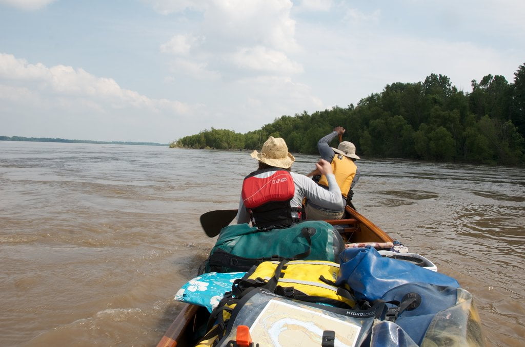
Leaving Caruthersville the paddler can make the best mileage staying main channel and following the strongest currents downriver, scooting under the Caruthersville Bridge and continuing on hard paddling for points downstream. You will certainly cover the most miles. But you will also miss most of the wildlife and close-up views of the beavers and the big trees — and the gentle pleasures of the back channel; not to mention the best picnic sites and most secluded sandbars for camping.
During low water, there is no choice, you almost always have to stay main channel. (The Rivergator will let you when there are back channels open in low water). But as the river rises opportunities also arise for backwater paddling. At medium water some channels open. At high water most channels are open. At flood stage all possible channels will be open and the river will be purring along happy as a fat cat purring lazily in the delta sun.
Around 15 CuG (on the Caruthersville Gauge) the water begins to pour over the dikes behind Caruthersville-Linwood Bend and by 30 feet there is a strong flow. Hug the right bank for beaver and river otter sightings and possible views of the American bald eagle. There are several bald eagle nests built in the high forks of some of the big trees along this bend. If you scrutinize the horizon downstream and eastward into Tennessee you might discern a last layer of trees far off in the distance which rise a little higher than the rest. This is the Loess bluffs of Western Tennessee which parallel the big river and make their presence known in several locations further downstream, most notably with the legendary four Chickasaw Bluffs.
At medium water you will find generous sandbars behind Caruthersville-Linwood Bend but by high water (around 25) they will all be covered. Watch for snags and piles of driftwood as you float along. There is a large bluehole just over the bank RBD at 843 but unfortunately a log cabin style private lodge has been erected nearby downstream, which most certainly means the blue hole is private property. If you stay right bank all of the way around the bend you will float over a series of 10 dikes, each with its own turbulence and eddies and boiling waters. Keep as close or as far out as your time allows. As you come around the bend you will be facing the hulking monolith of the Caruthersville Bridge.


Leave A Comment
You must be logged in to post a comment.