The Lower Mississippi River Water Trail
LBD 773.5 Lower Hatchie National Wildlife Refuge
Lower Hatchie NWR sits along the lower 17 miles of the Hatchie River in western Tennessee. Unlike most Mississippi River tributaries that have been straightened and levees constructed for flood control, the Hatchie River remains the longest continuous stretch of naturally meandering river in the lower Mississippi River Valley. As result, wildlife and fisheries thrive in its almost pristine watershed ecosystems. The refuge helps protect and enhance the ever diminishing bottomland hardwood forests, along with other important habitats within the Hatchie River watershed. The refuge currently comprises 9,451 acres although there is an expansion proposal that would increase protected bottomlands ten-fold. This is an ambitious but worthy effort to preserve what remains of the wetlands found along the Hatchie.
Lower Hatchie NWR is unique in many different aspects; one of which is that it encompasses the bulk of the remaining bottomland hardwood forests along the banks of the lower 17 miles of the Hatchie River. It is a very significant landholding for conservation and management along the Mississippi Flyway within the Lower Mississippi River Alluvial Valley floodplain. The Hatchie River bisects the refuge and flows into the Mississippi River at the westernmost point of the refuge boundary. Thus, the majority of refuge lands make up a significant portion of the Hatchie and Mississippi Rivers’ floodplain in rural western Tennessee. Primary habitat types on the refuge include 5,852 acres of bottomland hardwood forest, 887 acres of marshlands, 750 acres of croplands, 119 acres of lakes/open water, 388 acres of upland forest, 89 acres of grasslands, and an additional 1,300 acres of bottomland and upland areas that have been reforested. The area is home to hundreds of wildlife species including bald eagles, Mississippi kites, wild turkey, neotropical songbirds, waterfowl, shorebirds, as well as numerous species of mammals, reptiles, amphibians, fish, birds, and insects.
More than 7,500 acres of forested habitats, including cypress/tupelo swamps, bottomland hardwoods, and upland hardwoods are managed through timber stand improvements and reforestation to benefit wildlife and mimic historical forest ecosystems.
LBD 771-772 Angelo Towhead
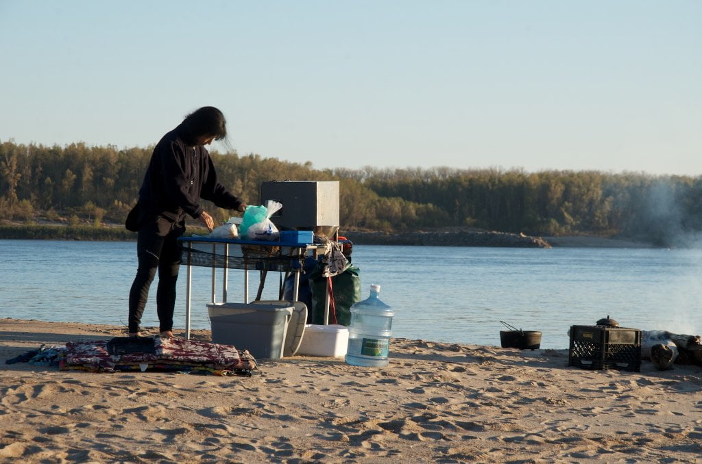
Surrounded by the Randolph Bluffs on one side and the Mississippi River on the other, Angelo Towhead is a low-slung heap of sand and gravel that changes with every high water, sometimes there are giant piles of sand on one side of the dikes, sometimes there are none. Angelo has an otherworldly, moonlike quality to it. Disappears completely in high water. Makes for a good picnic site if you can find sand, but not recommended for camping due to its exposure to the elements.
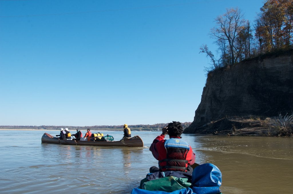
At medium water levels and higher you can sneak behind Angelo Towhead by staying LBD and then drop into the Chute behind the next island down, a low forested island topped with thick willows, and follow the gentle flow at the base of the 2nd Chickasaw Bluff for the best close-up views of its spectrum of colors and raw earth.

Leave A Comment
You must be logged in to post a comment.