The Lower Mississippi River Water Trail

Alternate Paddler’s Routes around Hatchie River & 2nd Chickasaw Bluff:

1) Sunrise Towhead/Island 34

2) Secret Shortcut to Hatchie River

3) Secret Channel at base of 2nd Chickasaw Bluff


Go to Google Maps for details:


https://maps.google.com/maps/ms?msid=217859314001592865582.0004e43b9caf62288b9d1&msa=0&ll=35.564071,-89.919834&spn=0.172596,0.225391

http://goo.gl/maps/CyJZt


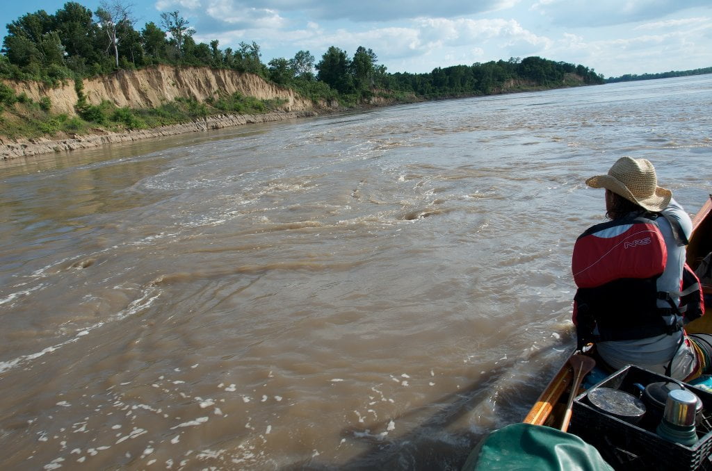
There are several choices for paddling routes around the mouth of the Hatchie River and the 2nd Chickasaw Bluff, including the beautiful back channel of Sunrise Towhead, but they all depend on water level. See below for details. 


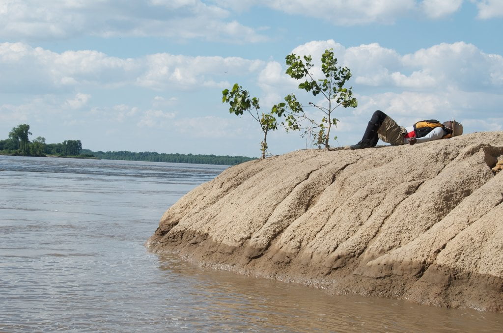
RBD 778-773 Sunrise Towhead – Island 34

Giant privately-owned island whose top end begins almost directly opposite the base of the First Chickasaw Bluff.  At low water possible campsites emerge from the muddy sandy lowlands near RBD 777-778, these quickly disappear as the river rises.  By medium water there will be a noticeable flow into its back channel.  Paddlers can enjoy a scenic back channel experience without obstruction at medium water (15 foot Caruthersville Gauge) or above.  At high water (above 25 feet) you can add on several more miles of backwater exploration by going far right around a small island mid-channel 2 miles down the Chute of Sunrise Towhead and include the back channel of Island 34 in your foray, but be prepared for possible dangerous strainer and/or necessary portage over the low bridge crossing 2 miles down Island 34.  Stop and Scout before running any questionable water hazard.  Sunrise Towhead Back Channel returns you to the river opposite the mouth of the Hatchie River, you will have paddled approximately 7 miles for 5 miles of main channel distance.  If you opt for going behind Island 34 you will need to paddle an additional 5 miles before making a return, but stay RBD as long as you can and you will rejoin the main channel opposite the towering heights of the 2nd Chickasaw Bluff.


LBD 777-773.5 Hatchie Towhead

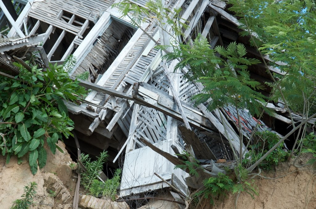
3 mile long towhead good only in low or medium water conditions, goes completely under around 25 CuG.  During low water the Hatchie Towhead extends all the way up to the base of the 1st Chickasaw Bluff and can be possibly accessed via Tennessee 87, which dead ends at the river here.  Popular fishing spot at low water.  Several years ago, in the late 2010s, a coal barge wrecked against along the shoals of the 1st Chickasaw Bluff and discharged its cargo which washed up on every sandbar and towhead downstream, most prominently at the top end of the Hatchie Bar. 


During high water delightful secret channel opens up at the rear of Hatchie Bar.  Paddlers can access the last mile of the Hatchie River through this hidden channel which cuts directly into the woods river left near LBD mile 775.  The river must be around 30 Caruthersville (or 25 Memphis).  Follow this narrow channel approximately half mile through willow/cottonwood forests into Hatchie NWR and then into the main channel of the Hatchie itself.  Bear right and follow the Hatchie one mile down to its confluence with the Mississippi.

Leave A Comment

SECTION MILE ACCESS CITY
Middle Mississippi & Bluegrass Hills / Bootheel 195-0, 954-850 ST. LOUIS TO CARUTHERSVILLE
Chickasaw Bluffs 850 – 737 CARUTHERSVILLE TO MEMPHIS
Introduction  
Caruthersville to Osceola
850 – 737 LBD Options for Paddlers in the Caruthersville Stretch
Above Caruthersville  
Below Caruthersville  
850 RBD Caruthersville Harbor Boat Ramp (1/2 Mile Up Harbor)
849 RBD Mouth of the Carutherville Harbor
849 RBD Trinity Barge Fabrication Plant
847 RBD Blaker Towhead
846.5 Caruthersville
846 RBD Isle of Capri/Lady Luck Casino and Casino Inn Suites
845 – 840 LBD Caruthersville – Linwood Bend
850 RBD – 840 LBD Day Trip: Caruthersville to Booth’s Point
840 LBD Linwood Bend Boat Ramp
839 Caruthersville Bridge
Bridges and Mud: How Deep is the Mississippi Mud  
Several Routes Around Islands 18, 20 and 21  
838 – 835 LBD Island 18 Towhead
829 – 832 RBD Island 20 Dikes and Towhead
823 – 829 LBD Island 21
Routes for the Paddler Around Tamm/Barfield Bends  
820 – 815 RBD Wright’s Point – Tamm Bend
819.3 LBD Mouth of the Obion River
Moss Island WMA  
817.7 LBD Tamm’s Landing and Ed Jones Boat Ramp
817.7 – 801.8 LBD Chickasaw National Wildlife Refuge
No Levee?  
814 LBD Nebraska Landing
815 – 805 LBD Barfield Bend
809.3 RBD Barfield Boat Ramp
806 RBD Tomato Arkansas
805 – 801 RBD Island 25
Paddler’s Options in the Island 30 – Osceola Area  
800 – 796.5 RBD Island 26 and Forked Deer Island 27
803 – 787 RBD Ashport-Keyes Gold Dust
796 – 791 RBD Ashport Gold Dust Dikes
797 LBD Shoaf Landing
797 LBD Lower Forked Deer River
796 LBD Ashport-Keyes Boat Ramp
793 – 785 RBD Island 30
796 LBD Ashport-Keyes Boat Ramp
Neark (Jacksonville) Landing  
786.5 LBD Back Channel Island 30
785 RBD Osceola Arkansas
783.5 RBD Sans Souci Boat Ramp
Osceola to Shelby Forest
785 RBD Osceola Arkansas
783.5 RBD Sans Souci Boat Ramp
782 LBD Driver Island
779.8 LBD Old Mouth of the Forked Deer
779 – 778 LBD First Chickasaw Bluff
Alternate Paddler’s Route Around Hatchie River & 2nd Chickasaw Bluff  
778 – 773 RBD Sunrise Towhead – Island 34
777 – 773.5 LBD Hatchie Towhead
773.5 LBD Mouth of the Hatchie River
773.5 LBD Lower Hatchie National Wildlife Refugee
771 – 772 LBD Angelo Towhead
771 LBD Randolph Landing
771 – 769 LBD The Second Chickasaw Bluff (Richardson Bluff)
768.9 LBD Richardson’s Landing
768 LBD Randolph’s Landing/Duvall’s Boat Ramp
766 – 763 LBD Below Richardson’s Landing Dikes and Bar
Dyess Arkansas, Birthplace of Johnny Cash’s Five Feet High and Rising  
Five Feet High and Rising  
767.6 – 761.5 RBD Island 35
767 RBD Island 35 Boat Ramp
Back Channels of Island 35  
767.6 RBD Entrance
761.5 RBD Exit Behind Dean Isand
Memphis Gage  
Dikes and Water Levels  
Reading Google Maps  
761.5 – 757 RBD Dean Isand
761.5 – 757 RBD Back Channel of Dean Isand
Third Chickasaw Bluff  
758 – 754 LBD Denseford Bar and Dikes/Hen and Chicks
752.7 LBD Shelby Forest Boat Ramp
Shelby Forest to Memphis
Memphis Gage  
Dikes and Water Levels  
752.7 LBD Shelby Forest Boat Ramp
Hen & Chicks Round Trip  
754 – 745 LBD Meeman Shelby Forest State Park
754 – 747.5 RBD Back Channel of Brandywine Island
Buoys and Dikes  
Paddling Into Memphis: Three Distinct Routes  
749 – 742 LBD Hickman Bar
Picknicking and Camping on Hickman  
746 LBD Upper Hickman
745 LBD Middle Hickman
744 LBD Lower Hickman
743 LBD Below Lower Hickman
740.6 LBD Loosahatchie River
743.5 – 740 LBD Redman Point Bar
Memphis Upper Waswater Treatment Plant  
M.C. Stiles Waterwater Treatment Facility  
739 LBD Conoco Lucy-Woodstock Memphis Chemical Terminal Dock
740.6 LBD Wolf River
738.4 LBD Mud Island Upper Boat Ramp
740 – 737.5 Loosahatchie Bar
737.5 Ferry Crossing to Memphis From the Bottom of Loosahatchie Bar
737 Memphis “M” Bridge (Hernando De Soto Bridge)
736 LBD 4th Chickasaw Bluff: Memphis
736 LBD Memphis Mud Island Harbor
Mud Island Riverpark & Museum  
Memphis Yatch Club Marina & Boat Ramp  
Coast Guard Boat Ramp  
Memphis Conveniences Useful to Paddlers  
Several Challenging Round-trips From Memphis  
The Lossahatchie Redman Figure-Eight  
The Loosahatchie Roundtrip  
Hickman Bar Roundtrip  
Upper Delta 737 – 663 MEMPHIS TO HELENA
Middle Delta 663 – 537 HELENA TO GREENVILLE
Lower Delta 537 – 437 GREENVILLE TO VICKSBURG
Loess Bluffs 437 – 225 VICKSBURG TO BATON ROUGE
Atchafalaya River 159 – 0 SIMMESPORT TO MORGAN CITY
Louisiana Delta 229 – 10 BATON ROUGE TO VENICE
Birdsfoot Delta 10 – 0 VENICE TO GULF OF MEXICO