The Lower Mississippi River Water Trail
RBD 767 Island 35 Boat Ramp
Abandoned ramp. No access. Island has been privatized by landowners in an exclusive hunting club. On river’s edge you might notice an off-white ramshackle dwelling whose porch is collapsing over the rip-rap just upstream of landing. This is the site of a legendary honky-tonk (now closed) where wild clientele could carry-on their bacchanals and other decadences at all hours of the night straight through ‘til sunrise — with no fear of repercussion since the Tipton County Sheriff would have to drive three hours to reach! Island 35 is a piece of Tennessee migrated to the Arkansas side of the river.
Back Channel of Island 35
Entrance RBD 767.6
Exit Behind Dean Island RBD 761.5
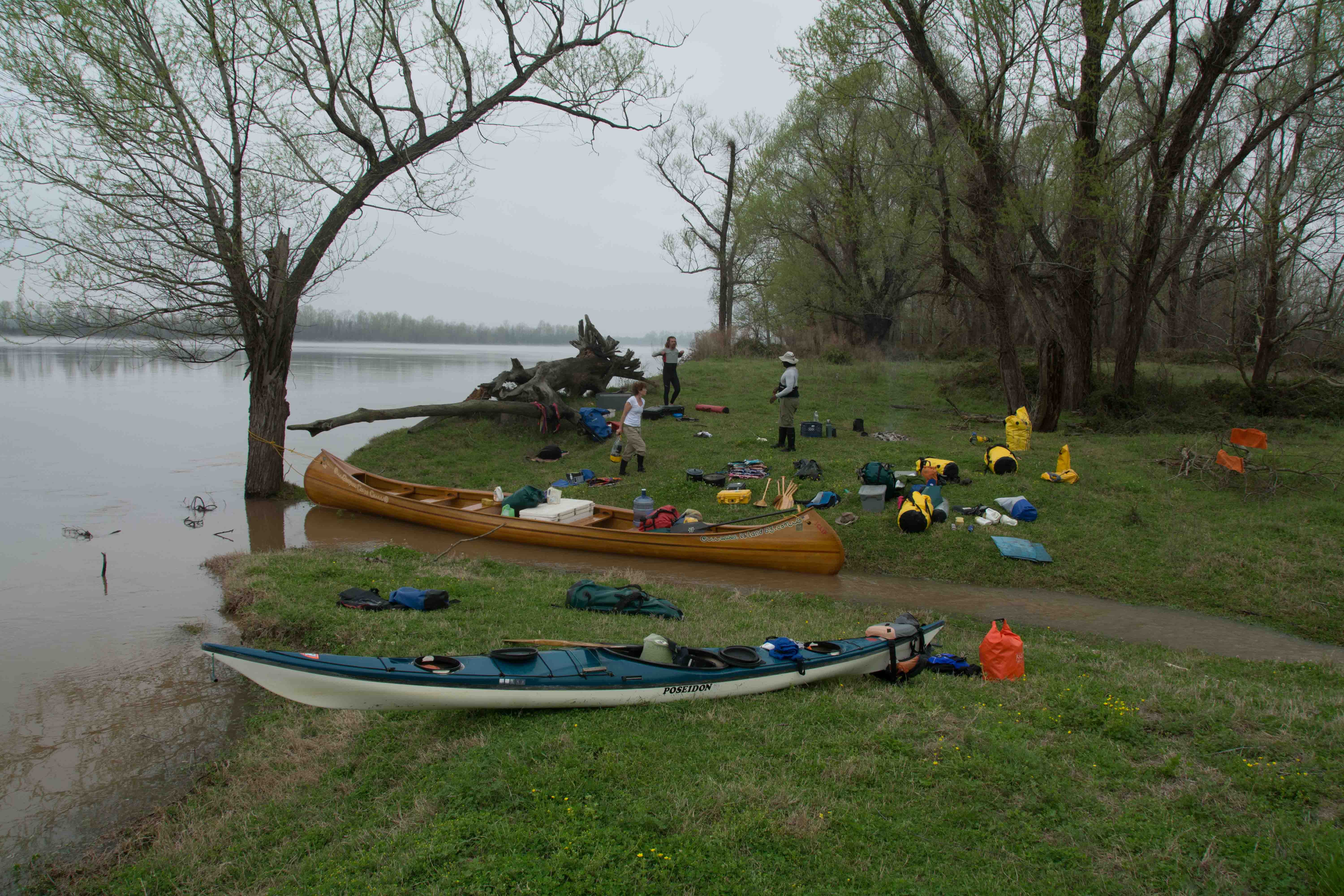
An unusually long back channel can be accessed here for the adventuresome canoeist or kayaker if the river is high and you are ready for an extended run on old river channels. You will have to paddle twice the distance (16 miles) than you would on the main channel (8 miles), and in much slower water. Is it worth it? Are you prepared for a difficult (and potentially hazardous) portage? Do you want to see wildlife and trees? If yes then it’s probably worth it. But be forewarned: you will probably have to portage over a giant log jam which has accumulated at a low bridge six miles downstream! Using the Caruthersville Gauge: Below 20 No flow. 25 slow flow. 30 gentle flow. 35 good flow. 40 strong flow, bridge submerged.
After leaving the Second Chickasaw Bluff at Richardson go right bank descending, if necessary with a strong ferry crossing. The main channel of the river gets concentrated and explodes fast and furious past the 2nd Chickasaw Bluff in a powerful downstream tongue. Stay RBD until the Island 35 Back Channel opens up and then dive in going due north. If you see good flow going in, there will be good flow throughout. The channel enters swiftly through a couple of tight bends crowded by tall hardwoods (a mixture of willows, cottonwoods, sycamores and silver maples) and then relaxes as it curves northwestward into a series of long open channels with scattered views back into more forests and isolated fields and grassy hunting plots in between. Watch for turtles and snakes on sunny days, and birds of prey. Eventually the Arkansas levee comes in from the right, as the channel becomes westerly. Curiously, there are many dead big cottonwoods standing RBD bone-white, dry and denuded of bark like ghostly druid giants along the channel and seen over bank by the levee (but only the big trees, the young trees and vegetation are all looking strong & healthy). What caused the demise of these green giants is a question to ponder as you paddle along the endless lengths of back channel.


Leave A Comment
You must be logged in to post a comment.