The Lower Mississippi River Water Trail
The Loosahatchie Roundtrip
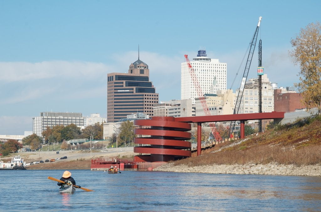
12 miles (from Yacht Club)
Very difficult 12 mile round trip around the Loosahatchie Bar from the Boat Ramp at the Memphis Yacht Club. Could also be done from Coast Guard Boat Launch. Twelve miles. Lots of fast water, strainers, snags, sawyers, flooded forests, roaring shoals, violent eddies, powerful boils, strong whirlpools, towboats, pleasure boats, docks, buoys, and other hazards. You will need to make 3 ferry crossings, 5 dike crossings, and 6-mile long upstream crawl to complete this loop.
Paddle out Mud Island Harbor. Check carefully upstream and down for any approaching tows (and wait if any in view). Make strong ferry crossing to Hopefield Point and crawl upstream along bank using eddies wherever possible for footing, up under I-40 and well into the back channel of the Loosahatchie Bar (5 dike crossings). Ferry over to island and then crawl up backside to top of island. Check again for traffic and then make another strong ferry crossing towards oil refinery, then turn downstream and float past the mouth of the Wolf, under M Bridge and back into harbor.
For expert paddlers only! Must be well trained in self-rescue. Also, the river must be above 15 on the Memphis Gauge to make all of the crossings over back channel dikes. Wear wetsuit in cold water (Nov – April) and stash phone and emergency gear in dry bag or dry box. Difficult at medium water, extremely difficult at high water. Do not attempt at flood stage. Be prepared for turbulent swift water conditions, strainers, snags, sawyers, flooded forests, roaring shoals, violent eddies, powerful boils, strong whirlpools, towboats, pleasure boats, docks, buoys, and other hazards. You will need to make 17 dike crossings, 2 ferry crossings, and a very long & challenging 10-12 mile upstream crawl to complete this loop.

Leave A Comment
You must be logged in to post a comment.