The Lower Mississippi River Water Trail
RBD 597.5 – 580 Big Island
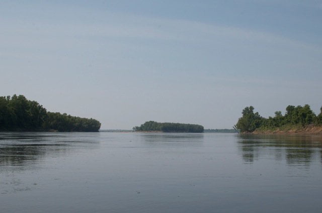
The Mississippi runs along the Eastern edge of Big Island all of the way from the mouth of the White RIver to the Arkansas River Confluence, so you might as well make friends, — it will be your right bank shoreline companion for the next seventeen miles! 20,000 acre island privately owned hunting camps and frequently logged for its valuable timber. Historic homeland of the Quapaw Nation, once the largest and most powerful native population in this section of the Lower Mississippi. Visited by John James Audubon, Mark Twain, and once a thriving den of river pirates and moonshiners. As a healthy vibrant no-man’s land Big Island has been the getaway of choice for anyone avoiding the law — as well as dreamers seeking to escape the confines of civilization. Its northern boundary is defined by the White, its Western by the Arkansas, its Eastern by the Mississippi. The Southern end narrows down to a large sandbar island at the confluence of the Mississippi and Arkansas rivers called the Arkansas Bar. It is the natural exit for the White River National Wildlife Refuge. Taken together they provide a rich forested corridor for migrating birds and mammals alike, broken only by bayous and the big rivers.
Big Island is truly a spectacular natural phenomena, a landscape cut by, flooded by and defined by three big rivers. If river rats have a heaven (and this is debatable) Big Island is it. If the Louisiana Black Bear needed to find a hollow log for hibernation, it would be found on Big Island. If wild pigs could choose their ideal range, Big Island would be it. If the Ivory Billed Woodpecker has returned to life (as many would maintain), it would be found deep in the woods of Big Island. If any one place deserves attention as a place that needs future attention for conservation along the Lower Mississippi, this is it.
Paddlers have many choices in getting around Big Island. Downstreamers can stay main channel all of the way around its Eastern perimeter. But there are two sporty choices that will definitely add to the dynamics of your journey: 1) Cut up the White River 5 miles, portage over to the Arkansas River and paddle 28 miles down the Arkansas back to the Mississippi; and 2) Follow the Old Channel of the White in between Big Island and Montgomery Island. The first is for hardened voyageurs only, paddlers capable of a grueling portage and capable of orientation through swamps & woods. The second is a delightful nine-mile long side channel through the Old White River that is a stand-out opportunity and requires no special ability. If long distance paddlers had to choose just one back channel to explore and get the feel of the Mississippi as it used to be before channelization, rip-rap, dikes & revetment, the Old Channel of the White would be it. Keep reading below.
596-594 Victoria Bend
If you are on a time schedule or don’t feel like exploring the back channel, follow the strong flow of water out of Scrubgrass Bend as it issues forth running almost due East for several miles until forced Southward by the elbow shaped Victoria Bend. You could stay LBD descending through this whole section and have fast water all the way around Victoria Bend past Terrene Landing LBD 592.1. At low water an interesting sand bar emerges from the Montgomery Bend Dikes RBD 596-594 in a series of big bars, highly sculpted by every highwater, sometimes topped with scattered gravel bars, and oftentimes sparkling blue holes are formed below the dikes. Good pull-over place if you are running RBD.
LBD 592.1 Terrene Landing
After making your crossing around Victoria Bend choose a line of travel down the Mississippi shore LBD. Two miles out of the bend you will see several mansions along the bank. Past the second one, a blocky two-story affair is a wide concrete ramp. This is a private ramp called Waxhaw Landing built by the US Army Corps for construction of the Montgomery Point Lock & Dam. Now privatized, do not make landing. The owners are not known to be paddler friendly. Terrene Landing is a hundred yards downstream. This steep narrow concrete ramp needs to be replaced but for now its the only option for paddlers needing access above Rosedale. The muddy parking lot above is subject to flooding and is notorious for break-ins. Do not leave your vehicle here under any circumstance. Arrange a shuttle if needed. Its a three-mile walk into Rosedale.
Note: If you need resupply your other options are 1) Great River Road State Park LBD 590-588 which (depending on river level) might be a two mile walk into town and 2) the Rosedale Harbor LBD 584.5 which involves a two-mile paddle up the slackwater harbor and then a two-mile walk into town. As you surely know by now, they never made it easy on the river-rat!


Leave A Comment
You must be logged in to post a comment.