The Lower Mississippi River Water Trail

Addendum: take-out in Greenville, or Lake Village

[CLICK HERE: Map of Paddling into Greenville]

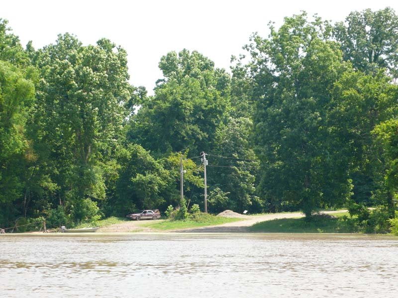
Some paddlers might find it more convenient to take-out on the Mississippi side of the river (as opposed to ending on the Arkansas side in Arkansas City).  Continue downstream from Choctaw Island around Choctaw Bend past Huntington Point, around right-angle elbow Yellow Bend through the Ashbrook Cut-off.  (The Arkansas City Gage that we have been using for this section of river is located RBD 544 in Yellow Bend).  If you have an extra day you might want to jump into the Old Channel of the Greenville Bends, a fantastic 20+ mile detour through deep woods down a meandering back channel with high muddy banks, birds and prolific wildlife.  Start cutting in to the massive opening seen RBD below mile 555.  If you don’t have enough river time, stay main channel on around Miller Bend through Tarpley and Leland Neck Cut-Offs.  For take-out in Greenville start approaching the left descending bank as you float into the Leland Cut-Off mile 539 being ever-vigilant for busy tow activity in this area.  Cut into slackwater harbor below last point of land 537.5 and cross over to south side to locate the narrow entry into the County Boat Ramp located within Warfield Point State Park. If the river’s high the State Park might be closed.   You will have to paddle approximately 5 more miles up the Greenville Harbor to the Greenville Boat Ramp which is on the levee next to the Greenville Casino.  Or you can continue 6 miles down the main channel past Warfield Point around Walker Bend.  As you come around this right-angle bend slide over to the Arkansas shore RBD for take-out at the Sunnyside Landing RBD 531.5 which is located within a small cut-out eddy a couple hundred yards upstream of the old Highway 82 Bridge.  Do not go to the new bridge!  (Or you will have gone too far!).  Now that the new bridge is completed and the old bridge is being dismantled there is rumor that Sunnyside Landing might become privatized by a local hunting club.  This would be disastrous for paddlers in the Greenville area, or any long distance paddlers on their way through.  Sunnyside at present is the only landing that has guaranteed access to the main channel of the river regardless of river level for dozens of miles upstream and the same downstream.


Best Campsites Along lower mississippi water trail

End of the Trail 

Choctaw Island marks the southern terminus of the introductory 104 mile section of the Lower Mississippi River Water Trail from northern end Buck Island.  I decided to start here with the wildest and most beautiful section of the river.  Later, after this section is made into a reality, I will continue adding sections until the entire Lower Mississippi River is completely covered with good descriptions for paddlers to safely and successfully enjoy the biggest and greatest river in North America, including (from top to bottom):


Missouri Bootheel: Cairo to Caruthersville

Chickasaw Bluffs: Osceola to Memphis

Upper Delta: Memphis to Helena

Middle Delta: Buck Island to Choctaw Island

Lower Delta: Choctaw Island to Vicksburg

Loess Bluffs: Vicksburg to Baton Rouge

Chemical Corridor: Baton Rouge to Venice

Birdsfoot Delta: Venice to the Gulf


With expanded sections describing the paddling in and around Memphis, Greenville, Vicksburg and Natchez.

CLICK HERE for the next section

Leave A Comment

SECTION MILE ACCESS CITY
Middle Mississippi & Bluegrass Hills / Bootheel 195-0, 954-850 ST. LOUIS TO CARUTHERSVILLE
Chickasaw Bluffs 850 – 737 CARUTHERSVILLE TO MEMPHIS
Upper Delta 737 – 663 MEMPHIS TO HELENA
Middle Delta 663 – 537 HELENA TO GREENVILLE
St. Francis to Helena
652.5 LBD Friars Point Landing (Unimproved)
652 – 650 LBD Friars Point Island
671 – 673 LBD St. Francis Bar
670 LBD St. Francis Dikes
669 LBD Flower Lake Dikes
668 RBD (A View Of) Crowley’s Ridge
668 – 663 RBD Buck Island (Prairie Point Towhead)
665.5 LBD Trotter’s Pass
663 RBD Helena Harbor
Helena Boat Ramps  
663 RBD Helena-West Helena
Quapaw Canoe Company – Helena Outpost  
661 Helena Bridge (Hernando De Soto Bridge – US HWY 49)
657 Yazoo Pass
Helena to Island 63
663 LBD Leaving Helena Harbor
Fleeted Barges  
Small Towns in Harbors  
Buoys and Other Stationary Objects  
Highlights of Civilizations  
Wild Miles  
Pollution Within the Helena Industrial Reach  
661.6 Helena Bridge (Hernando De Soto Bridge – US HWY 49)
657 LBD Yazoo Pass
How to Get Into the Old Entrance of the Yazoo Pass  
LBD Alternate Route to Vicksburg: Yazoo Pass
Yazoo Pass Mileage  
Rivers & Robert Johnson  
656 LBD East Motezuma Bar
657 – 654 RBD Montezuma Towhead
654.7 LBD Montezuma Landing
Shuttle Route Montezuma to Clarksdale  
652 LBD Friars Point
652.5 LBD Friars Point Landing (Unimproved)
652 – 650 LBD Friars Point Island
Beavers on the Lower Mississippi River  
652.2 RBD Kangaroo Point
648 LBD Horseshoe
646 – 649 RBD Dewberry Island 61
646 – 642 Old Town Bend
641 – 635 LBD Island 62
640.5 – 637 LBD Island 63
640.5 LBD Entrance to Top End of Island 63 Chute
637.5 LBD Entrance Into Bottom End of Island 63 Chute
637 LBD Back Channel Island 63
Quapaw Landing  
Clarksdale  
Island 63 to Hurricane
Muddy Waters Wilderness  
637 LBD Back Channel Island 63
Quapaw Landing  
Old Levee at Quapaw  
Levee Break Below Quapaw Landing  
Great Flood of 2011  
637.5 LBD Island 63 Chute
636 LBD Burke’s Point
The Flanking Maneuver  
634 RBD Modoc Old River Lake
632 LBD Robson Towhead
632.5 RBD Fair Landing
Jackson Cutoff  
Sunflower Cutoff  
625.6 RBD Mouth of the Mellwood Lake
624 – 627 LBD Sunflower Dikes
Diving Duck  
624.5 LBD Mouth of De Soto Lake
621 – 624 LBD Jug Harris Towhead
620.8 RBD Mouth of the Chute of Island 68
619 – 621 LBD Island 68
619 – 621 LBD Island 67
619.6 BD Wood Cottage
620 – 617 RBD Old Levee at Knowlton
616 LBD Knowlton Crevasse
619 – 609 RBD Island 69
615.5 RBD Island 69 Old Back Channel
616 – 614 LBD Cession’s Towhead
610 LBD Hurricane Pint (Dennis Landing)
Hurricane to Rosedale
605 – 610 LBD Island 70
The River Mirage Effect  
604 – 601 LBD Henrico Sandbar
603 – 597 Scrubgrass Bend
601.5 – 598 LBD Smith Point Sandbar
600.5 LBD Entrance
598 LBD Exit
Secret Channel Behind Smith Point Sandbar  
599 RBD Mouth of the White River
The White River  
Montgomery Point Lock & Dam  
At the Mouth of the White River  
How Does a Lock Work?  
Arkansas River: Little Rock, Fort Smith, Tulsa  
White River National Wildlife Refuge  
597.5 – 580 RBD Big Island
596 – 594 Victoria Bend
592.1 LBD Terrence Landing
597.5 RBD Entrance
591 LBD Exit
RBD Near Mile 3 of the Old Channel of the White  
Wreck of the Victor?  
Old Channel of the White  
Arkansas City Gage (AG)  
591 – 587 LBD Great River Road State Park
587 – 584.5 LBD Malone Field (Barge Fleeting Area)
594.5 LBD Mouth of the Rosedale Harbor
Rosedale Harbor  
Rosedale, Mississippi  
Rosedale to Arkansas City
Arkansas City Gage  
585 – 580 RBD Arkansas Bar
580 RBD Arkansas River
Paddling Past the Mouth of the Arkansas  
A Detour Up & Down the Arkansas  
Island Hopping  
The Floating Sensation  
Circumnavigation of the Big Island (52 Miles; 5-7 Days)  
Below the Arkansas Confluence  
581 – 576 LBD Prentiss Sandbar
578.4 RBD Napoleon Light
574.5 LBD Mouth of Lake Whittington
575.8 RBD Caulk Eddy
575 – 572.5 RBD Caulk Neck Bar
576 – 572 Caulk Neck Cutoff
572 – 567 Cypress Bend
Cypress Bend – Pallid Sturgeon  
571 – 567 Catfish Point Bar
568 RBD Chicot Landing
Reading Google Maps  
Approaching Choctaw Island  
Choctaw Island Geomorphology  
564 – 558 Chocktaw Bar Island
Note on Low-Water Camping  
Arkansas City Boat Ramp  
561.7 LBD Easton Landing – Mounds Boat Ramp
560.5 LBD Mounds Landing
Addendum: Take-Out in Greenville or Lake Village  
Best Campsites Along the Lower Mississippi Water Trail  
End of Trail  
Lower Delta 537 – 437 GREENVILLE TO VICKSBURG
Loess Bluffs 437 – 225 VICKSBURG TO BATON ROUGE
Atchafalaya River 159 – 0 SIMMESPORT TO MORGAN CITY
Louisiana Delta 229 – 10 BATON ROUGE TO VENICE
Birdsfoot Delta 10 – 0 VENICE TO GULF OF MEXICO