The Lower Mississippi River Water Trail
671-673 LBD St. Francis Bar
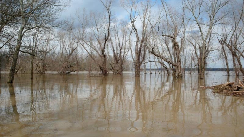
Created by historic flooding of the St. Francis River, the St. Francis Bar is a perennial sandbar that varies from a mile long at low water, to half a mile at medium water, and is completely submerged during high water (goes under around HG37). Beautiful picnic site, and good swimming off its white sand beaches. [CLICK HERE: Safe Swimming] Watch out for nesting least tern April through June.
670 LBD St. Francis Dikes
669 LBD Flower Lake Dikes
Above 20HG (medium water) you can paddle behind several narrow islands found on the Mississippi shoreline left bank descending which are formed over the St. Francis and Flower Lake Dikes. Stay LBD and paddle hard to cut into the narrow openings leading behind these islands for reprieve from the wind and towboat traffic and gain some relief from the vast & sometimes overwhelming hugeness of the main channel. Simultaneously enjoy some close up views of wildlife and the forests found in this area. Possible camping on dunes which accumulate on these islands, especially at the bottom end of the Flower Lake Dikes Island, near Mile 668. Only accessible during Medium to High Water. During Low Water a tall rip-rap rock dike emerges which forms a solid wall almost a mile long, and this prevents paddlers from reaching the Mississippi LBD shore. However, at the end of this long rock wall you can eddy around the backside and gain landing in a completely protected harbor formed by the same wall. Landing here is possible for a picnic, rest, or a creative campsite within this strange & inspiring river-scape.
668 RBD (a view of) Crowley’s Ridge
As you are approaching the top end of Buck Island you will be welcomed to the area with a grand view of Crowley’s Ridge. Helena is located at the Southern end of Crowley’s Ridge, Where the Ridge meets the River (still 7 miles downstream). Crowley’s Ridge is something of a geographic anomaly in an otherwise pancake flat floodplain. In geologic history the Mississippi once flowed on the other side of the ridge, the western side, and the Ohio commanded the eastern. They didn’t meet until downstream somewhere near present-day Vicksburg. St. Francis National Forest, the smallest forest in the National Forest system, straddles the last 30 miles of the ridge, and protects this strange landscape of steep ridges and viney tangled bottoms. Crowley’s Ridge runs north all the way up to the Missouri Ozarks, and provides high ground for the cities Marianna, Forest City and Jonesboro; and for the paddler significantly so at its southern terminus where sits the happy & dry city of Helena (keep reading…)
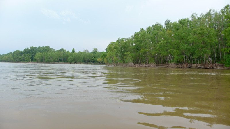
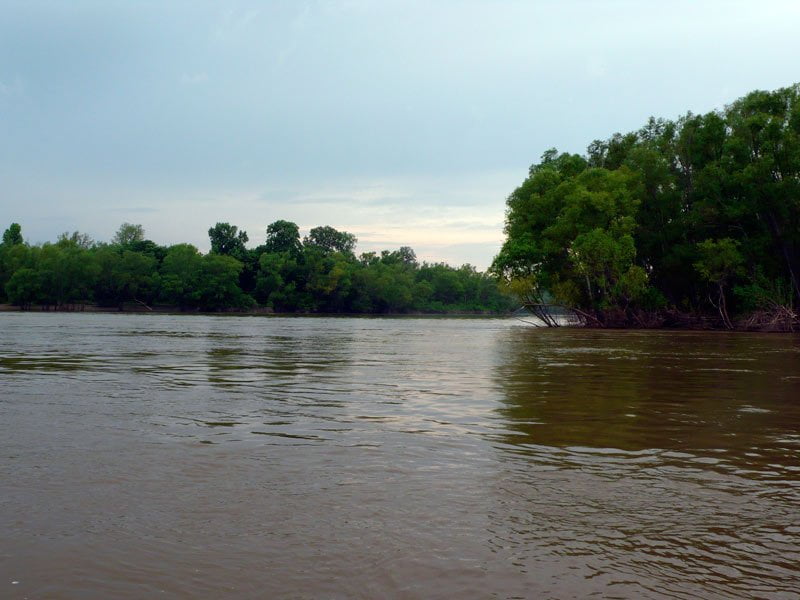
668-663 RBD Buck Island (Prairie Point Towhead)
Buck Island was saved from auction block by the American Land Conservancy in 2008 and is now protected by a permanent wetlands easement through the NRCS, which means that it will never be forested again, and our children will one day enjoy the big woods that used to predominate in the Mississippi Valley. Now managed by Arkansas Game & Fish, you can camp or picnic here, and hunt & fish.
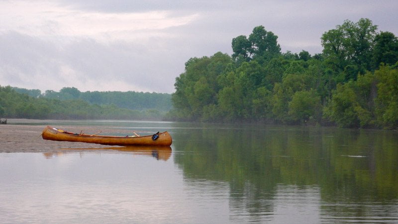
Buck Island is the best camping in the area. Good campsites can be found around perimeter of island on any of the sandy inlets or dunes, or other places with a good landing and natural refuge. During inclement weather seek shelter in or near the many stands of trees. If storms are in the forecast, chose a location with shelter from the approaching storms. Never locate a camp where you might get blown over by the fierce front-line winds that often precede severe thunderstorms. [CLICK HERE for more about Camping]. As with all islands on the Lower Mississippi River paddlers should practice the seven principals of Leave No Trace. [CLICK HERE for Leave no Trace].
Buck Island is a 1420 acre island with 880 acres of native forests and 620 acres of large white sand beaches at medium water, this grows to almost 3,000 acres of sand at the lowest of river levels. Of course, at high water there is no sand to be found (above 35 HG). Buck Island is a refuge and paradise for the long distance paddler because it is now a publicly owned island and you can camp and picnic on it without fear of cramping somebody’s hunting camp or private property of any sort. Furthermore Buck Island has five miles of hiking trails, and a three-mile side channel. These natural assets provide outstanding opportunities for wildlife viewing, camping, hiking, paddling, swimming, fishing, and eventually hunting, and also supports numerous wildlife species, including the endangered least tern, fat pocketbook mussel, and pallid sturgeon. The island is also a stop-over site along the Mississippi Flyway, used by 65 percent of North American migratory bird species. Buck Island is a one hour paddle from AGFC’s public boat ramp in Helena Harbor, making it easily accessible. The island has been highlighted in national publications including Canoe & Kayak Magazine, National Geographic Adventure, and ESPN Outdoors.com.
Leave A Comment
You must be logged in to post a comment.