The Lower Mississippi River Water Trail
Important Note to Paddlers:
The Lower Mississippi is not for beginners, although there a couple of side channel places that beginners can get a taste of the big waters (such as Mud Island Memphis Harbor, Tunica Lake, the mouth of the St. Francis and the Helena Harbor — and other protected flat water places connected to the big river — see page “Beginner Paddlers on the Lower Mississippi River”). Advance paddlers only in the main channel. You should be capable of self-rescue, and you should have previous big river experience, in specific: large volume waters with long crossings and industrial traffic (towboats). Your skills should include self-rescue, long ferry-crossings, paddling in the wind, paddling in the vicinity of towboats, paddling through violent boils, violent eddies, and large whirlpools. Ultimately you must decide whether you are capable of safely paddling the big river, and whether you are capable of leading your family or friends on the same. Be cautious. Take your time. Swallow your ambition and pride. Impatience has been the root cause of most problems encountered by Lower Mississippi River paddlers. Enjoy the moment, not the destination. Turn around if you aren’t sure or aren’t prepared. Use the Rivergator Safety section to assess specific skills and recommendations. Check the river levels and weather forecast with special attention to wind speed and direction. Carry extra food, water, and all-weather protection. Wear wetsuit or drysuit in cold water seasons (generally November through April, but could begin in October and could extend into May). Carry cell phone and VHF Marine radio. Carry an extra paddle and leave a route plan with someone on shore. Large groups can notify the Coast Guard who will keep the towboat pilots informed of your progress.
Your route: Main Channel vs. Back Channel
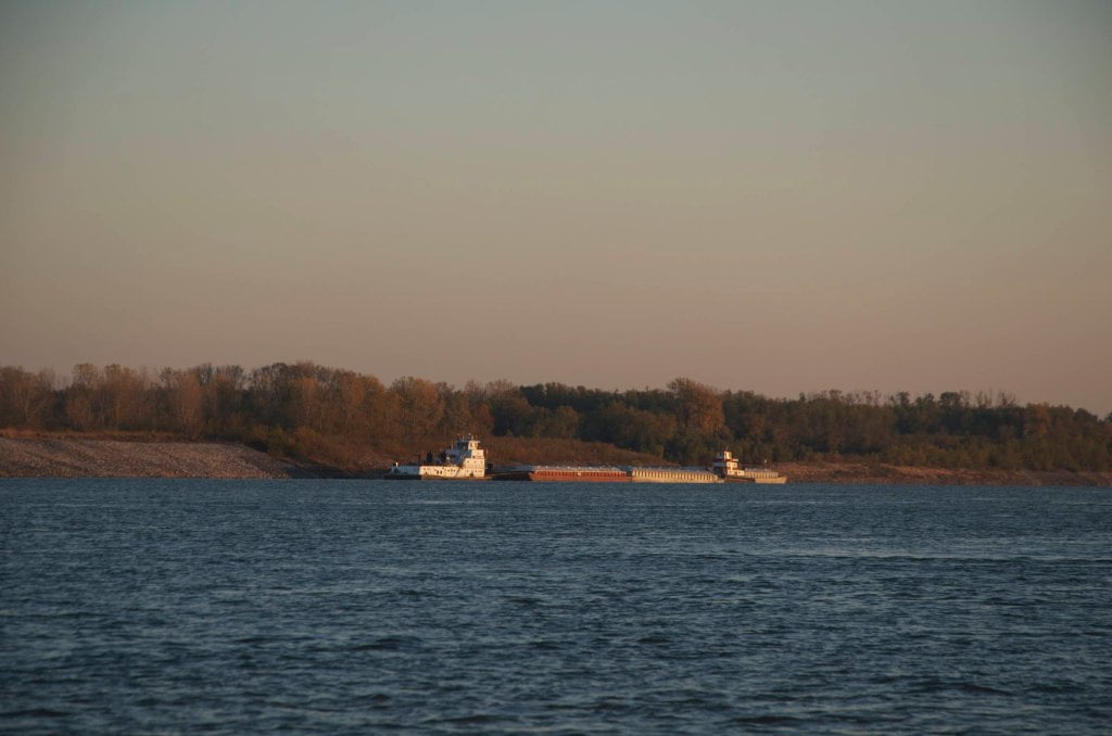
The Rivergator will detail Main Channel which is almost always the fastest route on the water, but full or traffic, and Back Channel, which is slower but is full of wildlife and big trees. Main channel is always open regardless of river level, but back channel is dependent upon river levels. Most back channels are closed in low water, open with slow flow in medium water, and full of strong flowing currents in high water. Main channel hazards are buoys and towboats. (Avoid both!). Dikes found on the edges of the main channel can cause violent turbulence, strong boils, eddies, and radical changes of current, and oftentimes whirlpools. Be especially cautious around the ends of any dikes. In the back channel your main hazards are waterfalls over dikes (dependent on river level), snags, strainers and channel blockages (driftwood piling against trees or low bridges). Rivergator will detail all known waterfalls and blockages. But on the river things are in constant flux. What one year is an uninterrupted flowing back channel might next year be blocked by a pile of logs and tree removal dropped by some logging operation. Two things: 1) be a smart paddler and use you own best judgment about what’s safe to paddle and what isn’t. And 2) let us know if you discover something of importance not listed in the Rivergator, like a dangerous waterfall or a blocked channel. That way we can update Rivergator descriptions and keep other paddlers informed about these difficulties and possible hazards! Dikes present special challenges to the back channel paddler. At low water they are exposed, and you can paddle around any dike, but you will often discover strong eddies with ripping cross currents and whirlpools. At medium water you can paddle over most dikes, but that is when the waters are at their most turbulent. You may not see any solid evidence, but you will know they are there by the exploding boils, whipping currents, whirlpools and agitated turbulence. In high water most dikes get swamped over by smooth flow and you hardly notice their influence. In medium water back channels waterfalls sometimes form over a dike, with significant drops (2-3 feet), strong v-line tongues, standing waves, and turbulent side waters. If you hear the sound of rushing water and see the plane of the back channel disappear and drop a level, and see leaping whitewater beyond — Be especially cautious! Remember the paddler’s mantra: when in doubt, stop and scout!
Leave A Comment
You must be logged in to post a comment.