The Lower Mississippi River Water Trail
Things can get complicated in a hurry. There might be a severe thunderstorm approaching from over the Arkansas Delta. You might be tired and hungry. You might be angry for some reason. You might have a person needing medical attention. The sun might have set and darkness is following soon behind. You might need to make a plane departure in three hours from the Memphis Airport. Any number of factors can lead to disaster, but experts say that disaster often strikes when the combination of many parallel factors gather and add onto each other. Any one of the factors taken alone would not lead to the disastrous result. But taken together it was almost inevitable. The lesson to learn here is to remove limiting factors. Before making the big leap (which ultimately is the only factor you can’t control – you’ve got to get across the main channel). Are you are hungry? stop and eat. Thirsty? stop and drink. Tired? stop and sleep. Angry? Figure out why and try to resolve. Storm coming? Let it pass. Darkness fell? Stop and camp. Continue the next day. Late for a flight? Let it go. Cold water? Put on your wetsuit. Choppy river? Tighten your life jacket and secure your canoe. Big Waves? Seal your sprayskirt to your kayak. Windy? Secure the extra paddle on your Stand up Paddleboard. Lastly, for God’s sake, put your smart phone away! Read this well before you make your crossing! Don’t be looking at Google maps or be reading these notes on your smart phone as you paddle! Removing any 3 or 4, or maybe even as few as 1 or 2 of your limiting factors will ensure a safe passage, whether it’s here at the bottom of the Loosahatchie Bar or tomorrow morning crossing under the lower bridge and heading towards President’s Island or any number of places downstream on the river where you should have complete attention to the task at hand.
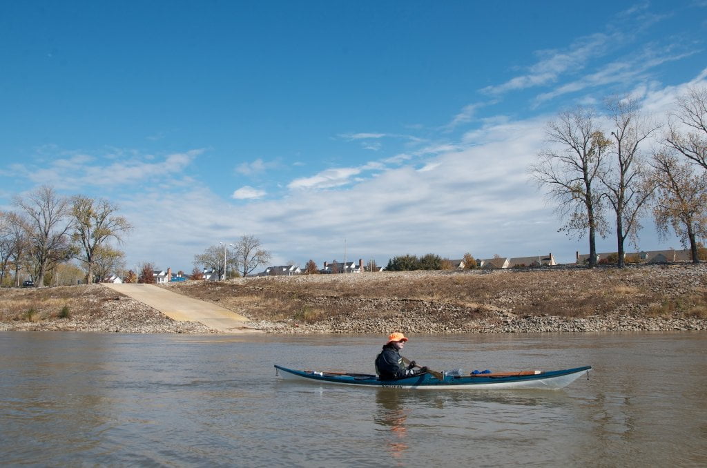
Look both ways before crossing. If the coast is clear ease your way into the channel by following the long dike below the Loosahatchie Bar. It will be exposed at medium water below 15MG and easily done since all of the water will be flowing outwards anyway. Go with the flow and use the currents to your advantage. Similarly you can use the power of the river at high water, this time by following below the dike. Even though you can’t see it, there will be the tell-tale curve of water and maelstrom of boils below. Point your canoe or kayak into the commotion and follow towards Memphis. It takes a fairly strong paddler to do this, but the advantage is clear: the water is not moving downstream amongst these boils. You will be pushed one way and then the other, but keep as best a line as you can, and after a while you will become familiar with the motion and work with it. Follow the commotion outwards towards the end of the dike, which should be marked by buoy. If the buoy has been blown out you can still see the end of the dike by the shape of it in the water, the end of the commotion of boils, and the smooth fast water beyond. Usually this is where the strongest boils and resulting whirlpools explode upwards and outwards and then swirl away downstream. So brace yourself, pick your best line, (it should be a ferry angle upwards into Mud Island) and paddle hard!
At low or medium water this should be a fairly easy crossing with a gentle ferry angle applied to efficiently cross over and get out of the way of traffic. The angle will depend on river speed and wind direction. In a north wind you will need to increase the angle. Ditto for river speed. At flood stage when the river might be moving 7 or 8 knots at this place, you will need a strong ferry angle, maybe 30 degrees, maybe a little more. (Note: I am using “straight across” as the line of reference. Straight across is 0 degrees. Straight across means crossing perpendicular to the river flow. Straight across is the fastest way across, but you will lose distance on your landing. For more discussion of this practice and principals involved, go to [Link: Ferry Crossings]). Try not to go make any angle above 45 degrees because it will turn your simple crossing into a very long ordeal. Remember, the steeper the angle, the further you will have to paddle to get across. At low water with no wind you might only need a 10 degree angle to make Mud Island safely above the bridge. In medium water, maybe a 20 degree angle. As suggested, high water might need a 30 degree angle. You will be assisted in your crossing by any winds hitting you from downstream, here from out of the south, and can lessen angle. Of course a head wind makes for a challenging crossing. Fortunately east winds are rare.


Leave A Comment
You must be logged in to post a comment.