The Lower Mississippi River Water Trail
143.6 LBD Nalco Garyville and Evonik Stockhausen
Nalco first opened a production facility in Garyville in 1970. Today, the Garyville complex comprises more than 220-acres and produces industrial water treatment products, such as corrosion and scale inhibitors, used in boilers and cooling towers; wastewater treatment products; and process chemicals used in the papermaking, mining, petroleum, steel, power generation, food and beverage, metalworking and aluminum refining industries. On the downriver side of Nalco; Evonik Stockhausen manufactures chemicals and polymers for textile, water treatment, skin care, and agricultural applications. The company also provides absorbent polymers for baby diapers, feminine care, and adult care. Nalco Garyville Toxic Releases (TRI) for 2013 in pounds: Air: 2,587; Water: 8,129 and Evonik Stockhausen: Air: 8,668. (Paul Orr)
Angelina/Willow Bend Greenspace
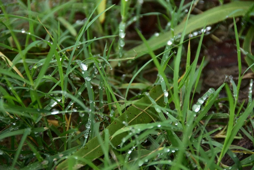
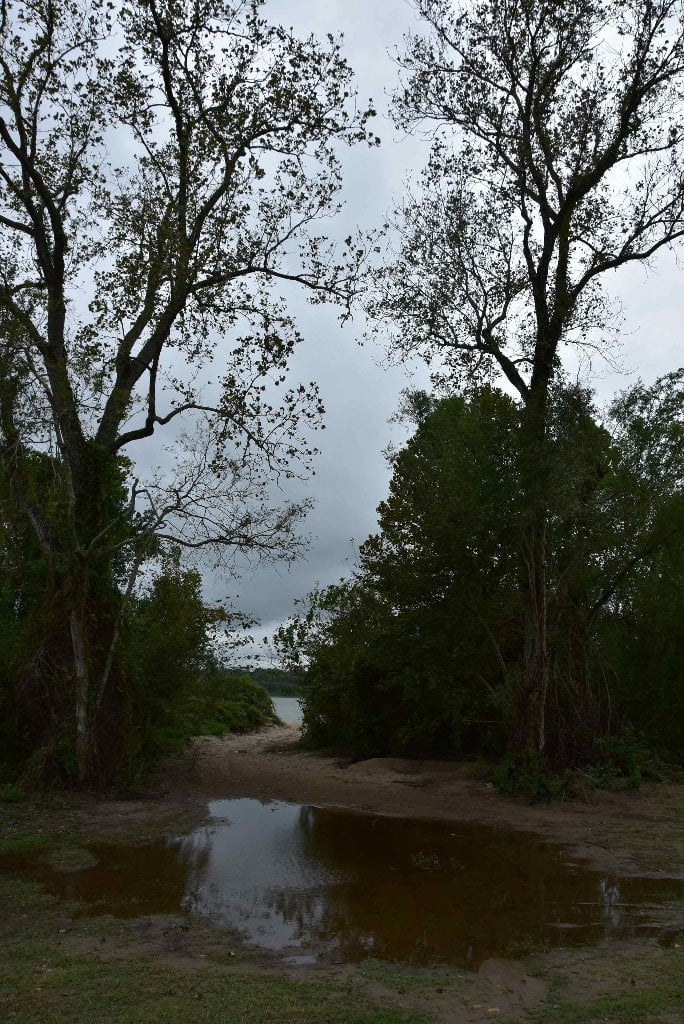
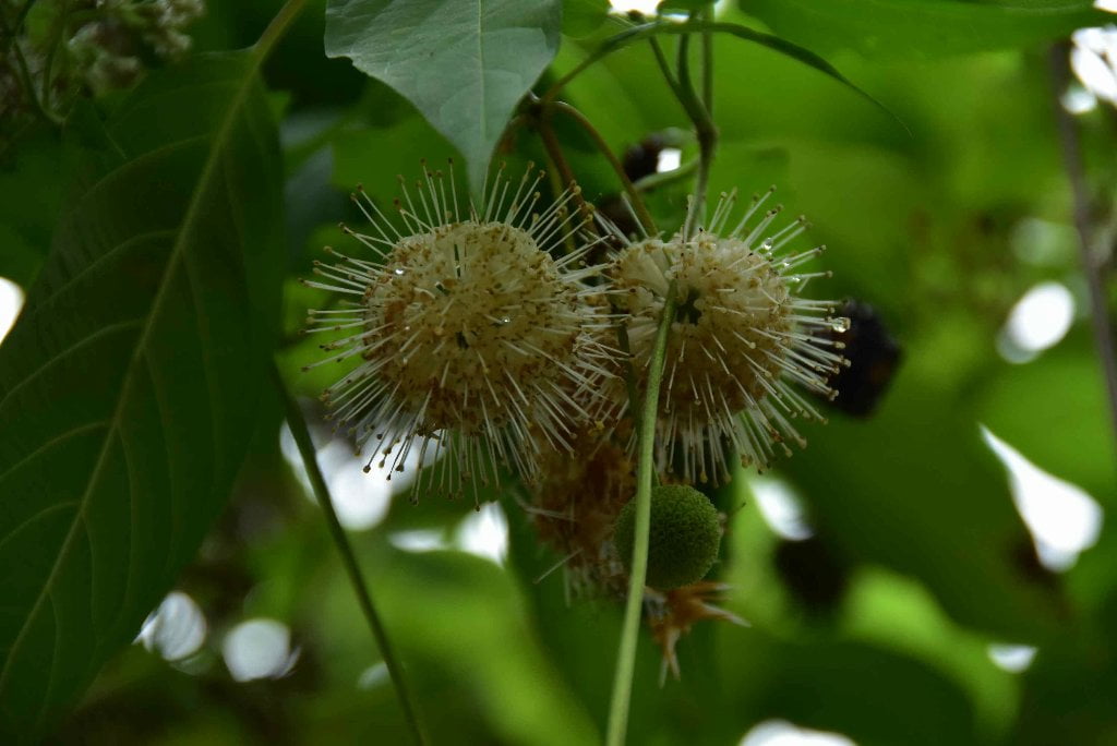
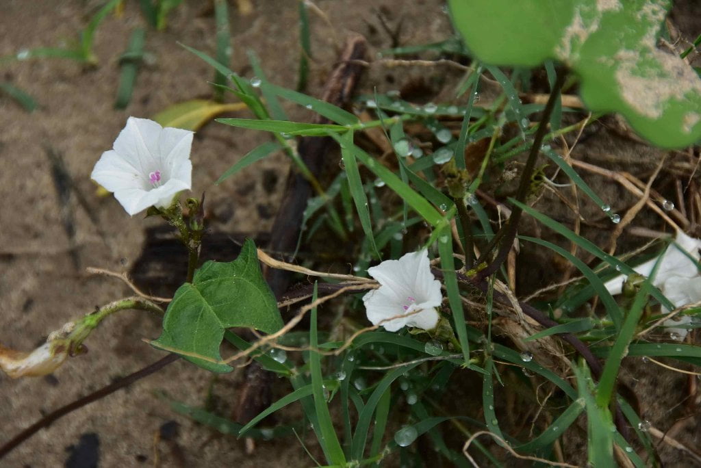
Angelina, Forty-Eight Mile Point and Belle Point create a refreshing stretch of forests and relative wildness as the big river swirls around Willow Bend. You can find low/,medium camps/picnic sites in sevral places, and a possible high water camp (up to 15NO) at the Marquez Eddy. Viewed from above, this insignificant slice of wetlands and bottomland hardwood forest pales in comparison to the cypress tupelo swamps stretching southward toward the Gulf and northwards towards Lake Ponchartrain.
143.4 LBD Marquez
Good low/med water picnic or camp place, highest sandbar might be dry up to 17NO.
The cut-out bank at Marquez creates some powerful eddies that sometimes reach into the main channel and can force you into oncoming freighters or cause you to get spun around, depending which side of the eddy line you find yourself in. You can find low and medium camps/picnic sites on the sandbars strewn along the Marquez Eddy. The low bars are 4WD accessible in low water. At the bottom of the eddy one bar reaches up higher than the others. This high bar stays dry up to 15NO, maybe even up to 17NO at the edge of the forest. More sandbars are strewn up in high locations above the rip-rap between the Marquez (143.4 LBD) and Belle Point (142.4) lights, making this a good bet for highwater shelter.
142.4 LBD Forty-Eight Mile Point/ Belle Point
Forty-Eight Mile Point was once a beautiful wild location with bountiful sandbars and good camping at all water levels. Unfortunately this has all been destroyed by a vigorous and sloppy barge maintenance and fleeting service which has claimed this once pristine place as its base of operations.
142.3 RBD Wego
Paddlers can make landing and find possible picnicking and camping at Wego, which spreads out in quiet forested area between 143 and 142. You will see two obvious openings in low and medium waters, but all sand goes underwater in higher river levels (12-17NO) leaving nothing but flooded forests. Good protection from West wind in the woods. Best water levels are between 8-12NO. Steep muddy/sandy banks below 8NO making landing difficult but not impossible. There is road access to the most downstream portion of Wego at the southern end of an open field. The upper portion is a little more protected and less visited.
142RBD Willow Bend
Willow Bend rewards paddlers with a three mile stretch of no industry and some attractive all weather, all water level sandbars. There is barge fleeting within Willow Bend, however, and like other blind corners you will have to stay awake and alert for oncoming freighters, tugs, and other fast moving traffic. As you paddle into Willow Bend you will be forced outwards towards mid channel around Angelina by some West bank fleeting (144 RBD), and then from some East bank fleeting located below Forty-Eight Mile Point (143 LBD). If not stopping at any of the Willow Bend sandbars stay with the fast downstream water mid channel into the bend, sliding towards West Bank, and then gently curve northwards to catch the fast water moving back towards the East Bank.
141 RBD – 139 LBD Willow Bend Crossing
Coming into the very busy industrial reach of Reserve, paddlers should listen to VHF 67 and watch very carefully as you paddle around Forty Eight Mile Point. Follow your intuition as to best line of travel. Too wide might bring you face to face with freighters. Too tight might result in fleeted barges and big waves from service tows, workboats and tugs. This is one of those places there is no obvious line of travel, and no predictable patterns of commercial traffic flow. Willow Bend Crossing resolves into miles of docks worked by the colossal Marathon Ashland Refinery, which is then followed by Cargill Grain and Archer Daniel Midland (ADM) Docks.
141.7 LBD St. John Fleeting, Repair Wharves and Garyville Fleet
141.25 LBD – Garyville & 139.75 LBD – Lions
The Marathon refinery is located between Lions, a community founded by former slaves, and Garyville, a racially mixed community on the upstream side. Refinery operations and multiple accidents contributed to an unhealthy and noxious environment; residents from both towns were relocated to different places in the region. Marathon paid in full for Garyville residents, while Marathon contributed half of the relocation costs for Lions residents, as Lions flanked a large grain elevator on its opposite side. Residents of both towns were relocated wherever lots were available, resulting in the permanent fragmentation of these communities. (Paul Orr)
140.6 – 140.0 LBD Marathon Ashland Petroleum, Louisiana Refining Docks 1, 2, 3 & 4


Leave A Comment
You must be logged in to post a comment.