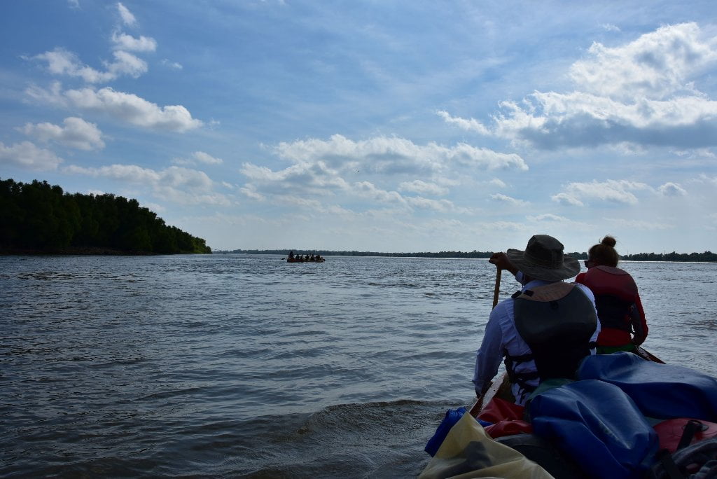
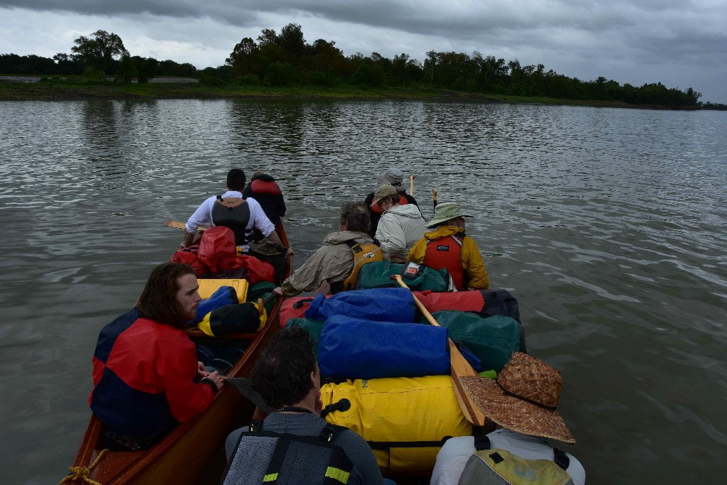
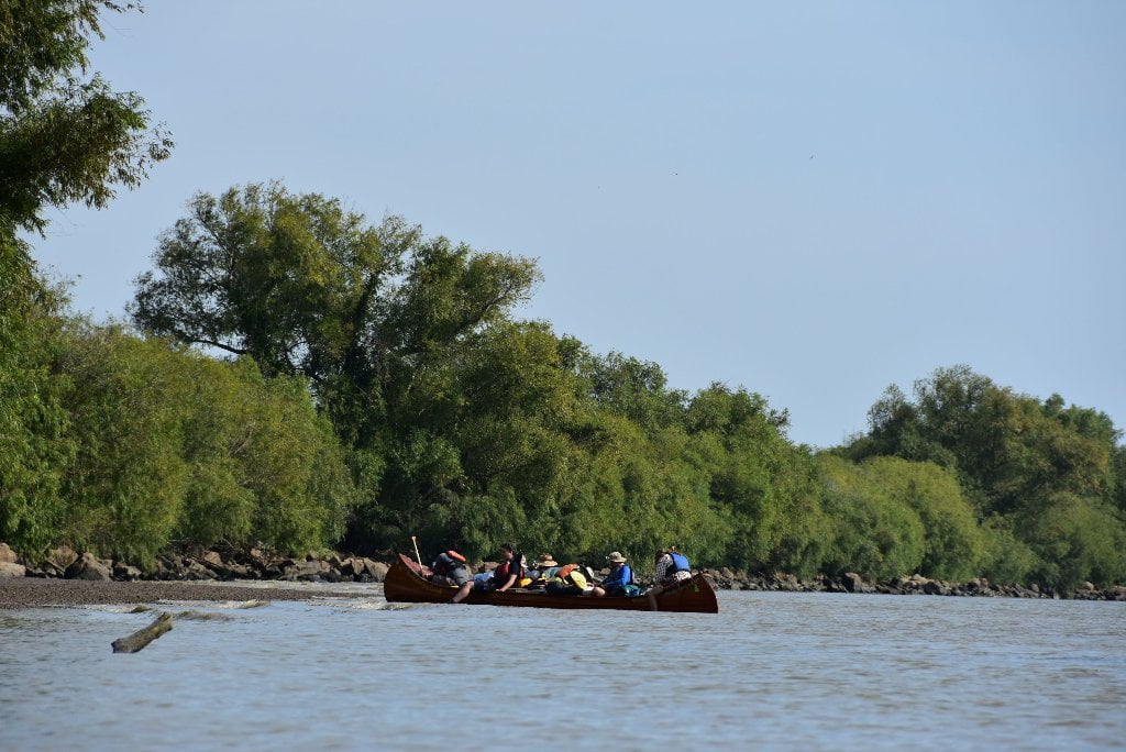
The Lower Mississippi River Water Trail
57 – 56.6 RBD International Marine Terminals Shiploader Wharf
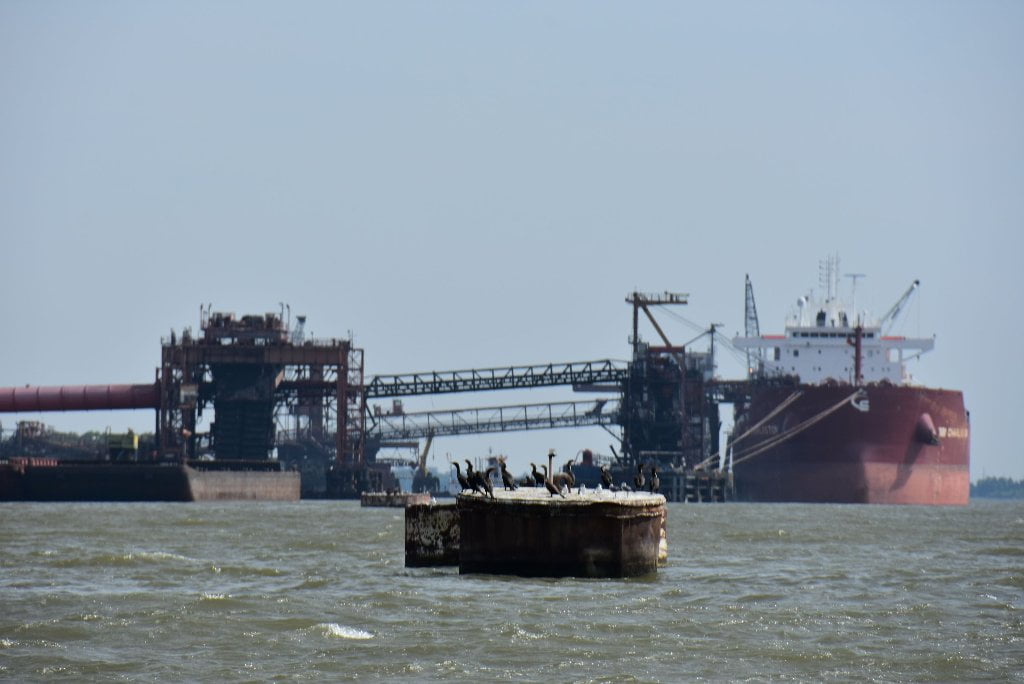
IMT is a coal export terminal owned by Kinder Morgan. The facility sits on 150 acres and can store 1,300,000 tons of coal. It can export 5,000,000 tons of coal per year.
55.8 LBD L & L Oil Dock
55 RBD Junior Crevasse
The steamship Inspector was passing Junior Plantation on April 23, 1927, bound for the mouth of the Mississippi. As the ship fought the currents of the greatest flood ever experienced on the river, the pilot suddenly lost control of his ship. The prow of the Inspector swung to the right, the vessel lurched forward, and the boat buried her nose in the levee. The pilot, dismayed by the mishap, tried desperately to keep the vessel jammed in the levee to reduce the flow of water through the gap she had made. Currents caught the stern of the vessel, swinging it around violently and gouging out an even bigger hole in the levee. The gap widened rapidly, and soon flood waters were pouring over the plantations below. The ship remained grounded in the levee for several weeks, preventing any attempt to close the crevasse until long after the flood had ended. (Braggs)
55.4 – 55.2 LBD TECO Davant United Bulk Terminal
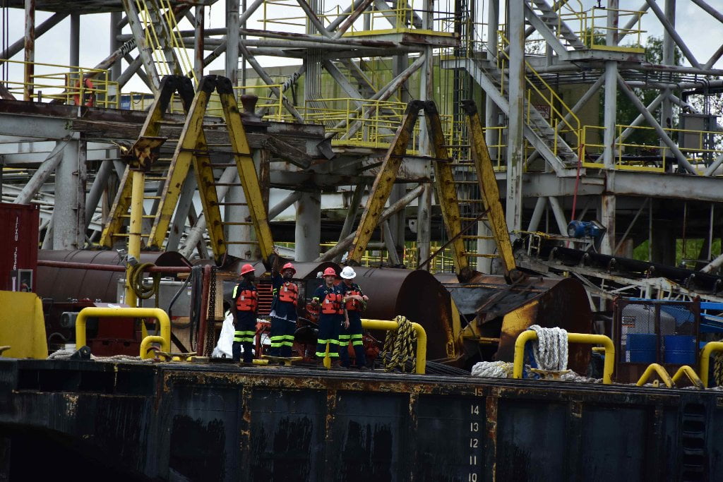
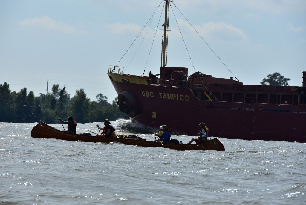
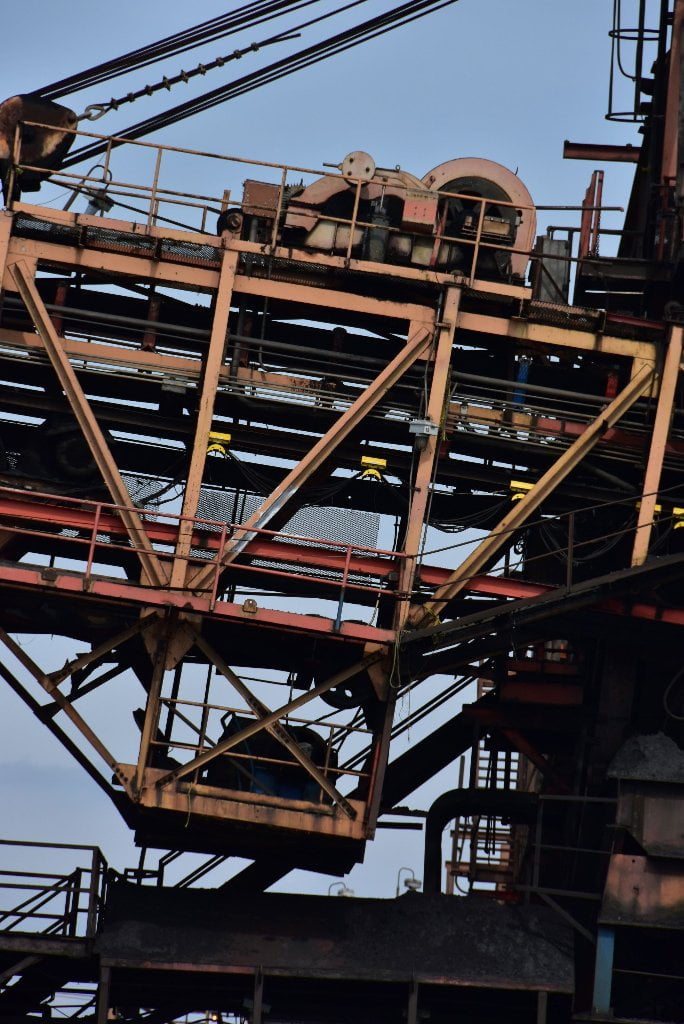
Another landmark: the very last monstrous coal transfer conglomerate on the Lower Mississippi River! Also can handle other bulk transfer, such as grains. From their website, United Bulk Terminals Davant claims to be one of the largest dry-bulk terminals in the United States. The facility is located on 1,134 acres (460 hectares) of land, at mile 55 on the Mississippi River south of New Orleans in Davant, Louisiana. UBT is the first dry bulk terminal inbound on the Gulf, which offers customers significant cost and time benefits by avoiding the logistical challenges of navigating ocean-going vessels through the congested New Orleans area. United Bulk Terminal is a coal export terminal owned by Oiltanking. 3,500,000 tons of material can be stored at the facility and it can export 11,000,000 tons of coal per year. Three ocean vessels can be serviced simultaneously and vessels ranging in size from Handysize to Post-Panamax can be accommodated.
53.9 – 52.8 LBD Davant Anchorage
53.9 RBD Crescent Ship Service, Davant Landing
52.2 RBD Port Ship Service, Davant Landing
52.1 RBD Belle Chasse Marine Transportation, Davant Landing
51.8 LBD Chevron Pipeline Co., Pointe A La Hache Wharf
51.6 LBD – Plaquemines Parish Lock-up
A boondoggle to the tune of $100,000,000 of FEMA money. Former Sheriff Jiffy Hinge had this state-of-the-art lock-up built with a capacity of 900 inmates, one of the largest parish lock-ups in the state. Plaquemines parish is one of the least populous parishes in the state and rarely has more than 100 inmates. Jiff Hingle was himself locked-up in jail after pleading guilty to bribery charges.
51.5 RBD Point Celeste
Shallow inlet with possible passage for paddlers, muddy landings though.
52 – 49.8 RBD Point Celeste Anchorage
49.2 RBD ECOTT, West Pointe A La Hache Wharf
49.2 LBD Bass Enterprises Production Co., Pointe A La Hache Wharf
49 RBD Plaquemines Parish Water Treatment Intake
Plaquemines Parish residents draw their drinking water directly from the Mississippi River, as do all residents downstream of Baton Rouge. This only reinforces the admonishment to be careful about what you dump in the Mississippi River and its tributaries. The saying “We all live downstream” applies big time down here because everything is upstream! 44% of America drains past Plaquemines Parish.
48.6 LBD – 48.6 RBD Pointe a la Hache Ferry
This is the last ferry service on the Lower Mississippi River. This is not surprising, since Pointe a la Hache is the end of road along the East Bank of the Mississippi River, and also, the end of the levees.
48.6 Ferry Landing/The Town of Pointe a la Hache
Pull into the ferry landing for access into Pointe a la Hache, but be sure to defer right of way to the ferry boat — this is an active landing! US Post Office is located close by over the levee, as well as small convenience store with limited offerings: Dj’s One Stop, 126-132 Fontenelle Ln, Pointe ã La Hache, LA 70082.
44.5 LBD Pointe a la Hache
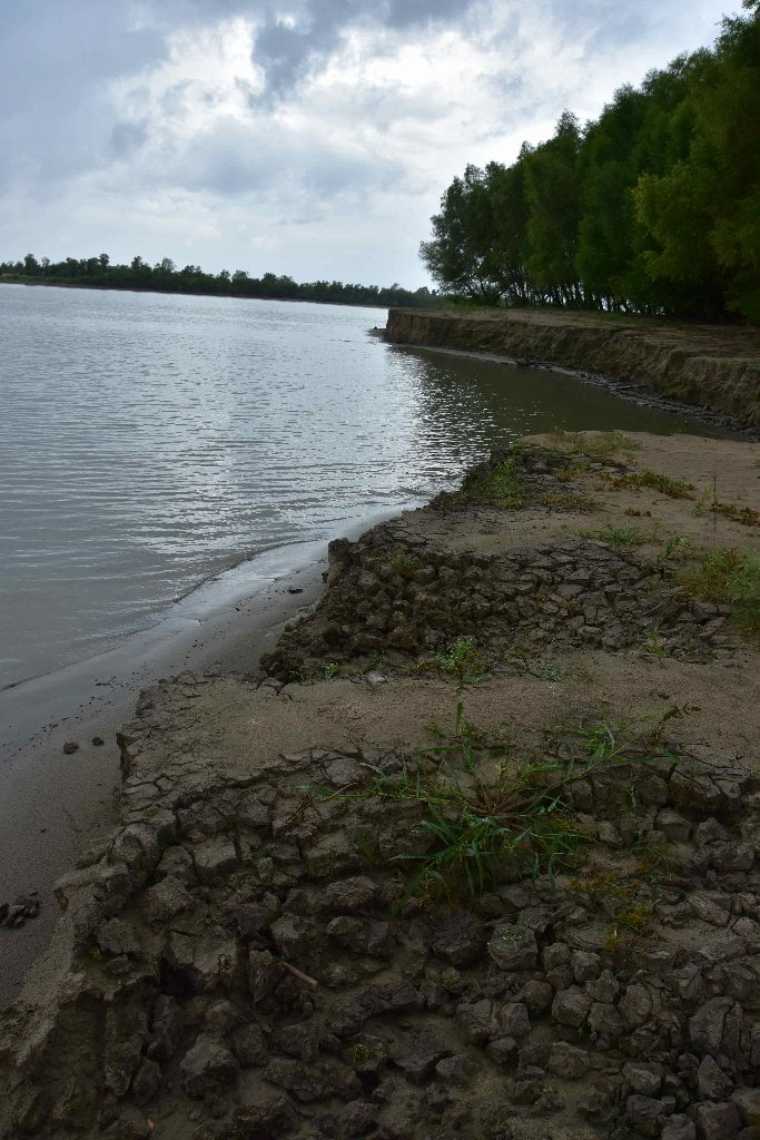
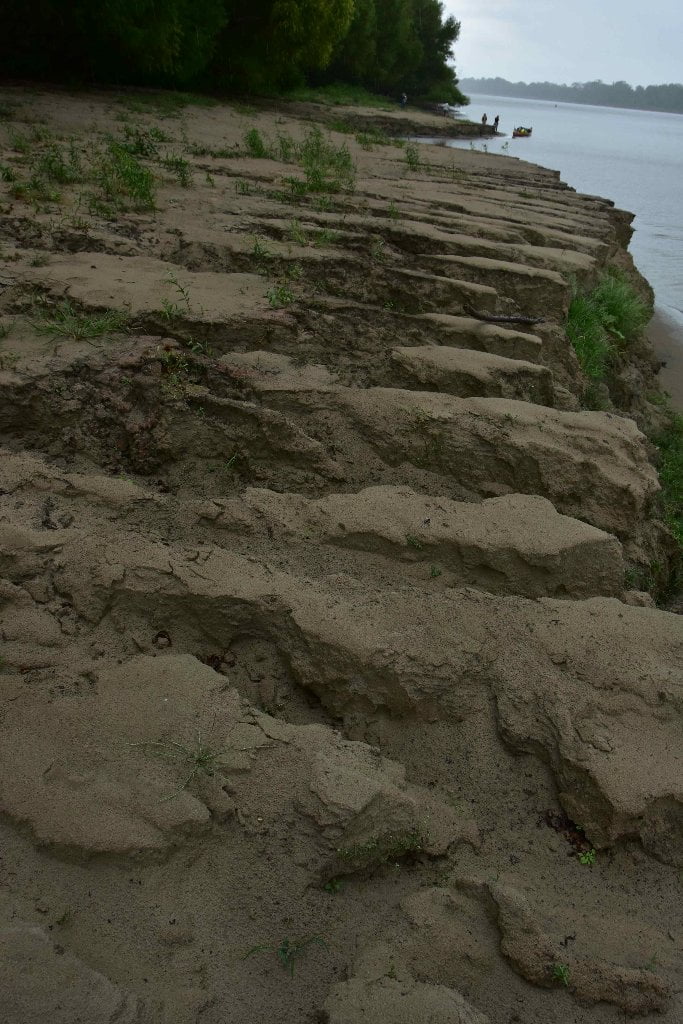
French explorers named this point, using a French phrase that meant “Point of the Axe.” A map made in 1765 called it “Hatchet Point.” The mainline levee system on the east bank of the Lower Mississippi terminates at Pointe a la Hache, about 50 miles above the Head of Passes. Pointe a la Hache is the end of road along the East Bank of the Mississippi River! Also, the end of the levees! From here on down along the East Bank the banks and trees get shorter, the passes start opening up more and more, and the brackish, marshy waters of the Breton Sound/Gulf of Mexico approach closer and closer! The momentum is growing and your heart becomes more elated the closer you get!


Leave A Comment
You must be logged in to post a comment.