The Lower Mississippi River Water Trail
132 – 131.5 RBD Bonnet Carre Island
Beautiful low/med water camping, with storm protection from all directions, but goes under around 12NO.
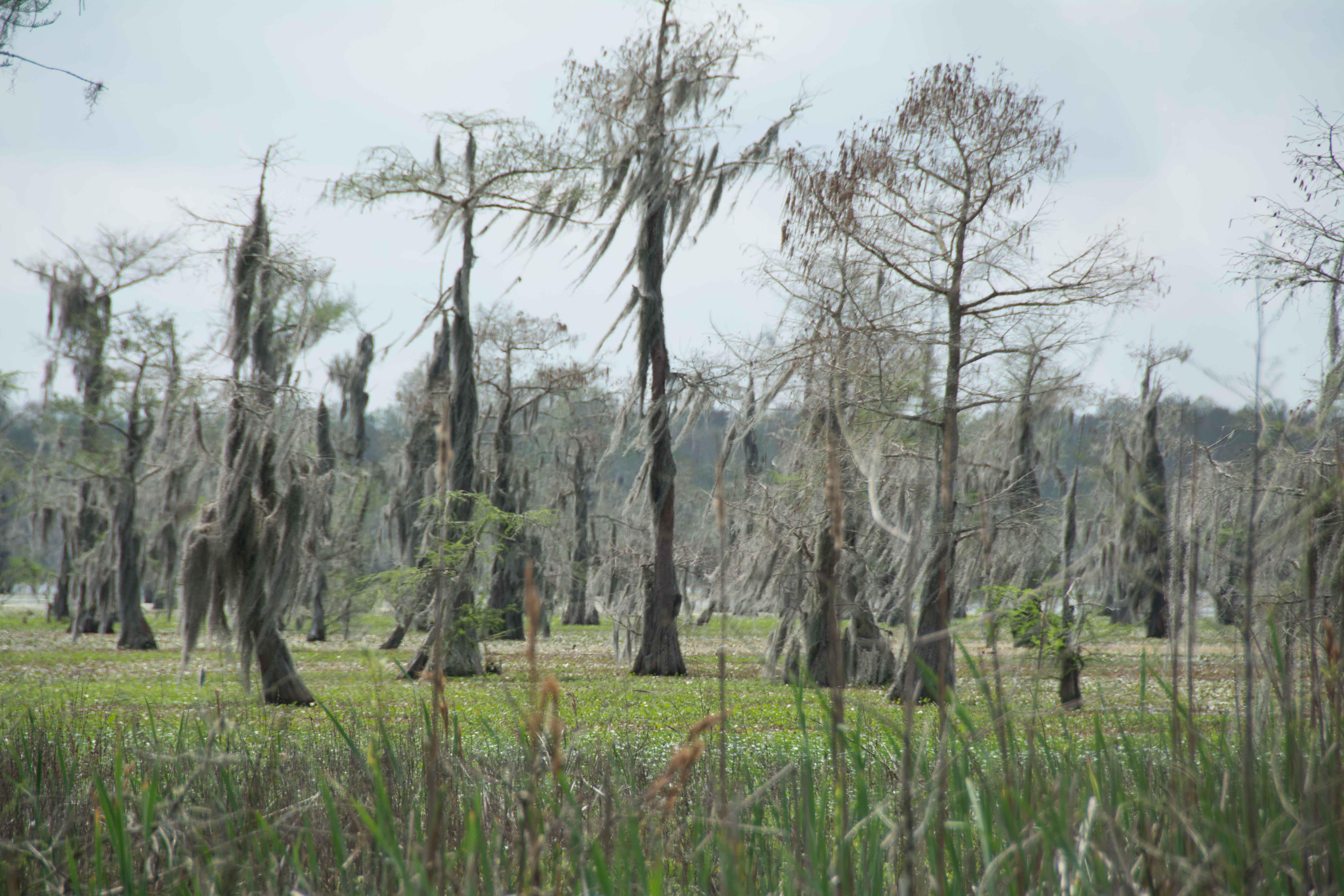
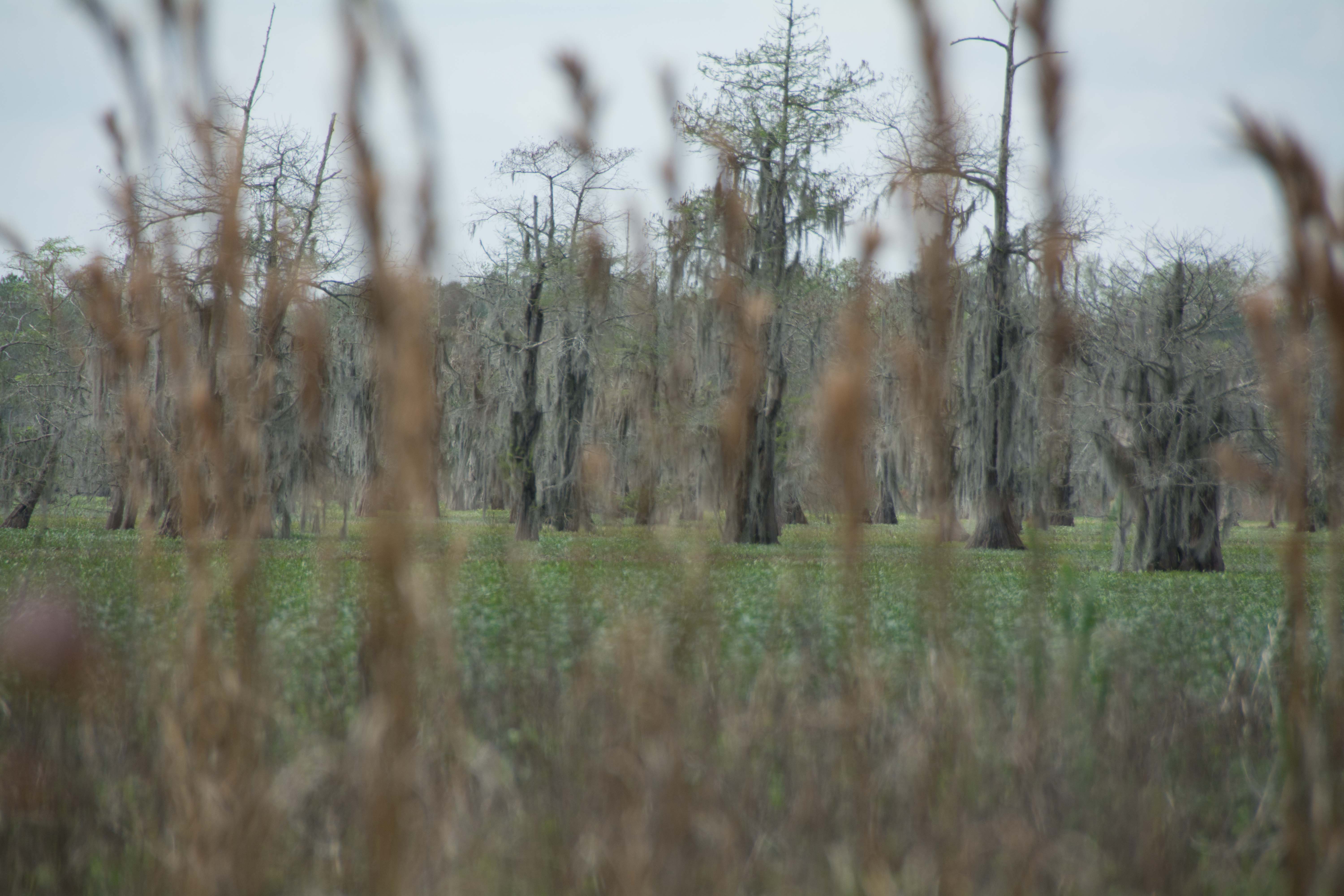
Newly Discovered Island! Perfect for paddlers seeking refuge, but very mosquito prone in its season, and only good in low and medium water levels. Completely underwater around 12NO. Bonnet Carre Island is the very last “real” island on the Lower Mississippi (until you get to the Birdsfoot Mississippi Delta) – that is an island with its own river banks, its own sandbars (in low water), a forested top, a defined perimeter, and its own micro-biota.
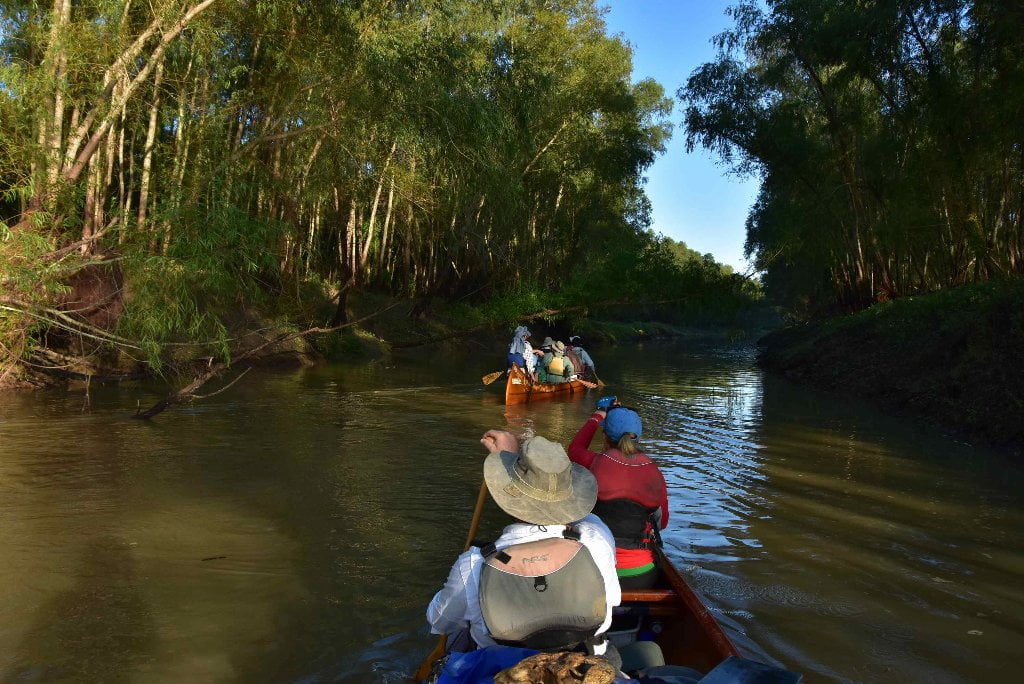
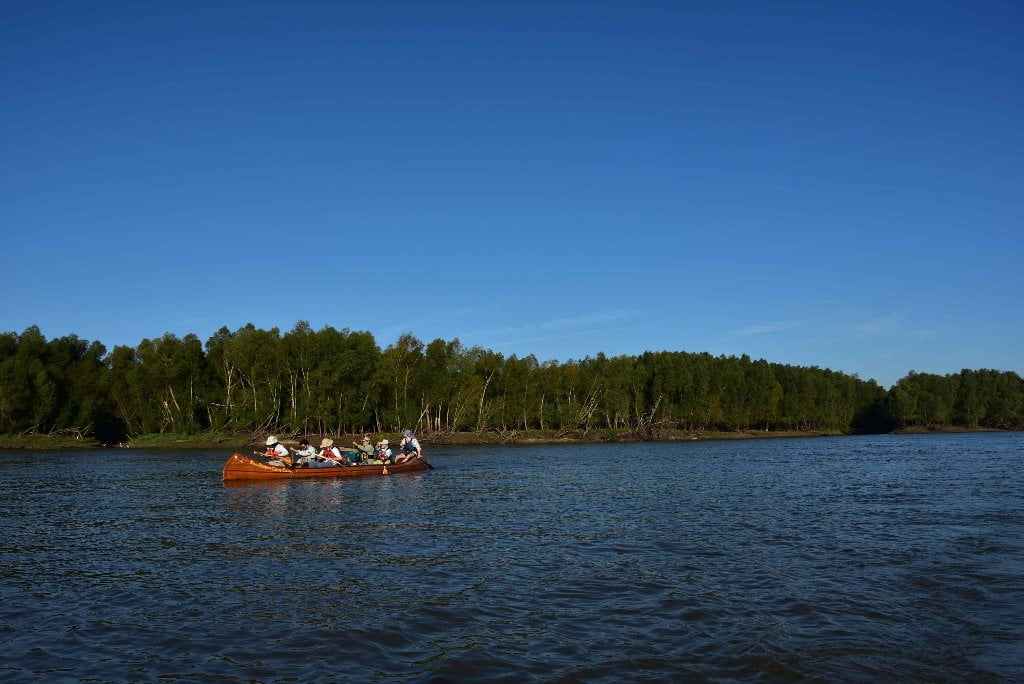
Bonnet Carre Island hugs the West Bank right bank descending at mile 132RBD. It is about a half mile long, and a hundred yards wide in its belly tapering to long skinny points at its extremities. But its size belies its importance to paddlers as the very last possible island before the Gulf. Islands are our favorite place for picnicking and camping. Why? Because no one else but paddlers (and other small boats) can reach us. Islands feel special, and they are. They are partly of the river, and partly of the land. Island time is like river time. Things happen when they’re supposed to happen. You are living on island time when you make decisions about your day based on what’s going on, and not by your watch. River time is the same. Thelonius Monk defined river time when he said: “people think I’m crazy because I eat when I’m hungry and I sleep when I’m tired.”
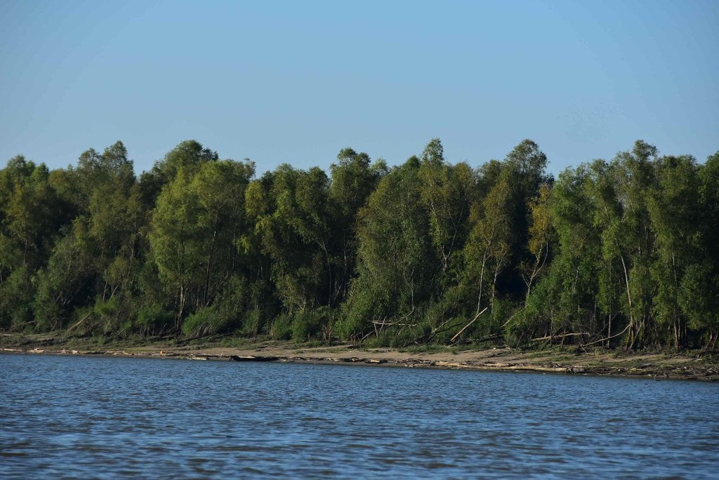
Like all Mississippi River islands, Bonnet Carre Island is bounded by main channel and back channel. Back Channel opens up around 3NO with a narrow canal that cuts through a top end sandbar. The island’s resident beaver maintain this canal in low water for access to the water behind the island. The island is bounded by sandy banks on its main channel river side, and muddy flats on the backside. Some of these banks are steep, some smoothly descend to water’s edge and allow an easy landing. Top end sandbar is best open spot for making landings and setting up camp, but if this doesn’t look good continue on downstream and take your choice as you paddle along. You could pull up into the open willow forests at bottom end for good wind protection during inclement weather, up to 10NO. The bottom end, like top end, gradually descends to a narrow shallow point, top end sandy, bottom end muddy. There are more possibilities for landings and campsites on the high ground on the mainland opposite bottom end.
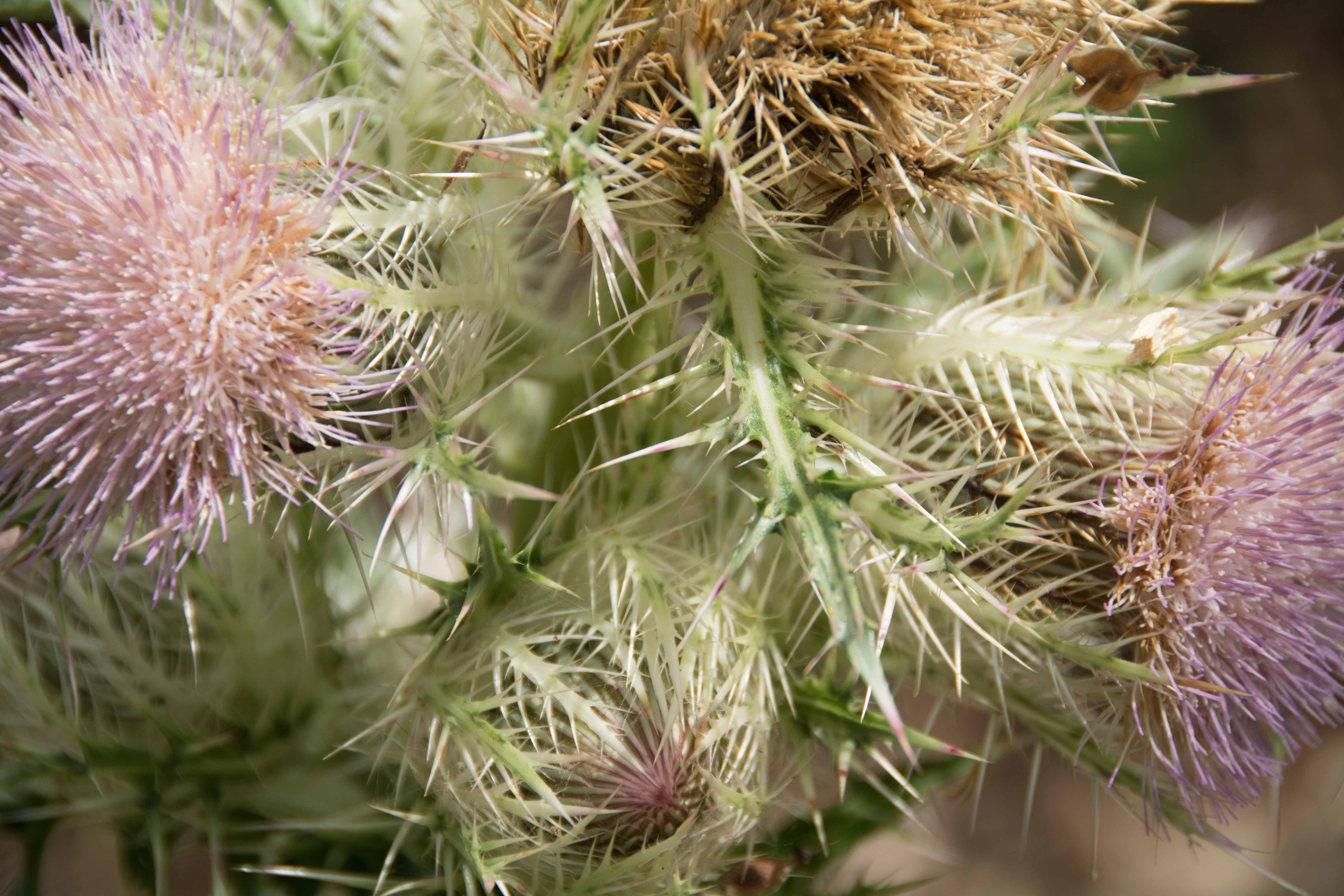
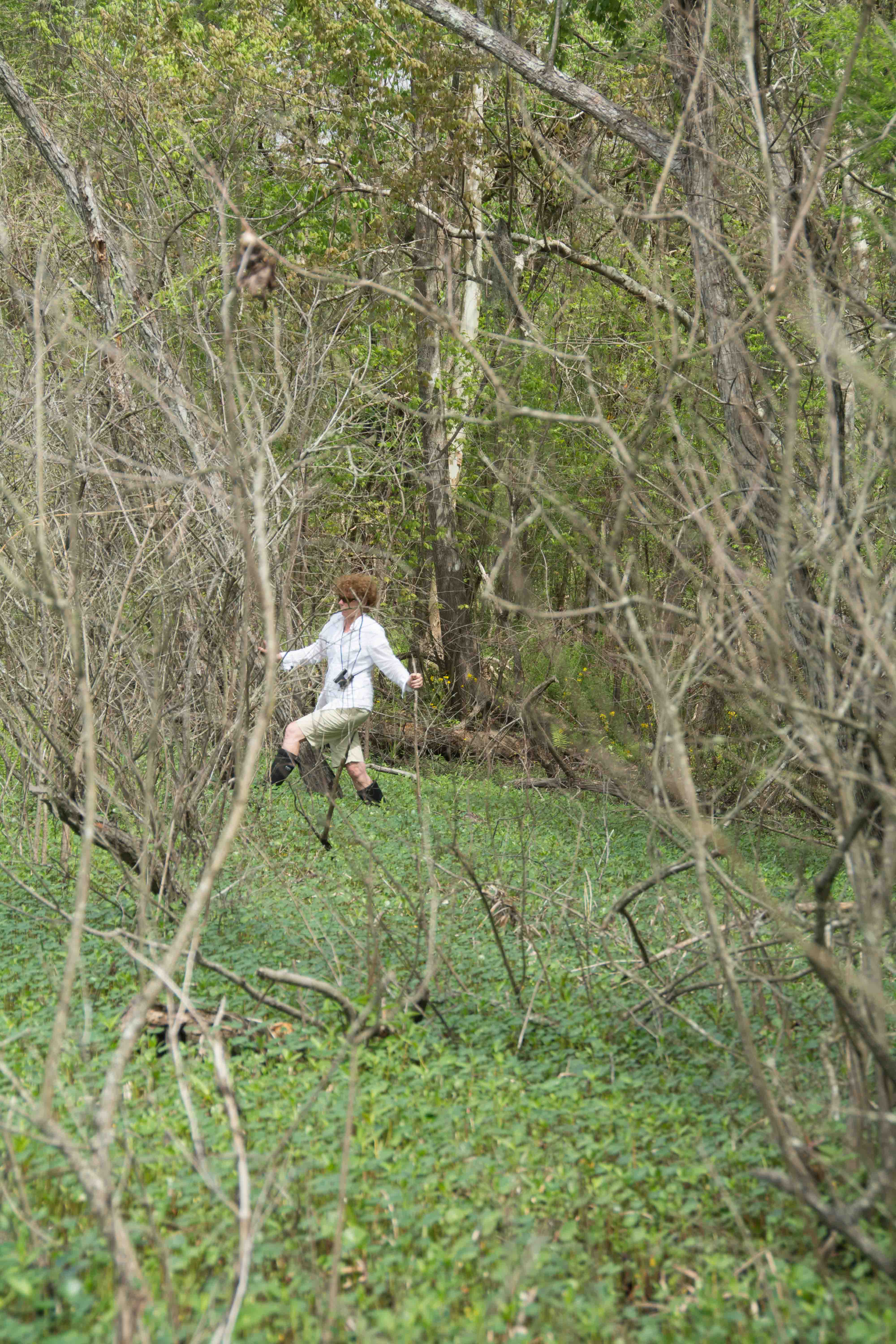
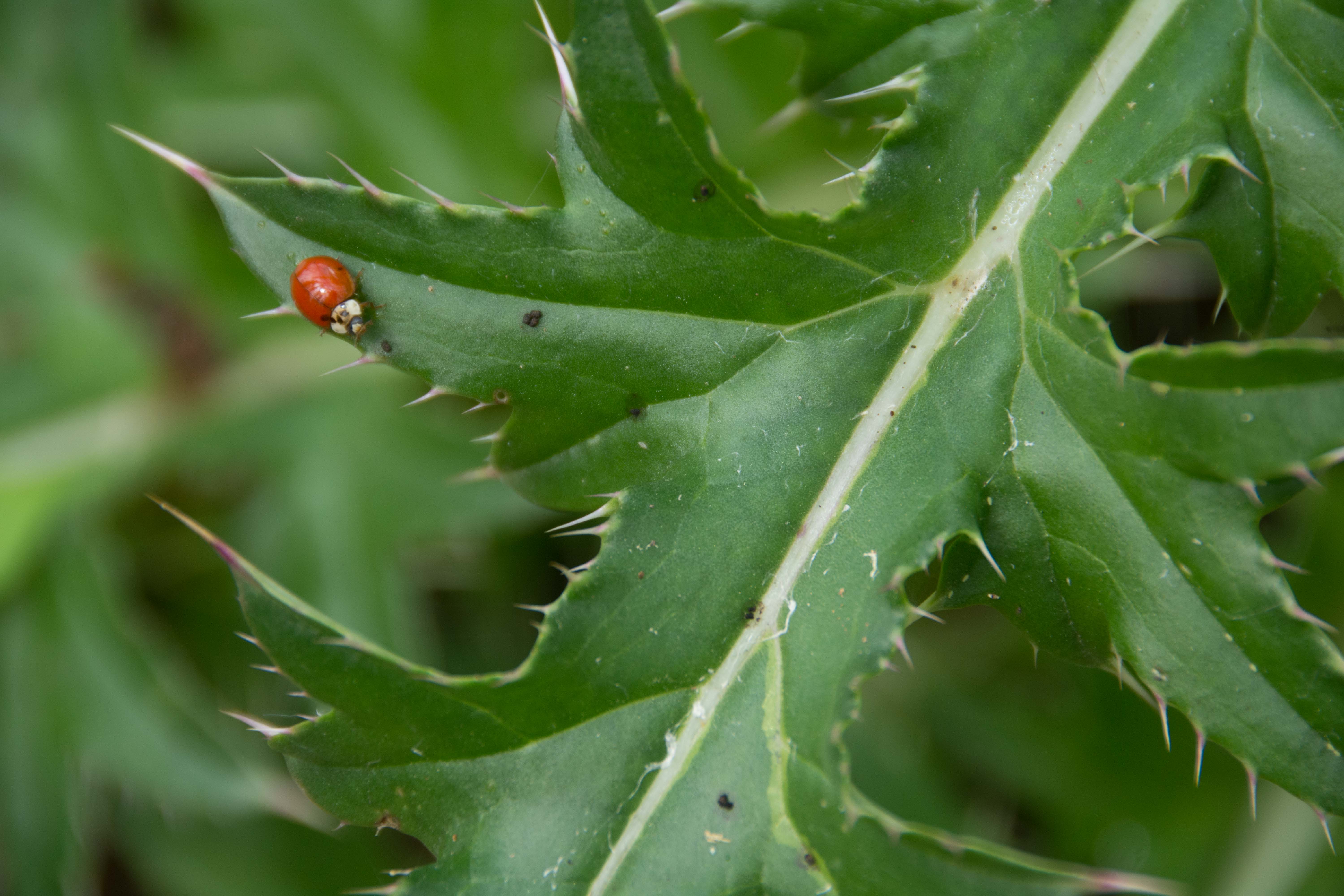
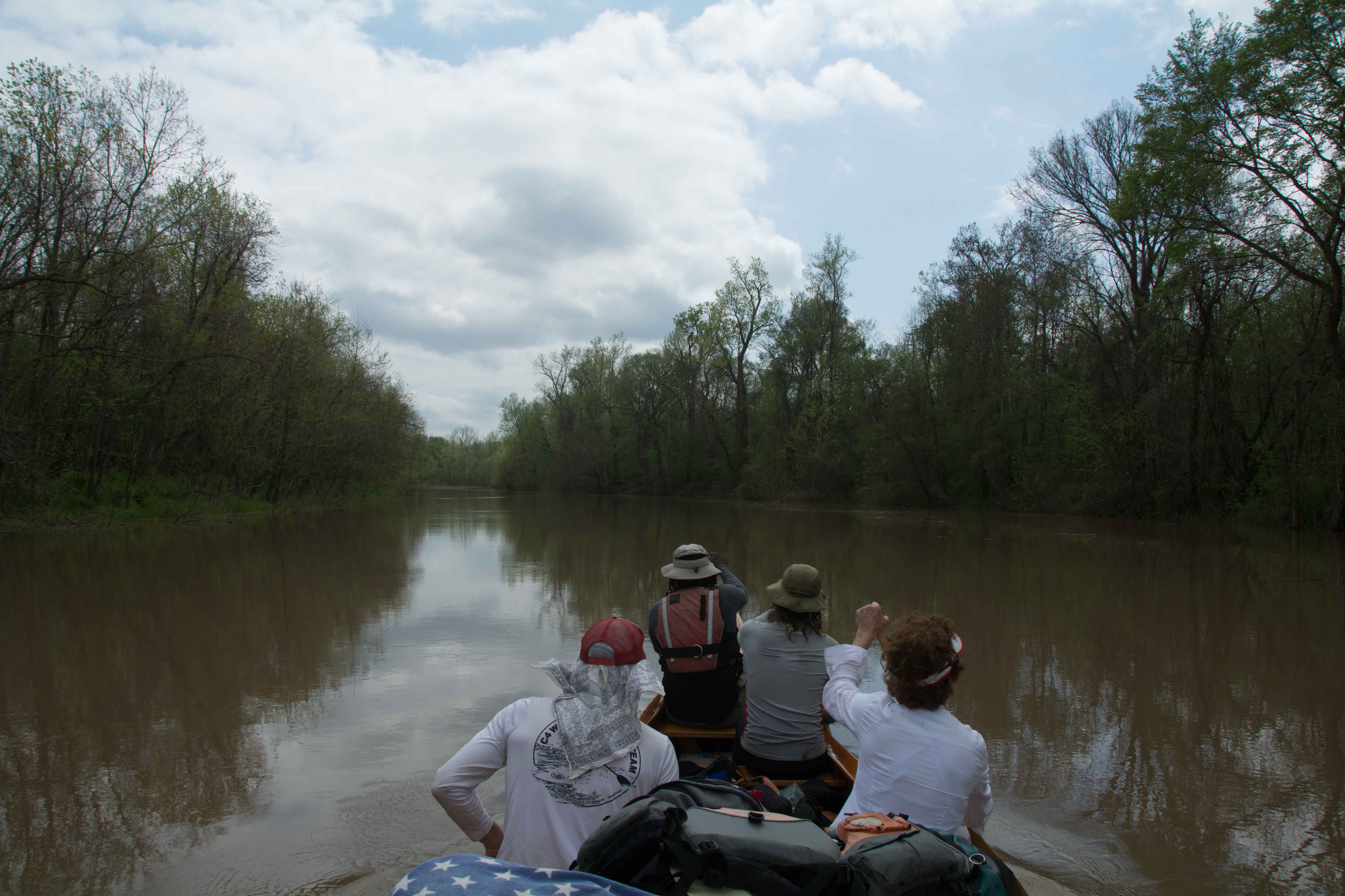
Paddlers should cut through the back channel for a glimpse into a deep willow forest full of birds, amphibians, and some mammals like beaver and deer. There could be bobcat. Amphibians like red eared sliders, frogs, skinks and salamanders proliferate in the back channel, which has created a protected refuge. As previously mentioned there could be alligators, which you might want to keep an eye out for if you have children or dogs in your party, or if you go for a swim in the back channel. We found the top side of an alligator skull in the late fall of 2015 Rivergator exploratory expedition. The insects include dragonflies, wild bees, butterflies, moths, and is densely over-run with clouds of mosquitoes when the conditions are right (which could be anytime during the year except maybe winter. There are wild pigs and coyote, but you probably won’t see any evidence except for their tracks and scat. The bird life is diversifying as you paddle down the Mississippi towards the Gulf. Shrikes, crows, anhingas, terns, seagulls, sandpipers, egrets, herons, and pelicans are commonly seen.
You can paddle through the the back channel if the water is above 4NO gage. After passing over a shallow sandy shoals, you will paddle across a deep pool which might house alligators. This deep pool runs southward arcing very slightly to the east into the more shallow bottom end. You might have to do some poling, or maybe jump out and dragging your vessel over a shallow hump midway down the back channel. The shallows extend far down the bottom end until the exit back into main channel. Willow forests predominate on the island, while on the higher mainland side willows mix with sycamores, maples, alders, hackberries, and other trees typical of the bottomland hardwood forest. One of the appeals of Bonnet Carre Island is the extensive wetlands behind the island, protecting it from agriculture and industry over the levee, about a mile to the southwest. The Batture here is a mix of willow forests, mixed willow/sycamore forests, wetlands and some open bodies of water carved in previous river floods. If you walked through these deep wetlands you would eventually stumble into some giant blue holes carved into the floodplain near Hymelia, where the river tore through in the floods of 1903 and 1912. Keep reading below.
Hymelia Crevasse 131.5 RBD
The crevasse at Hymelia plantation occurred on March 26, 1903, and was the most disastrous break in the levees in that major flood year. The levee at Hymelia had been considered perfectly safe, and it was with real astonishment that an observer reported discovering a hole ten feet in diameter at the base of the earthen embankment. The hole enlarged very rapidly, the top of the levee collapsed, and within three hours the break was over 200 feet wide. For the next few days, desperate and costly efforts were made to close the Hymelia Crevasse. More than 1,000 laborers were put to work constructing pile and wood cribbing, and a sandbag fill. They were making good progress when a barge crashed into the cribbing on April 7 and wrecked it. The workers tried frantically to repair the damaged section, but their task was hopeless. Early in May the work was suspended, after the expenditure of a vast amount of money, materials, and labor to no purpose. The water that poured through Hymelia Crevasse inundated plantations and villages below, but the long effort to save the levee had given the people time to evacuate their homes before the flood waters reached them. Some plantation owners were able to construct emergency levees to protect them from the water. During the flood of 1912, there was a similar emergency at Hymelia. The levee collapsed on March 13, 1912, at eight o’clock in the morning, and the local levee board rushed laborers and materials to the area and began to try to close the crevasse. Local interests soon came to the end of their limited resources, and for a time it appeared that the flood waters would flow unimpeded over the plantations and towns below Hymelia. Fortunately, the Mississippi River Commission and the Army Corps of Engineers stepped in to assist the hard-pressed flood fighters, and undertook the responsibility for closing the crevasse. Damages had been estimated at $25 million in 1903. In 1912 they were much less, for the crevasse was success- fully closed. (Braggs)
131 RBD Hymelia Beach
A long bank with low angle sandy beaches makes possible landings for camps or picnics in low water 0-10NO below Bonnet Carre Island right bank descending, the best of which are found below an inlet leading through the woods to an isolated lake, the remnants of a past channel of the big river. As with Bonnet Carre Island, paddlers here are protected from the levee by a wetlands behind the beach, although there is a 4WD road in the woods makes for possible land visitation.
130 RBD Killona Landing
There is a high shelf of sand West Bank here located in between the Waterford outfall and its towering smokestacks, which might be good dry ground up to medium water (up to 12NO) but who would want to stop here amidst all of the noise and visual pollution? Better choices upstream at Bonnet Carre Island or downstream at the Bonnet Carre Spillway.
130 LBD Thirty-Five Mile Point
As you paddle past the Thirty-Five Mile Point sign on the East Bank at 130 RBD the bank will fall away into a small eddy with several small sand dunes available at low water, with dry sand up to around 8NO, and possible forest bottoms accessible further up the bank in the trees up to 12NO.
Taft/Hahnville/Norco Industrial Reach
As you round Thirty-Five Mile Point you will enter the densest stretch of petrochemical activity that you’ve yet seen anywhere on the Mississippi River! This stretch begins as you paddle in between a trio of Entergy Power Plants, towering like fire-spewing dragons you must paddle between, and then past the long anchorage along the Bonnet Carre Spillway. Paddlers take note: The Bonnet Carre Spillway Boat Ramp (or nearby flatlands created by the spillway) will be your last possible safe stopping place before entering this wall-to-wall cauldron boiling over with a profusion of petrochem giants, including Union Carbide, Occidental Chemical Koch Industries, and the sprawling Motiva/Valero/Shell Norco Chemical Plants. Shell Norco exploded into popular consciousness in 1983 when 8 workers were killed during a refinery disaster. The river is transected underneath you by pipelines from Texaco, Shell, Evangeline Gas, Louisiana Power & Light, and cables by Southern Bell & Telegraph.
129.8 RBD Entergy Louisiana, Waterford Steam Electric Plants 1 & 2 Wharf
Entergy owns two small natural gas fired power plants here, just upriver from Waterford 3.
129.5 RBD Waterford 3
Owned by Entergy, the Waterford 3 nuclear power plant has one Combustion Engineering two-loop pressurized water reactor. The plant produces 1,218 megawatts of electricity since the site’s last refuel in October 2009. It has a dry ambient pressure containment building.


Leave A Comment
You must be logged in to post a comment.