The Lower Mississippi River Water Trail
33.2 LBD Bayou LaMoques/Balandock Canal
Three possible openings flowing towards gulf. Witnessed airboat pass through one in Nov 2015.
32 – 28 Tropical Bend
Funny Note: on the USACE there is a typo that reads “Tropical Blend” at this point. Maybe that’s what the USACE map-makers were mixing up as they proof-read this 2007 edition of the Lower Mississippi Maps?
30.4 RBD Plaquemine Towing Corp. Mooring and Banta mile 207 Fleet
28 – 31 LBD Point Pleasant
Good low/med water camping on grassy shelves.
Paddlers will find several miles of natural wild shoreline below Point Pleasant on the East Bank, from 28 – 31 LBD. If you seek a campsite, stop at the first good-looking place you find. Further down the campsites are corrupted by noise and aroma pollution from the nearby Chevron Empire (starting at 26.7 LBD). Possible campsites (or good picnicking) can be found along 3-mile length of the riverbank here with grassy shelves perched near interesting clumps of trees, some inlets, some small islands. You will find a few cypress trees amongst the tallow, willows, hackberries and others, and a few palmettos. A couple of cypress stand alone in the water, surrounded by a support system of thick cypress knees. One in particular forms an island to itself, too small to camp on, but interesting enough to visit and photograph. There is cattle grazing along this stretch of river, so you might see some cow pies and their makers amongst the dense undergrowth.
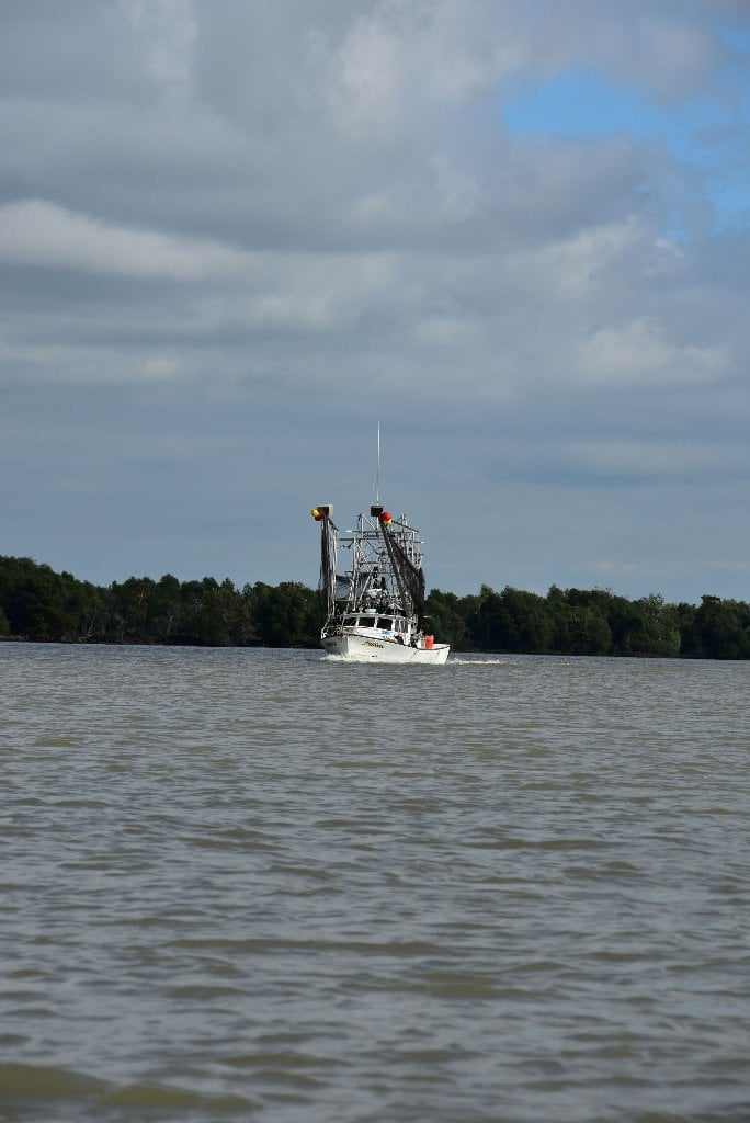
29.1 RBD – Daybrook Fisheries
Just over the levee in Empire is a menhaden processing plant. The plant processes menhaden (locally called pogies) into fish oil and fish meal. You may see the iconic blue and yellow boats, carrying two net tenders piggyback, motoring up or down the river between Empire and the Gulf. The menhaden are spotted by airplane and then the whole school is surrounded with a purse seine by the two 40’ net tenders. The blue and yellow Daybrook Fisheries “pogie boats” can carry 500 tons of fish each.
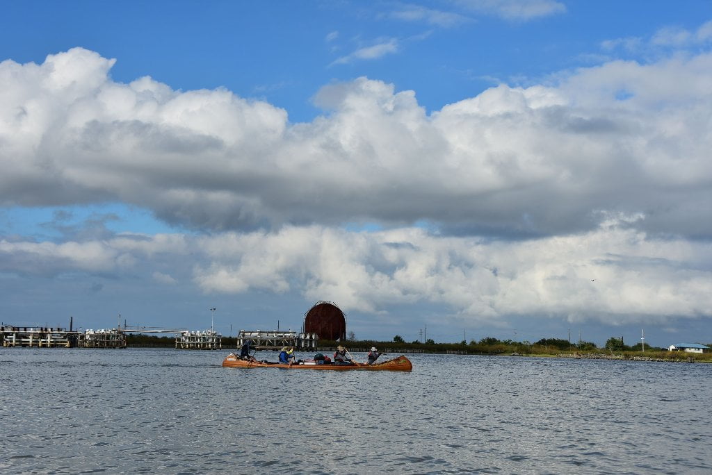
29 RBD Empire Locks
Access to Adam’s Bay, Barataria Bay, and beaches along West Bay of the Gulf of Mexico. Heavily trafficked by fishermen. The Empire Lock and Waterway connect the Lower Mississippi with the Gulf of Mexico via Adams Bay. The lock, built by the Corps of Engineers, was opened to navigation in 1948. It is 200 feet long, 40 feet wide, and has a depth of 10 feet. The waterway channel was completed in 1950, at a cost of more than one million dollars. Commercial vessels logged almost 1.7 million ton miles through the lock and waterway in 1974. Vessels carrying seafood, shells, and off-shore oil drilling equipment and personnel use the waterway.
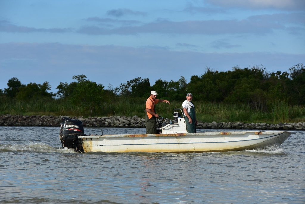
Increasing Fisherman Traffic
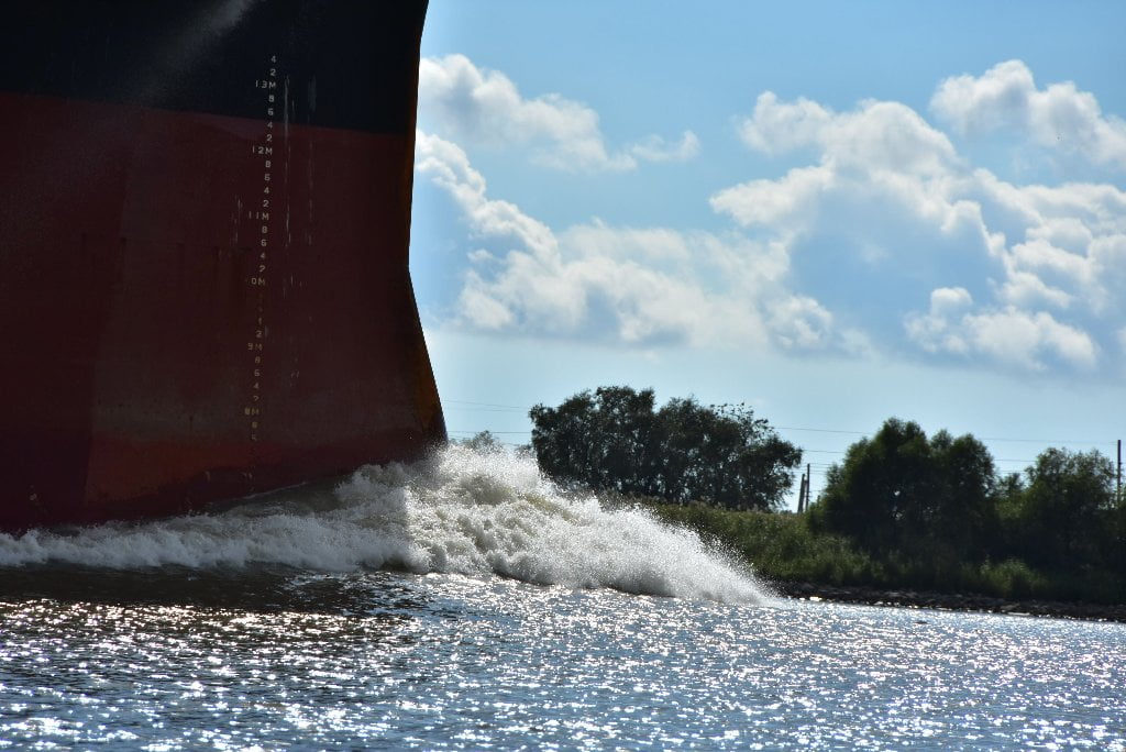
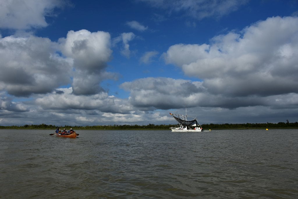
Towboat and barge traffic has been steadily declining as you travel down to the end of the river, as the freighter and tugboat traffic increases. The few tows you do encounter below New Orleans are all either work tows pushing one or two barges, or supply tows pushing 2-6 barges. Many are also without barge and performing the various duties necessary with industry at the end of the river. But now below the Empire Locks you will find another river mariner element growing in size and number, and that is fishermen. From here on down to the Gulf of Mexico you will find a steady increase of fisherman traffic, from crawfishermen to shrimpers, from sports fishermen and hard-working commercial fishermen. Sports fishermen and hunters sometime use airboats, which are the antithesis of a canoe: loud, boxy and ungainly. (Your sleep might be interrupted by these loud machines, the roar of which carries far across the waters). Some fishermen live along the river, but most live inland and board vessels within the harbors or at the few landings along the way, and follow the river to one of the many passes to travel to the secret fishing grounds. Some of these favorite fishing grounds are hidden behind the marshes, or in the many bayous and bays found down the passes, but many are within plain sight along the main channel or at the opening of one of the passes. As you paddle along you will be witness to the flourishing fishing industry, which is dependent upon a healthy river and a healthy Louisiana coastland.
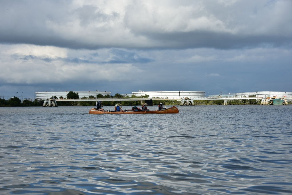
27.5 – 24.7 LBD Chevron Company (Oil & Butane)
Another landmark at the end of your expedition: the last refinery! Needless to say you won’t want to camp anywhere near here. Avoid camping anywhere along Point Pleasant in south winds. The smell alone will make you sick. The sound might keep you awake all night. The Chevron Company is the last major refinery along the Lower Mississippi River, and it commands this stretch of river with over three miles of river front, leisurely spilling over all dry (and wet) land on the East Bank in between 27.5 – 24.7 LBD including its Empire Terminal, Sunrise Landing, Empire Barge Dock, T-2 Dock, Ostrica Barge Dock, two Ostrica Super Docks, two Ostrica Butane Docks, and the Buras Boat Landing.
26.7 LBD – Chevron Pipeline Company Empire Terminal
This terminal is used to unload crude oil from barges and tankers before being sent up to refineries. Hurricane Katrina caused approximately 1,400,000 gallons of crude oil to spill from two of the tanks into the surrounding environment. The facility used to have a battery of tanks downriver by the Ostrica canal but only the ten tanks at the tanker dock remain.
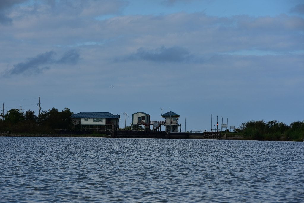
25.2 LBD Ostrica Pass
Ostrica Pass is controlled by the Ostrica Lock & Dam. Ostrica Lock is owned by the State of Louisiana, and was opened to navigation in 1952. It provides passage from the Mississippi to the Gulf of Mexico, via Breton Sound. The lock at Ostrica is used chiefly by crewboats, fishermen, and pleasure craft. It is 250 feet long, 40 feet wide, and has a controlling depth of 10 feet.
25.2 RBD Buras Landing Boat Ramp
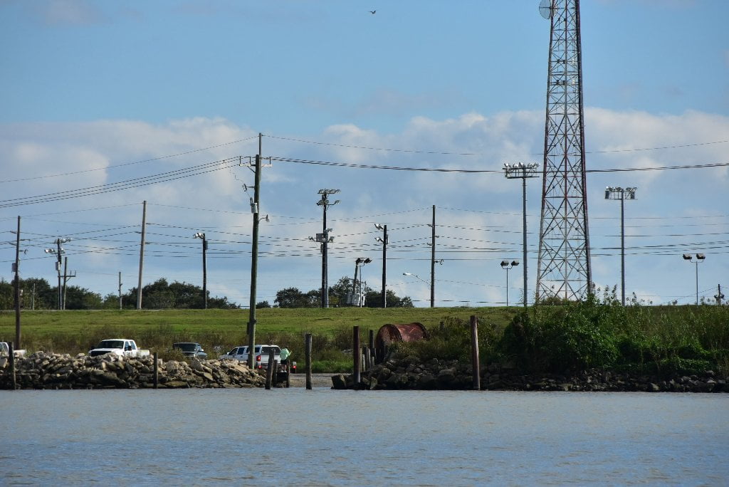
There is a rough but very usable boat ramp at 25.2 RBD where LA Highway 11 comes close to the river above the town of Buras. Paddlers in need of water, ice, or convenience store items could find it with a short walk north up Highway 11 to LeNguyen Supply & Food Mart, or a 2-mile walk south into the town of Buras for other choices.
24.6 RBD Abandoned Mooring
At write time (Dec 2015) an abandoned industrial mooring area in a protected inlet is found right bank descending at 24.6, just above Motto’s Basin Harbor. Paddlers could pull in here and for a unique off-channel place to take refuge from storms or high winds. As long as it remains abandoned, you could use this location for picnicking and even camping.


Leave A Comment
You must be logged in to post a comment.