The Lower Mississippi River Water Trail
35.2 LBD – Bass Enterprises
In 1973 a major flood crisis occurred at Nairn, Louisiana, on the west bank of the Mississippi about 60 miles below New Orleans. On April 26, 1973, late in the evening, a bank in front of the levee began to slough, and by dawn the next morning volunteers and Army engineers were working desperately to prevent failure of the levee itself. Old car bodies, stones, sandbags, shell, gravel, and everything else available went into the tremendous hole the river had scoured out in front of the levee. After an inspection of the site, the Corps of Engineers began the construction of a levee setback. It was completed by May 3. (Braggs)
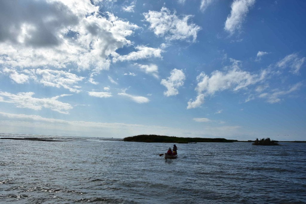
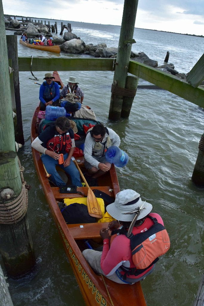
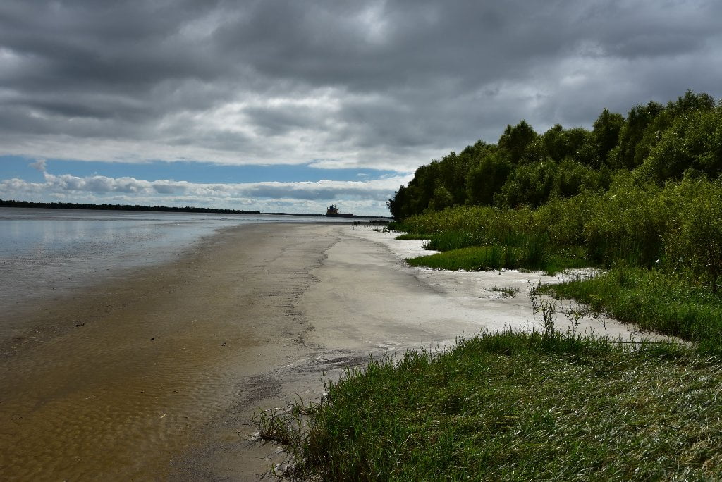
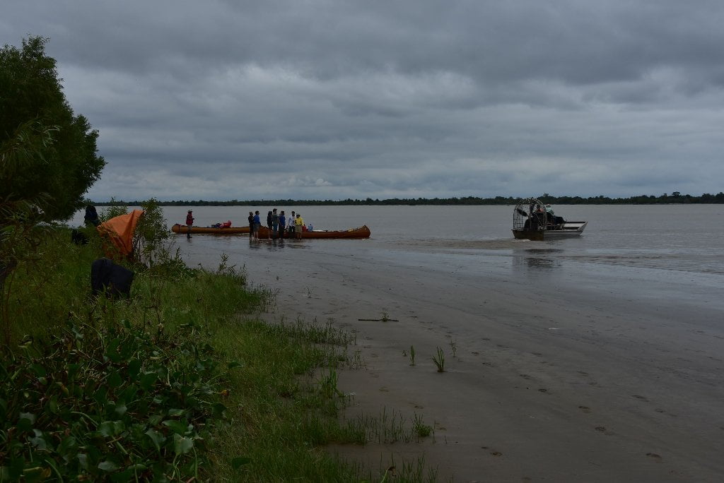
33 RBD Sixty-Mile Point
Low water only. Natural wild shoreline with possible low-water camping and picnicking, but shallow approach. Watch for tides and waves from passing ships.
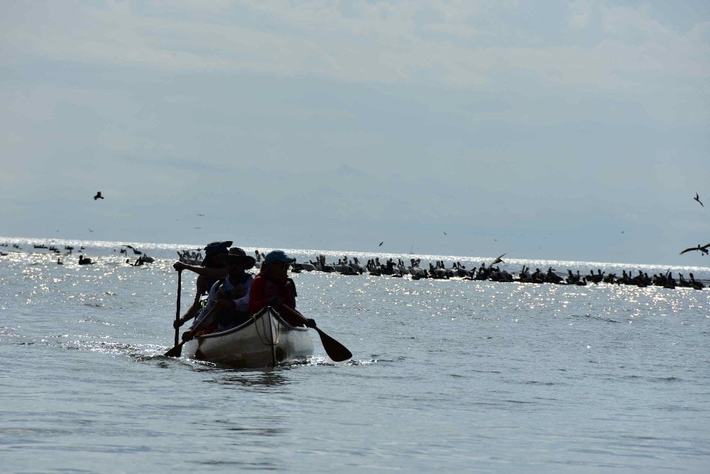
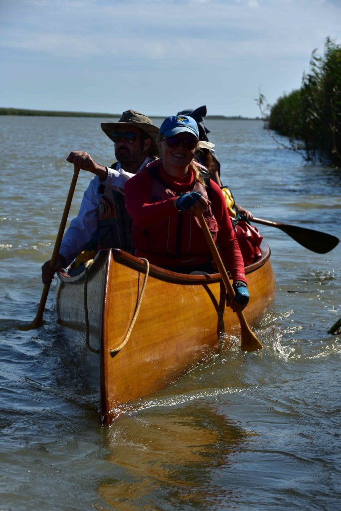
Partially due to the bend of the river here, and partially due to the Nairn 1973 Flood Crisis, a widening of the batture is found on the West Bank between 34 and 32 RBD, with a wild protected riverbank and a wide wetlands as result. Natural sandbars and mudbars are found along the river’s edge, with viable low water picnic and camp sites Highest sandy spots found near mile marker 33. If the water is up to the tree look for open sandy ridge behind running parallel to river in between walls of willow. Swampy woods behind descending into swampy wetlands covered in water hyacinth. Wide sandy shelf extending far into river at low tide makes for shallow approach. Excellent birding in these wetlands, in no small part due to the prolific insect population here, including hornets. Be very careful around trees, big driftwood logs, or man-made structures for hornet and wasp nests. Also, watch for tough webs woven by the brilliant eye-catching golden-silk spider as you walk through woods. The female are 2-4 times bigger than the males. Also known as the “banana spider” their webs are unusually large, usually from tree-to-tree across big openings, with the hard-to-miss spider in the center, often vibrating madly when they sense intruders. Another exotic spider found here is the and the crab like orb weaver, a clumsy and ungainly arachnid its topside a hard shell of glossy yellow with black dots and 6 distinctive black “thorns” protruding from the outer edge. An incredible variety of insects thrives here from the fantastic to the grotesque, including moths, butterflies, ants (fire ants included of course), and other creepy-crawlers, slitherers, fliers, hoppers and jumpers. The latter include the grotesquely big Eastern Lubber Grasshopper (Romalea guttate). They look like giant purplish-black locusts, some measuring 4 inches long. And they are fat. One of them would make a meal if not for poisonous juices that can knock a bird down. The old timers in the New Orleans area called them “chevals diable” or more commonly today “devil’s horses.”
Rising Oceans and Disappearing Landscapes
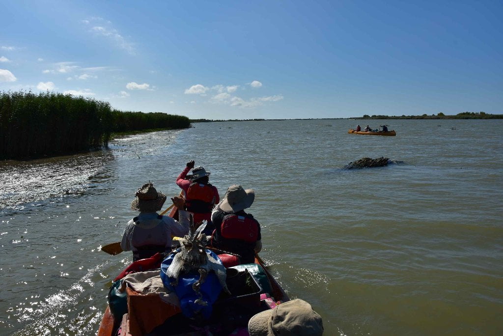
As you paddle on below Sixty Mile Point the lands on either side of the river become noticeably skinnier and skinnier, and the marsh lands and open waters approach closer and closer. And as the years go by the land is getting less and the open water more. Lower Mississippi Riverkeeper Paul Orr shared the following essay for the Rivergator:
Before humans began settling this land, there were many miles of thick, vibrant wetlands between it and the Gulf of Mexico. These wetlands – some of the largest and lushest outside of the Amazon – were the first and best line of defense against the winds and storm surges of hurricanes. These coastal marshes provided friction, which slowed down storm surges; cypress trees formed a strong barrier, weakening the winds and rising waters that smashed against them. These coastal wetlands greatly diminished the strength of storm surges that cause flooding, and the more of these wetlands humans can place between ourselves and open water, the better. But much of the wetlands that once protected New Orleans are now gone. Since 1932 alone, the Louisiana coast has lost nearly 2,000 square miles of land; that’s the equivalent of more than a football field every hour of every day since 1932! And the rate of land loss is only increasing. How did this happen? As early as 1699, French settlers were selling cypress lumber from Biloxi, and soon after the establishment of New Orleans, they began cutting down bald cypress trees for lumber and clearing the once-fertile lands along the Mississippi River for agriculture.
The seasonal flooding of the Mississippi River presented a serious challenge to the establishment of a permanent settlement, so the French colonists began building levees around New Orleans almost immediately with the city’s founding to keep the Mississippi floodwaters at bay. This practice of attempting to control the Mississippi River floodwaters with levees would steadily increase as more and more land was developed for agriculture and human settlement. By the early 1900s, the seemingly endless supply of cypress timber ended. Nearly every bald cypress tree in Louisiana from which usable lumber could be produced had been cut down. Today, the cypress trees you see in the swamps of Louisiana are almost all younger than the city of New Orleans. These infant trees can take hundreds of years to mature and can live for a thousand years or more.
In 1927 a truly massive Mississippi River flood nearly wiped out all of the human inhabitants of the Lower Mississippi River basin. The event would become known as the Great Flood of 1927, and in response, the federal government began an unprecedented project to control the Mississippi River. Levees, spillways, water control structures, locks, dams and other systems were put in place. Major distributary channels that had carried water from the Mississippi through the wetlands to the Gulf – like Bayou Manchac, Bayou Plaquemines, Bayou Lafourche, and Bayou Barataria – were disconnected, and levees were built all they way from north of Baton Rouge to the end of the river. In southeast Louisiana, the Mississippi River was essentially completely disconnected from its delta. The lands and plant systems of southeast Louisiana, which relied upon the seasonal inundation of fresh water and new sediment for their existence, were suddenly left without it.
At around the same time as the beginning of the federal flood control project and the cutting of the last cypress trees, the oil and gas industry spread along the Louisiana coast and into the Gulf of Mexico. The only way to get oil and gas exploration and production equipment into the wetlands of southeast Louisiana was to dig out canals so that equipment could be floated in on barges. Some 10,000 miles of canals were cut, crisscrossing through the wetlands of the Louisiana coast. These canals allowed salt water from the Gulf of Mexico to kill freshwater plants, which would otherwise have held the soil together. With the plants gone, waves and storm surge were free to scour the land away, farther and farther inland.
In addition to these problems, climate change is causing sea levels to rise, threatening Louisiana’s coast and coastal restoration efforts. James Hansen, the climate scientist who warned Congress about the human causes of global warming back in 1988, recently released a paper predicting that there will be a 50-year period later this century/early next, during which sea levels will rise 10 feet. An increase of this magnitude would submerge the homes of millions of Americans, not only in New Orleans, but also in New York, Miami and several other cities – truly making ours “One Nation Under Water.”
But there are some glimmers of hope. To a great extent, the wetlands can be rebuilt through a difficult and costly combination of processes, including water diversions, fill-ins, re-planting marsh grass and cypress swamps, etc. The key challenge to achieving coastal wetland restoration lies in harnessing the political will to make it happen from a funding standpoint. But citizens of Louisiana now seem to be concerned enough to take the necessary action. In 2012, the State of Louisiana published a master plan for the restoration of Louisiana’s coast. This ambitious plan laid out a framework for the restoration of the coastline… if the nearly $50 billion could be found to actually fund the projects.
But why should the public pay to restore land destroyed by private companies that made fortunes in the process? On July 24, 2013, the Southeast Louisiana Flood Protection Authority East (SLFPA-E), the levee board responsible for protecting most of greater New Orleans, filed suit against 97 oil, gas and pipeline companies for the coastal land loss they’ve caused and its threat the state’s flood protection. As you can imagine, there was a swift and vitriolic backlash against this from the current governor and other Louisiana politicians. Seventeen bills were introduced in the Louisiana Legislature that session, attempting to stop the SLFPA-E lawsuit. Despite all of this, the lawsuit against the oil and gas companies seems to be alive for now, and Plaquemines Parish and Jefferson Parish have now filed their own lawsuits, designed to hold these companies accountable for the environmental damage they’ve wrought.
The city on the banks near the end of the Mississippi River that we call New Orleans is inexorably connected to water – nestled between the Mississippi and Lake Pontchartrain and just a stone’s throw from the Gulf of Mexico. Water built her, more than once water has almost destroyed her, and water may end her existence once and for all… perhaps sooner than later. All of coastal Louisiana – remember New Orleans is a coastal city – is in a state of crisis, and New Orleans is more exposed to hurricanes than at any other time in the city’s history. Over the nearly 300 years since the city’s founding, humans have used technology to alter the landscape around New Orleans. These actions have produced unforeseen consequences, causing south Louisiana to sink into the Gulf of Mexico, and if we don’t so something about it, we will all be in trouble.
The comings months and years will see this epic battle play out – a battle for Louisiana’s future – for its people and their right not to be washed away by corporate greed and political corruption. We can only hope that the story of this fight inspires all Americans to lift up their voices and their votes in favor of common-sense environmental protection. (Paul Orr)


Leave A Comment
You must be logged in to post a comment.