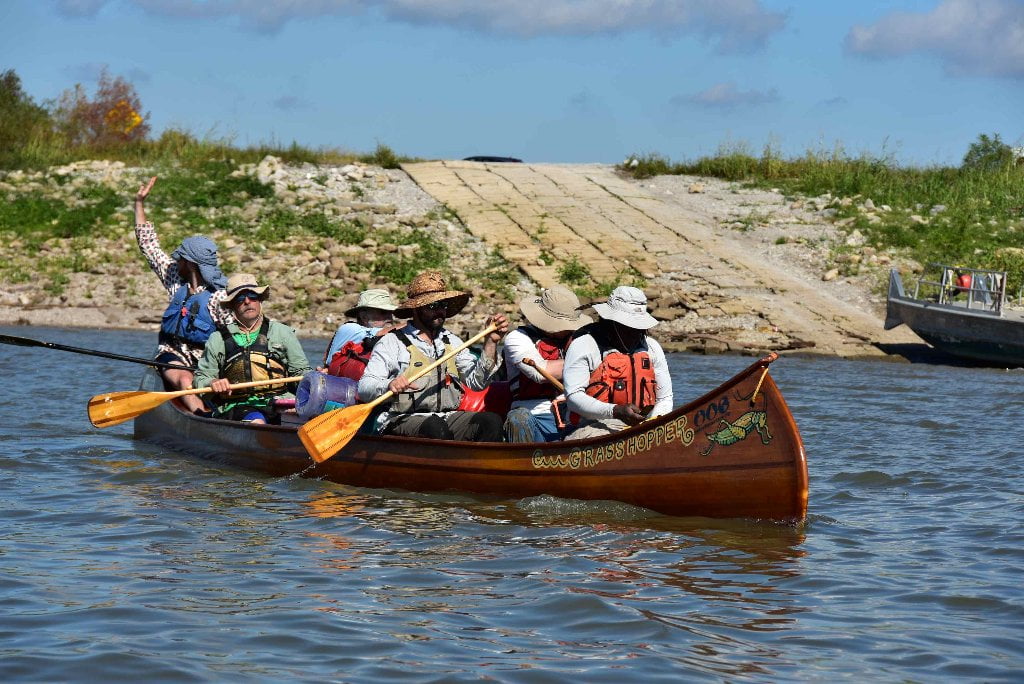
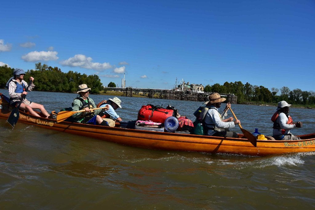
The Lower Mississippi River Water Trail
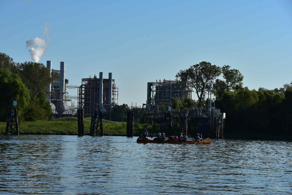
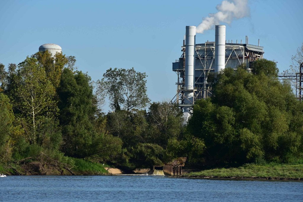
129.5 LBD Entergy Louisiana, Inc., Little Gypsy Power Plant
Natural gas fired power plant owned by Entergy. You will paddle past an attractive inlet which cuts into the forests of Thirty-Five Mile Point. This was carved by Entergy as it wastewater outlet. In low water you will see the concrete pipe structure and the greenish heated water pouring out. In high water you won;t see anything but bubbles rising mysteriously upward. In 2009 Canadian adventurer Brett Rogers photographed a white pelican hanging like an angel with outspread wings from some fishing lines wrapped around a tree from previous highwaters. This tragic scene was recorded in Brett’s Old Man River documentary film, which can be found and viewed online. See Rivergator Appendix for link
129.4 LBD Entergy Montz Power Plant
128.9 RBD Occidental Chemical Koch Industries, Taft Plant Dock
Occidental Chemical (OxyChem) produces chlorine, caustic soda (sodium hydroxide) and caustic potash (potassium hydroxide). It’s toxic releases for 2013 were 105 pounds into the air and 209 into the river.
128.8 LBD False Boat Ramp
Don’t stop here unless in emergency. This is a rocky landing with boulders strewn about, and other hazardous objects that you could run into when the water covers them, and a mud pit when the water is low. No access from here to Visitor’s Center. The public boat ramp is located at the bottom end of the Bonnet Carre Spillway, one and a half miles further downstream, at 127.3 LBD.
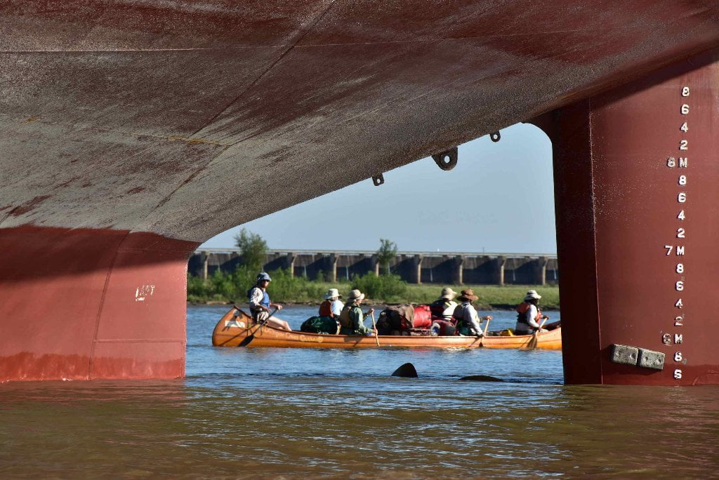
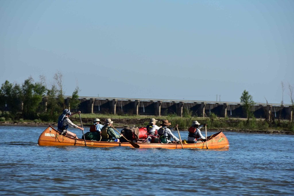
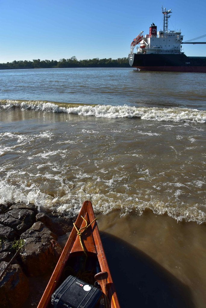
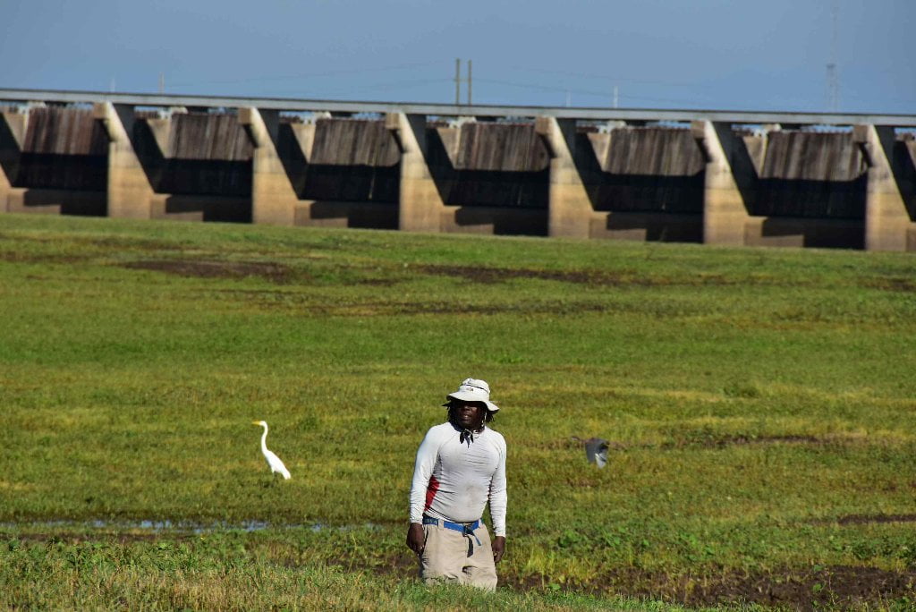
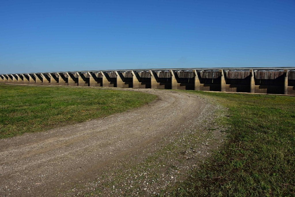
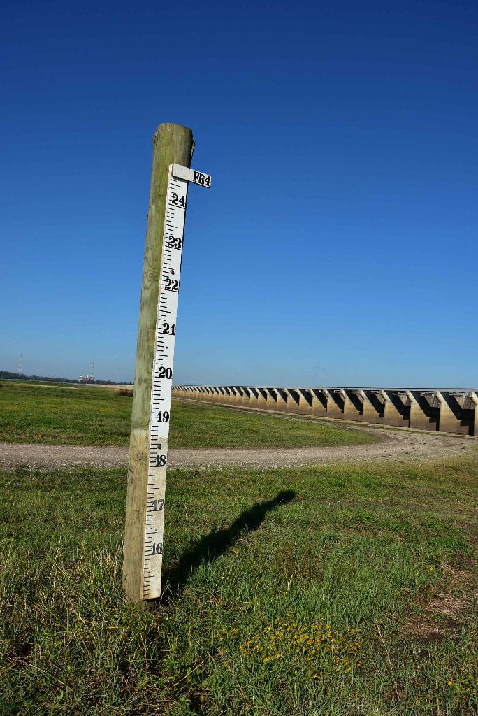
128.8 – 127.3 LBD Bonnet Carre Spillway
Great picnicking and sight-seeing at south end (access from boat ramp). Visitor’s Center. Possible camping, but must gain USACE permission first.
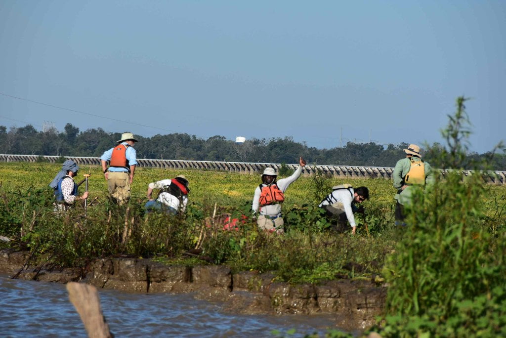
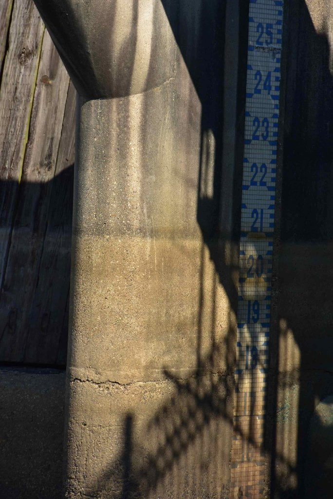
Bonnet Carre Spillway makes a great rest stop and site visit at an important point of interest for paddlers (Visitor’s Center atop Spillway Gates on South side). It is also has the only paved public boat ramp within the vicinity of the City of New Orleans. The Boat Ramp located at the south end of the spillway, LBD 127.3, is paved, but typically narrow and steep. Be very cautious if loading or unloading a vessel here. Passing freighters make for big crashing waves. The concrete is revetment (Composed of concrete slabs) and very rough. The next possible public boat ramp is a primitive gravel ramp south of New Orleans in Plaquemines Parish at RBD mile 78.
Your best bet for a soft landing is above the boat ramp in the muddy/grassy flats. Pick a good spot and pull your vessel in well above the waves that can splash ashore here. Deep inlets lead into the grassy flats that make a great harbor for this purpose. Pull in and tie your vessel down to something permanent like a tree trunk, or a driftwood log. If nothing is to be found nearby push a couple of your paddles as deep as you can into the mud and make that your anchor point. Walk up to the parking lot above ramp, or roadway on levee leading up to the Bonnet Carre Spillway Visitor’s Center.
Even though there is grassy dry ground (at low water) and an inviting mile-wide opening with no industry or rip-rap its mouth, there is no camping allowed at the USACE maintained Bonnet Carre Spillway. But with some advance planning you could possibly gain permission by calling or writing to the project manager on site. If you do not ask permission, and make an illegal camp, you might be chased off in the middle of the night by the St. Charles Parish Sheriff Dept, or worse be rudely awaken by the revelry & mayhem of infrequent 4WD midnight trouble-makers. For more information, contact the Office of the Project Manager, Bonnet Carre Spillway, P.O. Box 216, Norco, LA, 70079, or call 985-764-7484.
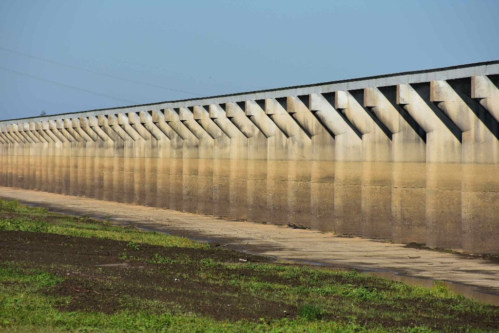
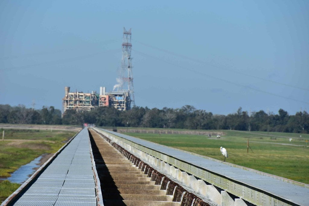
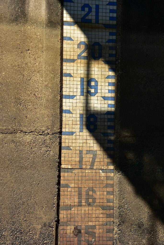
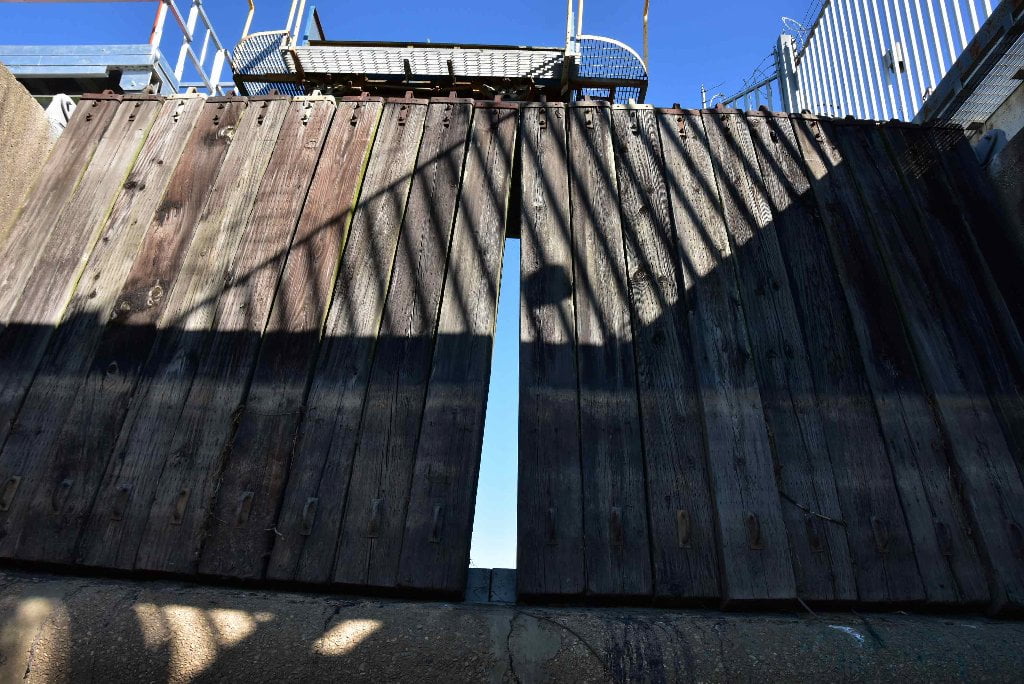
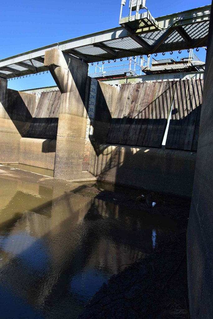
The Bonnet Carre Spillway is one of the important elements in the overall plan for the protection of the Lower Mississippi Valley from major floods. Designed to ensure the safety of New Orleans and the levee system above and below the city, the spillway structure and the floodway that carries the flood flow into Lake Ponchartrain have a design capacity of 250.000 cubic feet per second. The Bonnet Carre area. where crevasses had been so frequent before 1900. was a natural choice for the location of the flood outlet. The spillway project was completed in 1935. at a cost of more than $14 million. and consists of a concrete control structure with 350 individual bays which can be opened or closed by lifting or dropping the huge timbers that are called “needles.” The Bonnet Carre Spillway was used in 1937. 1945. 1950. 1973. and. briefly. in 1975. In every case. the spillway relieved the pressure on the levee system below and served the purposes for which it was designed. In 1965 the structure suffered considerable damage when Hurricane Betsy swept across it. blowing out all 7.000 of the timber needles. The winds of more than 100 miles per hour blew down trees in the area. damaged fences. and destroyed all the signs. Repairs were made after the storm. the timber needles were quickly replaced. and no permanent damage was done. The same hurricane in 1965 had wrecked or stranded 176 vessels between Baton Rouge and the Gulf. The storm came out of the Gulf of Mexico. hit the shore just west of Grand Isle, lashed New Orleans with 125 miles per hour winds, and passed west of Baton Rouge with winds still blowing harder than 100 miles per hour. In Louisiana, 81 people died in Hurricane Betsy, 17,600 were injured, and 250,000 had to be evacuated from their homes. Total damages were estimated at about two billion dollars. During the flood of 1973, a serious emergency arose just above the Bonnet Carre Spillway when a caving river bank threatened the integrity of the mainline levee at Gypsy plantation. To prevent a levee failure that would have been disastrous, the Corps of Engineers had to construct a setback levee. The only feasible location for the setback, unfortunately, was right through the middle of the small community called Montz, Louisiana, which lay directly behind the levee. The 44 families who lived in the village were consulted, and after being informed of the very real danger of a crevasse, agreed to the relocation of their homes. Some of the houses were moved, other were demolished, and the residents of the community were relocated in other communities. The town of Montz, Louisiana, ceased to exist. The engineers constructed the setback in record time, and the levee was saved. (Braggs)
128.8 – 127.3 LBD Bonnet Carre Anchorage
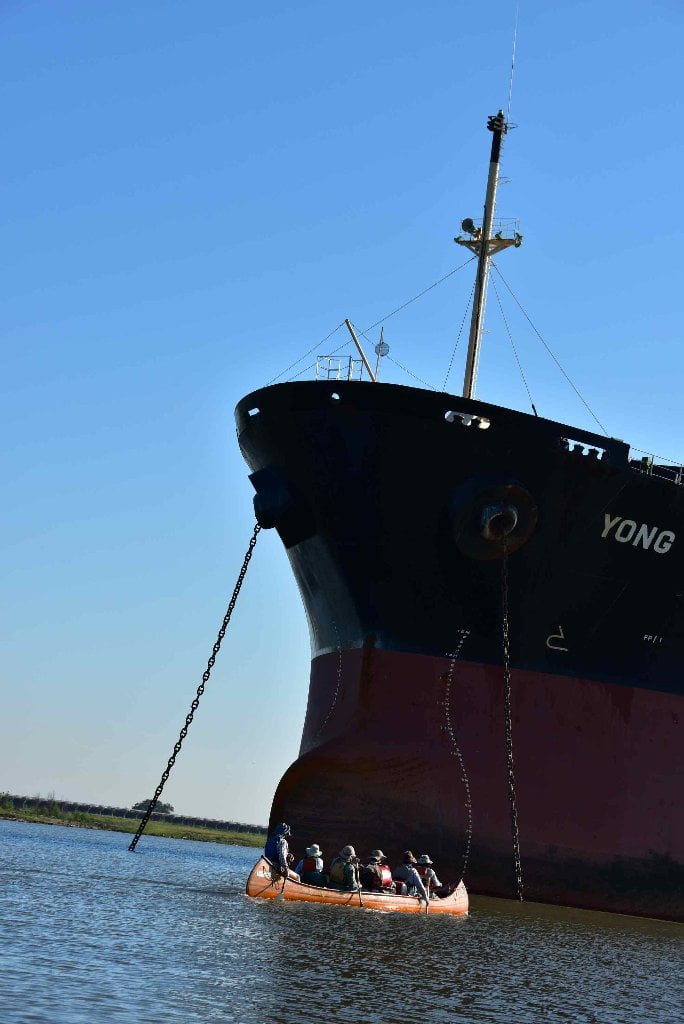
The Bonnet Carre Anchorage coincides exactly with the mileage of the spillway, so paddlers coming around Thirty Five Mile Point intending to stop at the Spillway will need to negotiate these freighters in one fashion or the other. As will other anchorages below Baton Rouge, there is very little activity within the Bonnet Carre Anchorage until the big vessels are getting ready to move (or when they are coming into anchorage).
127.3 LBD Spillway Boat Ramp
This is your last safe haven before the very busy gauntlet of petrochem giants found downstream for the next 3 miles. Stay on land at this location if conditions are bad, such as oncoming storms, high winds, or nightfall.
This ragged ramp is the only paved public boat ramp within the vicinity of the City of New Orleans. The Boat Ramp located at the south end of the spillway, LBD 127.3, and is paved with a jumble of revetment blocks, five layers wide, articulated concrete rectangles, held together by stainless steel wire, and typically narrow and steep. Be very cautious if loading or unloading a vessel here. Very little room for error on sides. Passing freighters make for big crashing waves. The concrete is broken up into slabs and very rough. The next possible public boat ramp is a primitive gravel ramp south of New Orleans in Plaquemines Parish at RBD mile 78.


Leave A Comment
You must be logged in to post a comment.