The Lower Mississippi River Water Trail
101.1 LBD Henry Clay Avenue Wharf
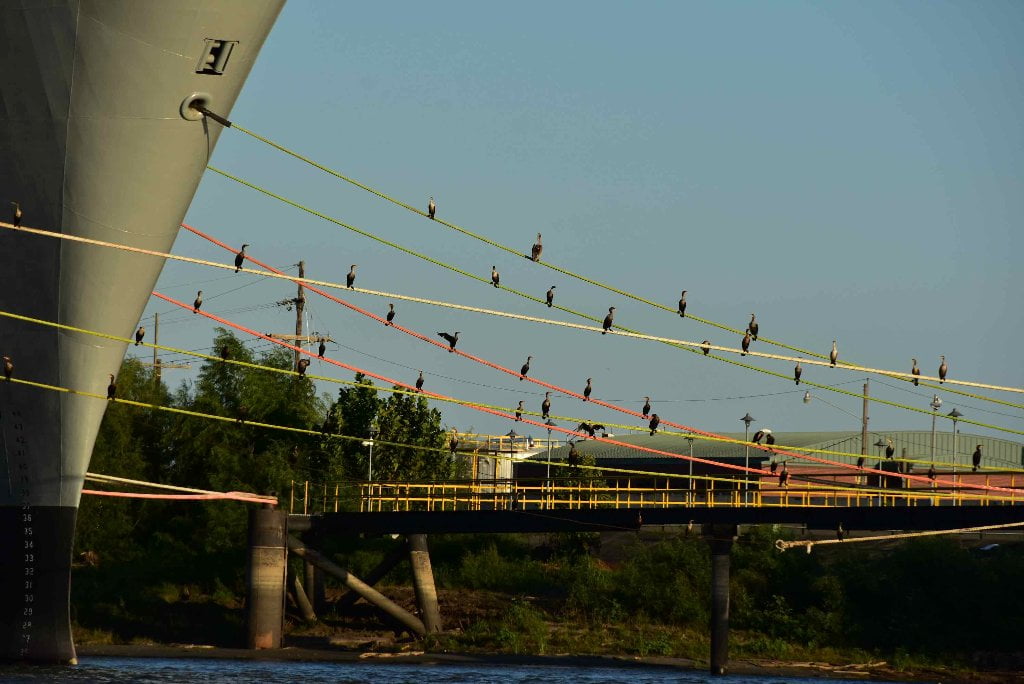
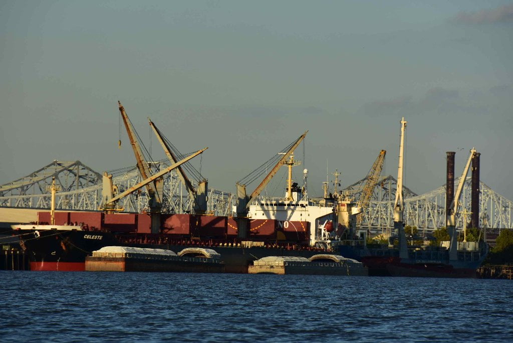
The Henry Clay Avenue Wharf is the first of dozens of wharves that line the East Bank riverbank from here on down to the Industrial Canal with colorful docks, piers, cranes, and all sorts of cargo and containers, and line and lines of warehouses and raw goods behind, everything possible under the sun that is shipped in and out of southern Louisiana comes through this port from coffee to oil dispersion chemicals. Paddlers, welcome to the Port of New Orleans!
100.8 LBD Nashville Avenue Wharf A, B, and C
The Nashville Avenue Wharves A, B, and C extend for a full mile downstream along the East Bank below 6-Mile Point.
100.8 RBD Industrial Pump Sales and Repair, Inc., Repair Dock
100.5 RBD Louisiana Dock Co., Marrero Fleet Mooring
100 LBD – New Orleans Container Terminal
Modern container facility with six gantry cranes and 640,000 annual Twenty-Foot Equivalent Unit (TEU) capacity located on a 65 acre site. There is 2,000 feet of berth space able to accommodate vessels with 45 feet of draft. An intermodal rail terminal next to container terminal provides easy access for rail shipments.
99.8 LBD Magellan Marrero Terminal Docks
99.5 LBD Napoleon Avenue Container Terminal
It would impossible to access land here, but you might be interested to know that the great New Orleans tradition, Tipitina’s is directly behind the Napoleon Avenue Landing. See above for address.
99.4 RBD Fuel and Marine Marketing, LLC, Marrero Terminal Wharf
99.3 RBD Jefferson Parish Consolidated Water Intake
99.1 LBD Milan Street Wharf
98.9 RBD Marlex Terminals, Harvey Mooring Pier
98.9 LBD Louisiana Avenue Wharves
98.2 RBD Harvey Lock – Entrance to the Harvey Canal
Lock through here to gain entrance to the Harvey Canal, which in turn will bring you to the Intracoastal Waterway West — running towards towards Morgan City, and eventually into Texas.
The Harvey Canal, located on the west bank of the Mississippi opposite New Orleans, connects the Gulf Intracoastal Waterway with the Mississippi at New Orleans by way of a 6.5-mile canal that was built by the Army Corps of Engineers. The Harvey Canal had its origin in a private canal that was in use long before the Corps facility was built. The canal had been opened up by a sugar planter in the area for drainage purposes. Some accounts say that Noel d’Estrehan had his slaves dig the canal, and other say that it was dug by German immigrants who were paid in land. In any case, the canal proved useful for many purposes, and atone time boats that wanted to use it were hauled over the levee on a contraption that the boatmen called “the Submarine Railroad.” In 1845 Joseph Hale Harvey of Virginia married one of d’Estrehan’s daughters, and built an elaborate home near the canal. He widened and deepened the waterway, and the river pilots called his ornate, turreted house “Harvey’s Castle” and his canal “Harvey Canal.” In 1942 the Harvey family sold the canal and its appurtenances to the United States Government. The house was demolished, and a new lock gate replaced the crude one that had been in use for many years. The new lock was opened for navigation in 1934. The Harvey Lock is open to all water traffic, free of charge. It is in operation day and night, every day in the year. In 1974, 6 million tons of cargo passed through the lock. Pleasure boats as well as commercial vessels use it as a route to the GIWW west to Brownsville, Texas. (Braggs)
98.1 LBD Harmony Street Wharf
97.9 RBD Crompton Corp., Harvey Dock
97.8 LBD Seventh Street Wharf
97.6 LBD Washington Avenue Wharf
97.5 LBD Harbor Police (Third Street) Wharf
97.4 RBD International-Matex Tank Terminals, Ltd., Gretna Dock #6
97.3 LBD First Street Wharf
97.1 LBD St. Andrew Street Wharf


Leave A Comment
You must be logged in to post a comment.